
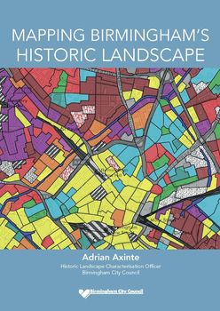
Birmingham Historic Landscape Characterisation (HLC)
Adrian Axinte, 2017. https://doi.org/10.5284/1043264. How to cite using this DOI
Data copyright © Birmingham City Council unless otherwise stated
This work is licensed under the ADS Terms of Use and Access.

Primary contact
Adrian
Axinte
Programme Co-ordinator
Education Infrastructure - Asset Management
Birmingham City Council
PO Box 15843
Birmingham
B2 2RT
Resource identifiers
- ADS Collection: 2164
- DOI:https://doi.org/10.5284/1043264
- How to cite using this DOI

Introduction
The main project phase of the historic landscape characterisation of Birmingham was carried out between November 2011 and December 2014, when the HLC database of records and character areas was completed and the final project report written. The Birmingham HLC maps, describes and dates the past and present uses of every piece of land within today's city area, as far back in time as the available, predominantly cartographic, sources allowed (back to at least 1540). In fact, a useful 'by-product' of this project was the creation of a database containing almost all the relevant historic maps and aerial photos of the Birmingham area; many of them are now viewable on one of the HLC mapping webpages.
The completion of the HLC database was followed during 2015 by a number of additional activities:
- Customised HLC data was supplied to a Historic England national research project.
- HLC webpages were created both on the Council's main site and on its local mapping site.
- The 'Mapping Birmingham's Historic Landscape' brochure was written and published.
- An awareness raising launch event was held in September 2015.
The Birmingham HLC was a collaborative project between Historic England (previously English Heritage) who provided financial support as part of its countrywide characterisation programme, and Birmingham City Council (BCC) who provided extensive technical, management and administrative support, and in particular its Planning and Regeneration Department where the project was based. This characterisation project was the last amongst its regional neighbours to be completed and as such it was able to benefit from their experience, advice and support.
