
Land at Banbury Road, Southam, Warwickshire. Archaeological Evaluation (OASIS ID: cotswold2-316306)
Cotswold Archaeology, 2018. https://doi.org/10.5284/1047602. How to cite using this DOI
Data copyright © Cotswold Archaeology unless otherwise stated
This work is licensed under the ADS Terms of Use and Access.

Primary contact
Cotswold Archaeology
Building 11
Kemble Enterprise Park
Cirencester
GL7 6BQ
UK
Tel: 01285 771022
Fax: 01285 771033
Resource identifiers
- ADS Collection: 3171
- DOI:https://doi.org/10.5284/1047602
- How to cite using this DOI
Introduction
In September 2017, an archaeological evaluation was undertaken by Cotswold Archaeology of land at Banbury Road, Southam, Warwickshire. The work was undertaken to fulfil a condition attached to planning consent for residential development of up to 47 dwellings.
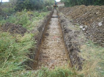
The fieldwork comprised the excavation of five trenches. Interest in the site derives from its location within the hinterland of Southam, a medieval settlement which developed into a small light-industrial town during the 19th and 20th centuries. A previous geophysical survey of the site did not identify any anomalies of archaeological origin; however, geophysical survey to the immediate west identified a possible round house and length of ditch of probable Iron Age or Romano-British date.
The evaluation has recorded evidence for archaeological features, concentrated in the western part of the site, comprising three linear ditches. No dateable material was recovered from these features, which may represent further components of the putative Iron Age/Romano-British settlement identified to the west, outside of the site. The evaluation also identified a series of furrows on an east to west alignment, located across the site.
