Land at Kidderminster Road, Hagley, Worcestershire

Cotswold Archaeology, 2015. https://doi.org/10.5284/1034392. How to cite using this DOI

Digital Object Identifiers

Digital Object Identifiers (DOIs) are persistent identifiers which can be used to consistently and accurately reference digital objects and/or content. The DOIs provide a way for the ADS resources to be cited in a similar fashion to traditional scholarly materials. More information on DOIs at the ADS can be found on our help page.

Citing this DOI

The updated Crossref DOI Display guidelines recommend that DOIs should be displayed in the following format:

https://doi.org/10.5284/1034392
Sample Citation for this DOI

Cotswold Archaeology (2015) Land at Kidderminster Road, Hagley, Worcestershire [data-set]. York: Archaeology Data Service [distributor] https://doi.org/10.5284/1034392

Data copyright © Cotswold Archaeology unless otherwise stated

This work is licensed under the ADS Terms of Use and Access.
Creative Commons License


Cotswold Archaeology logo

Primary contact

Hazel O'Neill
Cotswold Archaeology
Building 11
Kemble Enterprise Park
Cirencester
GL7 6BQ
UK
Tel: 01285 772624

Send e-mail enquiry

Resource identifiers

Digital Object Identifiers

Digital Object Identifiers (DOIs) are persistent identifiers which can be used to consistently and accurately reference digital objects and/or content. The DOIs provide a way for the ADS resources to be cited in a similar fashion to traditional scholarly materials. More information on DOIs at the ADS can be found on our help page.

Citing this DOI

The updated Crossref DOI Display guidelines recommend that DOIs should be displayed in the following format:

https://doi.org/10.5284/1034392
Sample Citation for this DOI

Cotswold Archaeology (2015) Land at Kidderminster Road, Hagley, Worcestershire [data-set]. York: Archaeology Data Service [distributor] https://doi.org/10.5284/1034392

Museums Worcestershire logo

Introduction

Land at Kidderminster Road, Hagley, Worcestershire

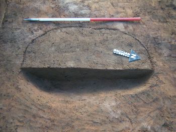
An archaeological evaluation was undertaken by Cotswold Archaeology in October and November 2013 on land at Kidderminster Road, Hagley, Worcestershire. A total of fifty three trenches were excavated.

The evaluation identified limited evidence for activity pre-dating the post- medieval/modern eras. An undated possible posthole and five undated possible pits were identified. A number of field boundaries were identified which appear to correspond to boundaries depicted on the 1838 Hagley Tithe Map. Pottery and flint recovered from colluvial and alluvial deposits recorded within the site may suggest activity of either prehistoric or Anglo Saxon period in the area surrounding the site.


ADS logo
Data Org logo
University of York logo