
Extensive Urban Survey - Hampshire and the Isle of Wight
Dave Hopkins, 2004. https://doi.org/10.5284/1000227. How to cite using this DOI
Data copyright © Hampshire County Council, English Heritage unless otherwise stated
This work is licensed under the ADS Terms of Use and Access.

Primary contact
Dave
Hopkins
Environment Group
Hampshire County Council
County Planning Dept
The Castle
WINCHESTER
SO23 8UE
Resource identifiers
- ADS Collection: 378
- DOI:https://doi.org/10.5284/1000227
- How to cite using this DOI

Introduction
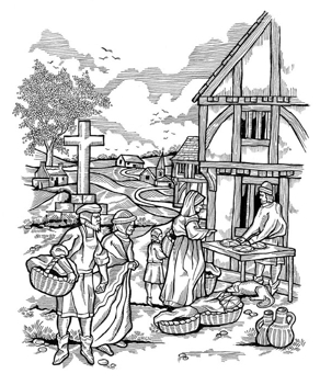
Hampshire and the Isle of Wight have a number of urban settlements that were founded as, or developed into, market towns in the medieval period. These historic towns are an important part of the two counties and represent the heart of community and economy in the past and today. The towns largely retain their medieval street plans, market areas, religious sites and often some of the medieval domestic and commercial buildings, making them places of character, beauty and interest.
The Hampshire and Isle of Wight Extensive Urban Survey (EUS) was funded by English Heritage as part of their national programme of Extensive Urban Surveys and was undertaken by archaeologists from Hampshire County Council's Environment Group between 1997 and 1999. The survey covers 30 historic towns, 23 in Hampshire and 7 on the Isle of Wight and provides a review of the historical and archaeological significance of the towns, and areas within the towns, setting out guidelines for their future sustainable management. The surveys do not include the urban centres of Winchester or Southampton which were more suitable for the Urban Area Database (UAD) project, also funded by English Heritage.
The project is intended to provide an up-to-date view of the archaeological resource in each of the towns, building on earlier surveys [Basford, H.V. 1980: The Vectis Report Isle of Wight County Council; Hughes, M.F. 1976: The Small Towns of Hampshire. The Archaeological and Historical Implications of Development Hampshire Archaeological Committee]. The work consisted of three phases: Data Collection, Data Assessment and Strategy. These phases are described in more detail in the Overview section.
The Data Assessment phase of the survey leads to the production of a report which presents a brief history of the town, an analysis of the plan of the town, an assessment of the archaeological and buildings data, and the state of modern development resulting in the identification of areas of archaeological importance. The towns covered by the project are shown on the map.
