
Rapid Coastal Zone Assessment: North East
Archaeological Research Services Ltd, 2009. (updated 2011) https://doi.org/10.5284/1000385. How to cite using this DOI
Data copyright © English Heritage, Archaeological Research Services Ltd unless otherwise stated
This work is licensed under the ADS Terms of Use and Access.


Primary contact
Archaeological Research Services Ltd
Angel House
Portland Square
Bakewell
DE45 1HB
UK
Tel: 01629 814540
Resource identifiers
- ADS Collection: 884
- DOI:https://doi.org/10.5284/1000385
- How to cite using this DOI
Introduction
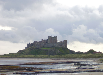
The North East Rapid Coastal Zone Assessment, or NERCZA, is one of a series of projects initiated by English Heritage around the coasts of England. The project was undertaken by Archaeological Research Services Ltd. The NERCZA study area consists of approximately 200km of coastline between the Lowest Astronomical Tide (LAT) and 1km inland from Mean High Water Springs (MHWS), and includes Coquet Island and the Farne Islands which lie offshore and Holy Island, joined to the mainland at low tide by a causeway.
Phase 1 (March 2007 to December 2008) comprised a desk based rapid coastal zone assessment of the threat posed to heritage assets in the North East by rising sea level and consequential coastal erosion. The review of the heritage assets has been based on a consideration of two data sets. The first consists of the Historic Environment Records (HERs) maintained by or for the Local Authorities with curatorial responsibilities for this section of the coast. The second data set consists of the aerial photograph coverage of the study area from which all archaeological features visible have been mapped to the standards of English Heritage's National Mapping Programme.
Phase 2 (September 2009 to February 2010) carried out field survey of fifteen threatened areas. Each site was investigated and surveyed utilizing mapping grade Global Positioning System (GPS) equipment, with extensive digital and paper records maintained along with extensive site photography.
The Rapid Coastal Zone Assessment Surveys (RCZAS) are an English Heritage initiative to inform and develop our knowledge of the coastal historic environment. For more information on the RCZAS please see the English Heritage RCZAS website. In addition to this several other RCZAS are also avaialable via the ADS.
