
Images and GIS Data from an Archaeological Evaluation at Brook Lane, Twigworth, Gloucestershire November 2020
Cotswold Archaeology, 2022. https://doi.org/10.5284/1097760. How to cite using this DOI
Data copyright © Cotswold Archaeology unless otherwise stated
This work is licensed under a Creative Commons Attribution 4.0 International License.

Primary contact
Cotswold Archaeology
Building 11
Kemble Enterprise Park
Cirencester
GL7 6BQ
UK
Tel: 01285 771022
Fax: 01285 771033
Resource identifiers
- ADS Collection: 4783
- DOI:https://doi.org/10.5284/1097760
- How to cite using this DOI
Introduction
This collection comprises images and GIS data from an archaeological evaluation at land off Brook Lane, Twigworth, Gloucestershire undertaken by Cotswold Archaeology in November 2020.
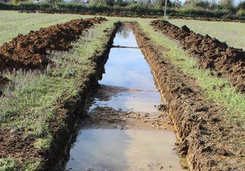
A total of 11 trenches were excavated. Two fragments of ceramic building material of broad Roman date, one of which could be identified as part of a tegula (flanged roof tile), were recovered from the fill of a slightly curving ditch of indeterminate function identified in a trench in the south-western part of the site (Trench 8). Evidence of medieval and/or post-medieval agricultural activity, comprising the ploughed-out remains of ridge-and-furrow cultivation, was identified throughout the site. Three ditches, correlating closely to linear anomalies, depicted by a preceding geophysical survey and as field boundaries on the First Edition 1884-1885 Ordnance Survey map, were identified cutting the subsoil within trenches excavated in the central part of the site. A number of undated ditches were identified in Trenches 5 and 8 in the central part of the site. The function of these features remains unclear; however the absence of artefactual and faunal material within the fills of these features suggests that they lay at an appreciable distance from any former settlement, and they are therefore considered most likely to have been associated with agricultural activity.
