GIS Data from an Archaeological Watching Brief at Denmark Road, Gloucester July 2018

Cotswold Archaeology, 2022. https://doi.org/10.5284/1097334. How to cite using this DOI

Digital Object Identifiers

Digital Object Identifiers (DOIs) are persistent identifiers which can be used to consistently and accurately reference digital objects and/or content. The DOIs provide a way for the ADS resources to be cited in a similar fashion to traditional scholarly materials. More information on DOIs at the ADS can be found on our help page.

Citing this DOI

The updated Crossref DOI Display guidelines recommend that DOIs should be displayed in the following format:

https://doi.org/10.5284/1097334
Sample Citation for this DOI

Cotswold Archaeology (2022) GIS Data from an Archaeological Watching Brief at Denmark Road, Gloucester July 2018 [data-set]. York: Archaeology Data Service [distributor] https://doi.org/10.5284/1097334

Data copyright © Cotswold Archaeology unless otherwise stated

This work is licensed under a Creative Commons Attribution 4.0 International License.
Creative Commons License


Cotswold Archaeology logo

Primary contact

Cotswold Archaeology
Building 11
Kemble Enterprise Park
Cirencester
GL7 6BQ
UK
Tel: 01285 771022
Fax: 01285 771033

Send e-mail enquiry

Resource identifiers

Digital Object Identifiers

Digital Object Identifiers (DOIs) are persistent identifiers which can be used to consistently and accurately reference digital objects and/or content. The DOIs provide a way for the ADS resources to be cited in a similar fashion to traditional scholarly materials. More information on DOIs at the ADS can be found on our help page.

Citing this DOI

The updated Crossref DOI Display guidelines recommend that DOIs should be displayed in the following format:

https://doi.org/10.5284/1097334
Sample Citation for this DOI

Cotswold Archaeology (2022) GIS Data from an Archaeological Watching Brief at Denmark Road, Gloucester July 2018 [data-set]. York: Archaeology Data Service [distributor] https://doi.org/10.5284/1097334

Introduction

Image from associated archaeological watching brief report: Trial Pit location plan, showing previous archaeological works, geophysical survey results and archaeological features

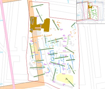
This collection comprises GIS data from an archaeological watching brief undertaken by Cotswold Archaeology in July 2018 during ground investigation works on land at Denmark Road, Gloucester.

Twenty-two Ground Investigation trial pits were excavated. Evidence for extensive post-medieval/modern quarrying on the site was recorded. Historic gravel extraction is documented on cartographic records and was identified during previous phases of archaeological work. No evidence for earlier activity was identified.


ADS logo
Data Org logo
University of York logo