
Images and GIS Data from an Archaeological Evaluation at Perryfields Road, Bromsgrove, Worcestershire November to December 2021
Cotswold Archaeology, 2022. https://doi.org/10.5284/1100767. How to cite using this DOI
Data copyright © Cotswold Archaeology unless otherwise stated
This work is licensed under a Creative Commons Attribution 4.0 International License.

Primary contact
Cotswold Archaeology
Building 11
Kemble Enterprise Park
Cirencester
GL7 6BQ
UK
Tel: 01285 771022
Fax: 01285 771033
Resource identifiers
- ADS Collection: 4932
- DOI:https://doi.org/10.5284/1100767
- How to cite using this DOI
Introduction
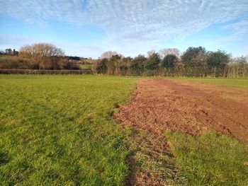
This collection comprises images and GIS data from an Archaeological Evaluation of land to the north-west of Perryfields Road, Bromsgrove, Worcestershire. This work was undrtaken by Cotswold Archaeology between November and December 2021.
The evaluation comprised the excavation of eight trenches, each measuring 50m in length by 1.8m in width, representing a 4% sample of the proposed development area. The evaluation identified two undated pits, and limited evidence of ridge and furrow cultivation.
