
Burdale: an Anglian settlement in the Yorkshire Wolds
Julian D Richards, Steve Roskams, 2013. https://doi.org/10.5284/1021540. How to cite using this DOI
Data copyright © Prof Julian D Richards unless otherwise stated
This work is licensed under a Creative Commons Attribution 4.0 International License.

Primary contact
Prof
Julian D
Richards
Department of Archaeology
University of York
King's Manor
Exhibition Square
York
YO1 7EP
England
Tel: 01904 433901
Fax: 01904 433902
Resource identifiers
- ADS Collection: 1596
- DOI:https://doi.org/10.5284/1021540
- How to cite using this DOI
Downloads
BUR06 CAD, by E. Thurston, 2007
https://doi.org/10.5284/1021542 ?
CAD (Vector graphics)
| CAD Scheme description | 133 Kb | |
| CAD Project metadata | 273 Kb |

PREVIEW |
Burdale Geophysical AP
This file references: Figure 3: Plan PXAssessment |
DWG | 604 Kb |
| DXF | 2 Mb | ||

PREVIEW |
Burdale Site Function
This file references: Figure 3: Plan PXAssessment |
DWG | 589 Kb |
| DXF | 2 Mb | ||

PREVIEW |
Burdale Site Phases
This file references: Figure 3: Plan PXAssessment |
DWG | 1 Mb |
| DXF | 4 Mb | ||

PREVIEW |
Burdale rectified aerial photograph
Used in BurdaleGeophysicalAP.dwg BurdaleSiteFunction.dwg BurdaleSitePhases.dwg |
JPG | 989 Kb |

PREVIEW |
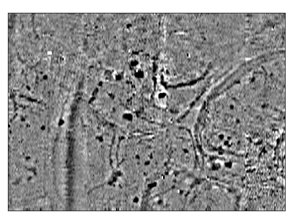
Burdale Gradiometry West realigned
Used in BurdaleGeophysicalAP.dwg BurdaleSiteFunction.dwg BurdaleSitePhases.dwg |
BMP | 792 Kb |

PREVIEW |
Burdale Gradiometry West
Used in BurdaleGeophysicalAP.dwg BurdaleSiteFunction.dwg BurdaleSitePhases.dwg |
BMP | 792 Kb |
