
Day of Archaeology Archive
Lorna-Jane Richardson, Matthew Law, Andrew Dufton, Kate Ellenberger, Stuart Eve, Tom Goskar, Jess Ogden, Daniel Pett, Andrew Reinhard, 2018. (updated 2021) https://doi.org/10.5284/1048331. How to cite using this DOI
Data copyright © Individual Authors unless otherwise stated
This work is licensed under a Creative Commons Attribution-ShareAlike 4.0 International License.

Resource identifiers
- ADS Collection: 3016
- DOI:https://doi.org/10.5284/1048331
- How to cite using this DOI

Alaskan Archaeological Adventures in Digital Terrain Analysis
Year: 2011 Author: Sarah Kessick Categories: Day of Archaeology 2011, Day of Archaeology
Tags: statistics, Alberta, Geographic Information Systems, southampton, LandSerf, Nunamiut, Topography, Landform, Archaeology, LiDAR, Geography, Lewis Binford, Science, Canada, oil and gas fields, Predictive modelling, Arctic Circle, Alaska
| Kessick, Sarah (2011): Alaskan Archaeological Adventures in Digital Terrain Analysis. https://doi.org/10.5284/1079243 | 287 Kb | ||
The images from the original post have been archived and are also available to download. In certain cases images can not be disseminated if they do not adhere to our sensitive data policy.

|
Example of the archaeological potential map (doa_image1994.jpg) |
JPG | 1.13 Mb |

|
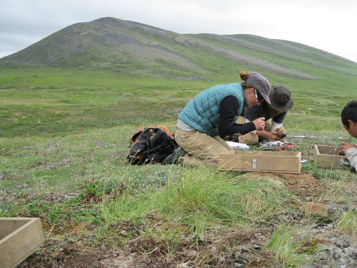
Finding stuff in the Foothills of the Brooks Range, Alaska (doa_image2001.jpg) |
JPG | 118 Kb |

|
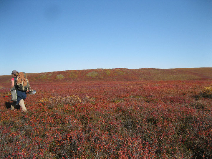
Fall in Alaska (doa_image2009.jpg) |
JPG | 130 Kb |

|
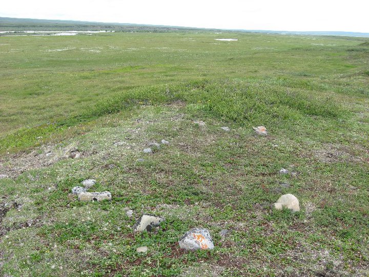
Tent Ring (doa_image2010.jpg) |
JPG | 153 Kb |

|
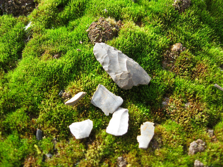
Artifacts (doa_image2011.jpg) |
JPG | 222 Kb |

|
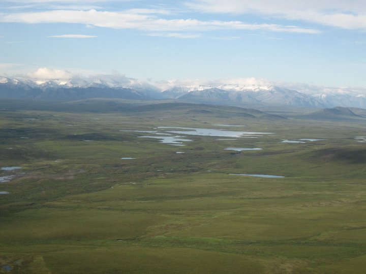
Brooks Range, Alaska (doa_image2012.jpg) |
JPG | 49 Kb |

|
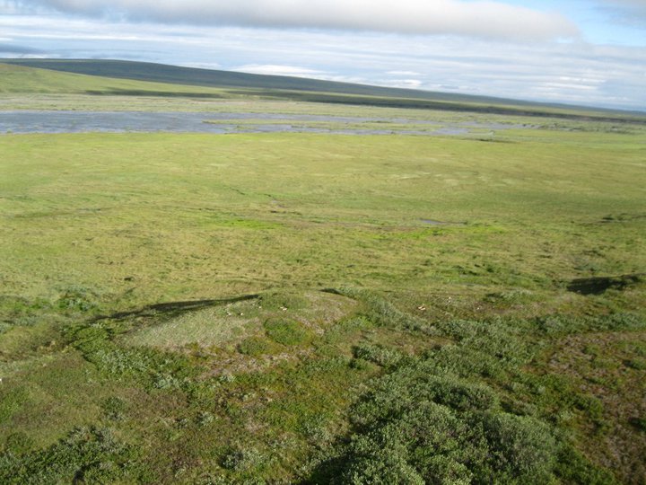
A terrace covered in archaeology (doa_image2013.jpg) |
JPG | 78 Kb |

|
Can you spot the tent rings? (doa_image2014.jpg) |
JPG | 98 Kb |
