
Day of Archaeology Archive
Lorna-Jane Richardson, Matthew Law, Andrew Dufton, Kate Ellenberger, Stuart Eve, Tom Goskar, Jess Ogden, Daniel Pett, Andrew Reinhard, 2018. (updated 2021) https://doi.org/10.5284/1048331. How to cite using this DOI
Data copyright © Individual Authors unless otherwise stated
This work is licensed under a Creative Commons Attribution-ShareAlike 4.0 International License.

Resource identifiers
- ADS Collection: 3016
- DOI:https://doi.org/10.5284/1048331
- How to cite using this DOI

Lynsey Halliday (RCAHMS) - Dumfries and Galloway
Year: 2013 Author: Historic Environment Scotland Categories: Buildings, Day of Archaeology 2013
Tags: #myarchaeology, Royal Commission on the Ancient and Historical Monuments of Scotland, Dumfries and Galloway, Anthony C. Wolffe, Scottish Archaeology, Lynsey Halliday, RCAHMMS, Canmore
| Historic Environment Scotland (2013): Lynsey Halliday (RCAHMS) - Dumfries and Galloway. https://doi.org/10.5284/1079797 | 385 Kb | ||
The images from the original post have been archived and are also available to download. In certain cases images can not be disseminated if they do not adhere to our sensitive data policy.
 as a JPG image")
|
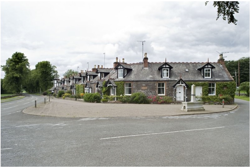
General view of Parton Village, taken from the ESE. Copyright RCAHMS (DP082914) (doa_image7502.jpg) |
JPG | 137 Kb |

|
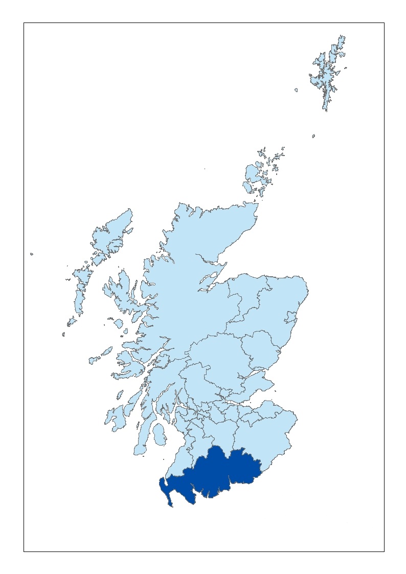
Dumfries and Galloway. ‘Contains Ordnance Survey data © Contains Ordnance Survey data © Crown and database right 2011’ (doa_image7503.jpg) |
JPG | 106 Kb |

|
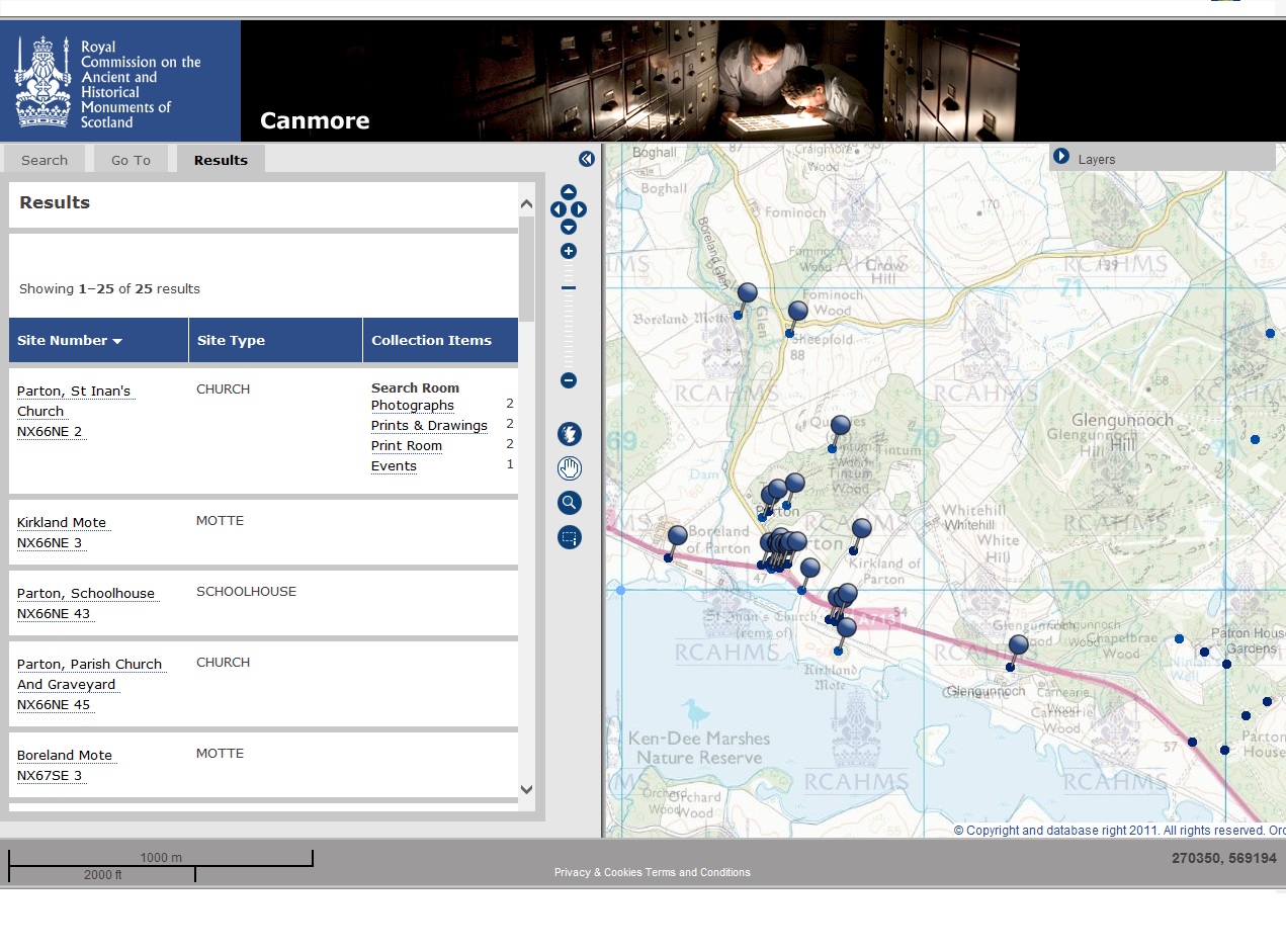
Canmore Mapping displaying sites in the area around Parton Village. ‘Contains Ordnance Survey data © Contains Ordnance Survey data © Crown and database right 2011’ (doa_image7506.jpg) |
JPG | 330 Kb |
 ‘Contains Ordnance Survey data © Contains Ordnance Survey data © Crown and database right 2011’ as a JPG image")
|
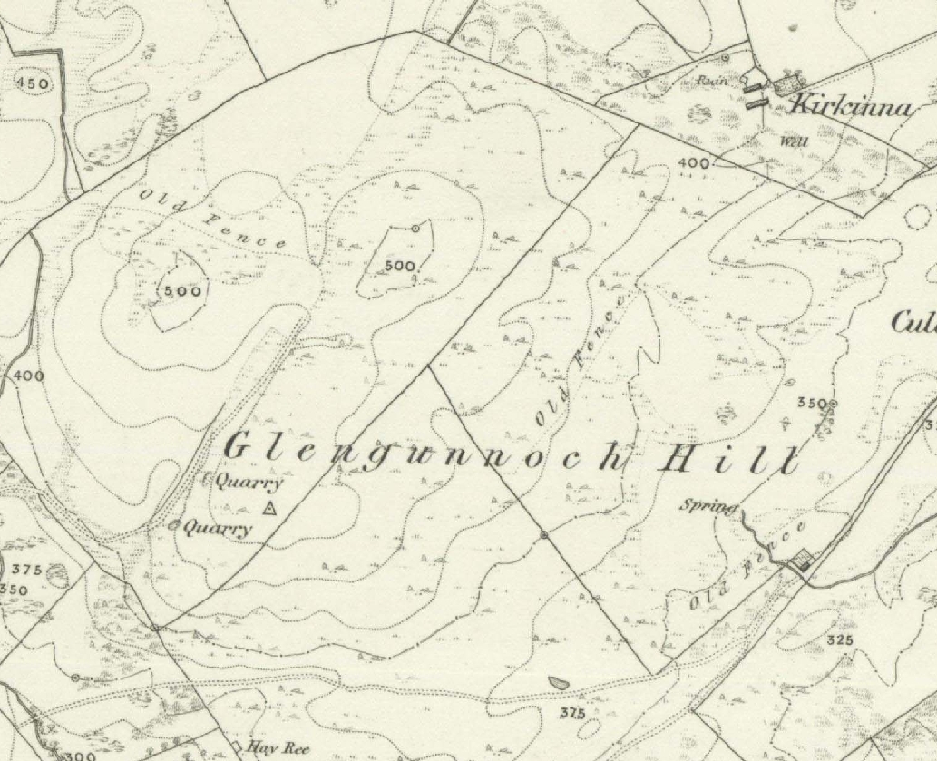
First Edition OS map (Kirkcudbright 1852, sheet 31) ‘Contains Ordnance Survey data © Contains Ordnance Survey data © Crown and database right 2011’ (doa_image7507.jpg) |
JPG | 570 Kb |
