England's Historic Seascapes: Southwold to Clacton
Oxford Archaeology (South), 2007. https://doi.org/10.5284/1000277. How to cite using this DOI
Data copyright © Historic England unless otherwise stated
This work is licensed under the ADS Terms of Use and Access.
Primary contact
Oxford Archaeology (South)
Janus House
Osney Mead
Oxford
OX2 0ES
UK
Tel: 01865 263800
Fax: 01865 793496
Resource identifiers
- ADS Collection: 746
- ALSF Project Number: 4729
- DOI:https://doi.org/10.5284/1000277
- How to cite using this DOI
England's Historic Seascapes:
Southwold to Clacton
ALSF Project Number 4729
Oxford Archaeology, 2007
Rough Shoals
Primary Subcharacter Type:
Caution area

Main Character / current form and use
The Rough Shoals area is predominantly a navigational hazard or feature, immediately to the south of the Harwich Deep Water channel. It comprises a series of sandbanks and rock formations, the largest of which is Rough Shoals. The remaining features are named Cork Sand, West Rocks, South East Spit, Cork Hole and Threshold. A number of these features are the product of beds of cemented volcanic ash within the London Clay. Cork Hole is part of the Stour palaeo-channel. The area also contains the 'Roughs Tower' (see link).
Depth varies considerably over the area from 2 m to 15 m. The tidal range in the character area is within the range of 3-4 m at Mean Spring Tide (DTI 2004). The geology is predominantly gravelly muddy sand with patches of gravel and gravelly mud.
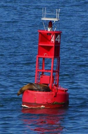
Due to its proximity to Harwich the area is subject to Harwich Haven regulations and traffic separation and is covered by Vessel Traffic Services (VTS). It is subject to cautionary status due to submarine cables and high speed craft. Part of the area falls within the Gunfleet military practice area (see Gunfleet Sands and Wallet character area). The area contains 13 dangerous wrecks and a number of light beacons and buoys are located in the area to aid navigation around the treacherous sandbanks. The character area is frequently transited by ferries and bulk and cargo carriers heading into Harwich and Felixstowe (Jones et al nd). A Royal Yacht Association (RYA) primary sailing route crosses through the centre of the area heading towards the Deben Estuary. Rough Shoals area is also a potential recreational dive site.
Historic Character and archaeological potential
The role of the character area as a navigational feature over a long period of time is illustrated by the number of wrecks located within it. In total 25 wrecks are known to have sunk in the area, many of which were mined during the first and second world wars and went down trying to reach shore. Two of the vessels belonged to the Royal Navy, HMS John E Lewis and HMS Marconi, the latter sank following a collision.
Other named vessels include the Lowland, Geraldus, Koningen Emma and Protinus. Many were known to be involved in coastal trading between London, East Anglia and the North indicating the Rough Shoals area was on the coastal trading route. As such the archaeological potential of the shipwreck archaeology in the area is high.
The area has potential to contain submerged prehistoric landscapes, features or artefacts, having been dry land prior to 8000 BP, particularly in view of the presence of Cork Hole, part of the Stour palaeochannel. In addition, West Rocks is cited as the probable location of the historic town of Walton, lost to erosion from the 14th century onwards(http://www.hometown.aol.co.uk).
HM Fort Roughs is also important for maritime and military heritage (see link).
Character perceptions
The character area is predominantly perceived as a navigational mark for both sailing boats and larger shipping. It had a collection of navigational features such as buoys and light beacons, in addition to the Maunsell fort and is often planned into sailing routes and races as a known position. The presence of HM Fort Roughs and its colourful history is part of the local consciousness and the future of the fort may change the character of the area considerably.
Bibliography
DTI, 2004, Mean Spring Tidal Range: Atlas of UK Marine Renewable Energy Resources. Department of Trade and Industry, 2004
Jones, L. A., Coyle, M. D., Evans, D., Gilliland, P.M., & Murray, A. R., Southern North Sea Marine Natural Area Profile: A contribution to regional planning and management of the seas around England. Peterborough: English Nature.
Bob Le-Roi. Available at: http://www.bobleroi.co.uk/Home/Home.html (07/03/2007)
Hometown. Available at: http://www.hometown.aol.co.uk/ (o6/03/2007)
Offshore Echoes. Available at: http://www.offshoreechos.com/ (07/03/2007)
Wikipedia. Available at: http://en.wikipedia.org/wiki/Main_Page (07/03/2007)


