
England's Historic Seascapes: Southwold to Clacton
Oxford Archaeology (South), 2007. https://doi.org/10.5284/1000277. How to cite using this DOI
Data copyright © Historic England unless otherwise stated
This work is licensed under the ADS Terms of Use and Access.


Primary contact
Oxford Archaeology (South)
Janus House
Osney Mead
Oxford
OX2 0ES
UK
Tel: 01865 263800
Fax: 01865 793496
Resource identifiers
- ADS Collection: 746
- ALSF Project Number: 4729
- DOI:https://doi.org/10.5284/1000277
- How to cite using this DOI
England's Historic Seascapes:
Southwold to Clacton
ALSF Project Number 4729
Oxford Archaeology, 2007
Stour Estuary
Manningtree and Mistley
The town of Manningtree, located on the southern bank of the Stour, almost at the head of the tides, was significant as a port from the early 13th century and received its market charter in 1238. At this time the town appears to have been deliberately planted as a port, presumably by the lord of the manor (Essex County Council nd). The port developed a successful local trade including shipping provisions to the fleet at Harwich, and fish to Colchester (ibid). Manningtree went on to become very prosperous in the 16th century, as evidenced by its surviving built environment. The Tudor port was known as Manytre and the majority of its wealth came from the cloth trade. Manningtree was also a major centre of the Essex malt trade in the 19th century. The current quay is probably 18th or 19th century in date, though the medieval quay may survive behind the current frontage (ibid). The port twice declined due to silting of the estuary. Today many Georgian facades in the town conceal a number of Tudor houses. Weavers cottages and coaching inns add to the character of the town.
The twin town of Mistley was a settlement trading in timber, fish and salt in 1070, it decayed in the 14th century due to the rise of Manningtree (Wren 1976). Mistley was re-developed as a potential port and spa town in the 1780s with a thriving coastal coal and corn trade.
The area is also famous for being the home of Matthew Hopkins, the notorious Witchfinder General in the 17th century. Hopkins began his career in 1644 by condemning a coven of witches in Manningtree and he was soon travelling across eastern England, claiming to have been commissioned by Parliament to discover and prosecute witches. Famously, Hopkins used a swimming test to see if the accused sank or swam. If they sank and drowned they were declared innocent, if they floated they were accused of witchcraft and hanged or burnt. He is buried in Mistley Heath.
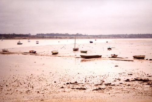
Caption: view of the Stour Estuary
Photo courtesy: Oxford Archaeology
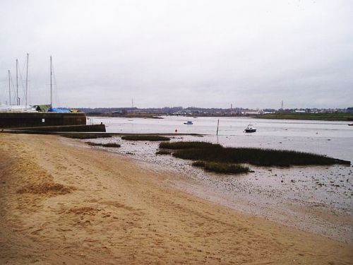
Caption: View across the Stour estuary from near Manningtree marina
Photo courtesy: Oxford Archaeology
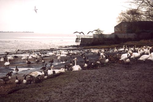
Caption: View of Stour estuary and swans to the west of Mistley Towers
Photo courtesy: Oxford Archaeology
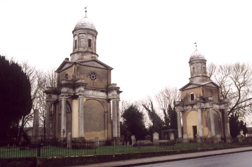
Caption: View of Mistley Towers
Photo courtesy: Oxford Archaeology
