
Home Front Legacy 1914-18
Claire Corkill, Chris Kolonko, 2020. https://doi.org/10.5284/1059297. How to cite using this DOI
Data copyright © Council for British Archaeology unless otherwise stated
This work is licensed under a Creative Commons Attribution 4.0 International License.

Primary contact
Council for British Archaeology
92 Micklegate
York
YO1 6JX
UK
Tel: 01904 671417
Resource identifiers
- ADS Collection: 3366
- DOI:https://doi.org/10.5284/1059297
- How to cite using this DOI

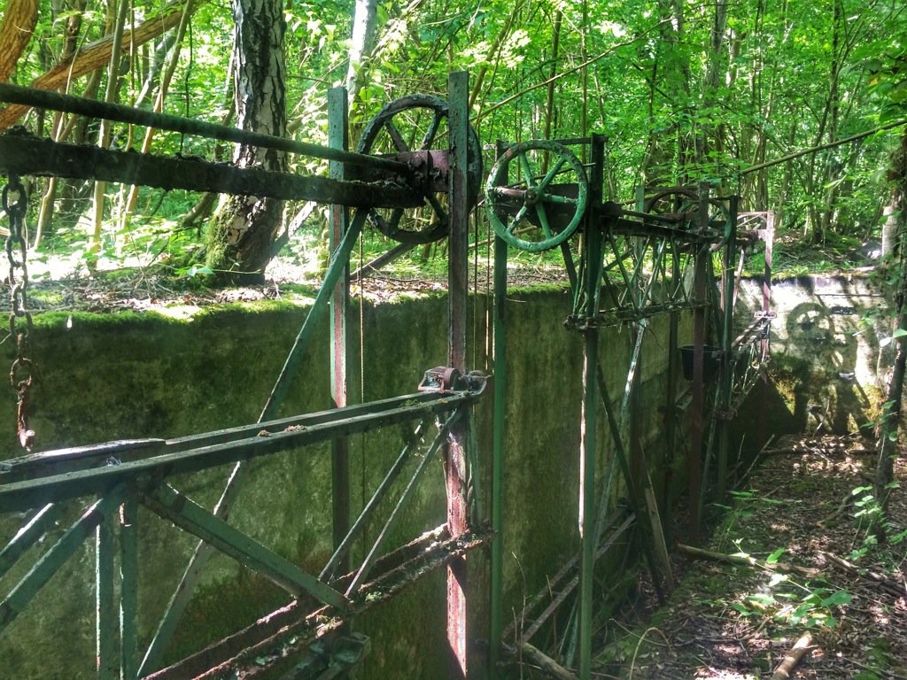
Full Record - Castle Hill Rifle Range (PRN: 10223)
| PRN | 10223 | ||||
|---|---|---|---|---|---|
| Site or location name | Castle Hill Rifle Range | ||||
| Summary | |||||
| Description | Range was constructed and initially used by cadets from Tonbridge School. During both World Wars it was used by Army regiments and volunteer defence for rifle practise . The A21 has been developed & widened but the range is well inside the wood hidden in undergrowth . No longer in use & on private land, | ||||
| Monument Type | RIFLE RANGE;RIFLE RANGE | ||||
| Desgination | None | ||||
| Material | |||||
| Location | |||||
| Country | ENGLAND | ||||
|---|---|---|---|---|---|
| County | Tonbridge | ||||
| Site Location | Castle Hill Rifle Range | ||||
| Postcode | |||||
| Map Reference | NGR: TQ6084444036 (560844, 144036) | ||||
| Condition/Threat | |||||
| Condition (Date) | Good (23-08-2017) | ||||
| Administration | |||||
| Recorded By (Date) | Pam Mills - Tonbridge WW1 (23-08-2017) | ||||
| Copiled On | 23-08-2017 | ||||
| Last Updated | 23-08-2017 | ||||
| Associated data |
|---|
Documentation
| Image metadata | CSV | 590 Kb |
Data
. as a JPG image")
|
Castle Hill rifle range was constructed and initially used by cadets from Tonbridge School (High Street, Tonbridge, Kent). (File name: 10223_1116.jpg) |
JPG | 337 Kb |
. as a JPG image")
|
Orders showing rifle practice at the castle hill range used by Tonbridge School (High Street, Tonbridge and Malling, Kent). (File name: 10223_1117.jpg) |
JPG | 744 Kb |
