
Inland Navigation in England and Wales before 1348: GIS Database
Eljas Oksanen, 2019. https://doi.org/10.5284/1057497. How to cite using this DOI
Data copyright © UCL Institute of Archaeology unless otherwise stated
This work is licensed under a Creative Commons Attribution 4.0 International License.

Primary contact
Eljas
Oksanen
UCL Institute of Archaeology
University College London
31-34 Gordon Square
London
WC1H 0PY
UK
Resource identifiers
- ADS Collection: 3427
- DOI:https://doi.org/10.5284/1057497
- How to cite using this DOI

Introduction
Inland Navigation in England and Wales before 1348: GIS Database maps the rivers and canals of medieval England and Wales that are known to have been navigated by various forms of water transport, bringing together evidence from documentary sources, the archaeological record and place-name information. It provides a digital resource for investigating the extent and character of medieval inland navigation on a national scale.
River and canal navigation was of fundamental importance to travel and transportation of goods during the Middle Ages. Research into Crown administrative records of the movement of bulk goods in the fourteenth century has shown that overland transport was on average twice as expensive as riverine transport. The advantages navigation offered had profound implications for economic and urban development. Nearly all large internationally important fairs in medieval England were located by a navigable river. In the early fourteenth century just one-fifth of English boroughs were located immediately by a known navigated river, but these accounted for over half of the assessed urban wealth in the 1334 lay subsidy.
Documentary and archaeological material have traditionally formed the evidential core for inland navigation; here, these are complemented and expanded by place-name evidence. Onomastic scholarship has demonstrated that historical place-names reflected the relationships and interactions that people had with their surrounding landscape, and a wide-ranging class of name-elements relate to the experience and physical reality of travel. By mapping medieval place-names relating to river traffic (such as hȳð and ēa-tūn, meaning ‘landing-place’ and ‘river-settlement’) the possible extent of navigable waterways is considerably enlarged beyond what other sources would allow. The ancient river courses have been recovered where possible from historical maps and administrative boundary and remote sensing data, such as LiDAR and satellite imagery.
This database combines two principles: it brings together all known direct evidence for inland navigation before the arrival of the Black Death in 1348 without favouring one type of source over another; and it does not rely, as the sole source for navigability, on secondary-level interpretation such as the possible relationship of the overland road network with shipping routes. Its aim is first and foremost to provide a baseline map and foundational dataset based on a critical assessment of primary sources on medieval navigation for the purposes of analysis and research.
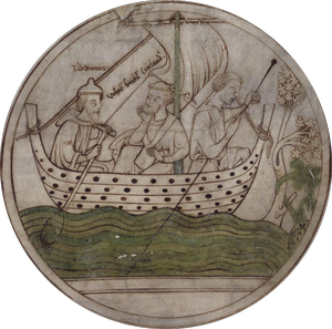
Guthlac Roundel © the British Library, reproduced with permission, please visit the British Library for more information.
