
Building the evidence base for Historic Farmsteads in Greater Lincolnshire
Jeremy Lake, Adam Partington, 2015. https://doi.org/10.5284/1035172. How to cite using this DOI
Data copyright © Historic England unless otherwise stated
This work is licensed under the ADS Terms of Use and Access.

Primary contact
Adam
Partington
Locus Consulting
Park Lane House
5 Park Lane
Donington
Lincolnshire
PE11 4UE
Resource identifiers
- ADS Collection: 2128
- DOI:https://doi.org/10.5284/1035172
- How to cite using this DOI

Downloads
Size
GIS
| GIS metadata | CSV | 43 Kb |
|
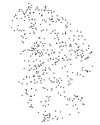
Map of traditonal farmsteads in Greater Lincolnshire under 100m in maximum width | ZIP | 39 Kb |
|
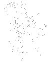
Map of traditonal farmsteads in Greater Lincolnshire over 100m in maximum width | ZIP | 13 Kb |
|
Map of traditonal farmsteads in Greater Lincolnshire under 25m in maximum width | ZIP | 107 Kb |
|
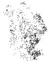
Map of traditonal farmsteads in Greater Lincolnshire under 50m in maximum width | ZIP | 454 Kb |
|
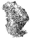
Map of traditonal farmsteads in Greater Lincolnshire under 75m in maximum width | ZIP | 175 Kb |
