
Building the evidence base for Historic Farmsteads in Greater Lincolnshire
Jeremy Lake, Adam Partington, 2015. https://doi.org/10.5284/1035172. How to cite using this DOI
Data copyright © Historic England unless otherwise stated
This work is licensed under the ADS Terms of Use and Access.

Primary contact
Adam
Partington
Locus Consulting
Park Lane House
5 Park Lane
Donington
Lincolnshire
PE11 4UE
Resource identifiers
- ADS Collection: 2128
- DOI:https://doi.org/10.5284/1035172
- How to cite using this DOI

Downloads
Survival
GIS
| GIS metadata | CSV | 43 Kb |

|
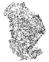
Map of traditonal farmsteads in Greater Lincolnshire showing significant Loss – more than 50% alteration | ZIP | 155 Kb |
|
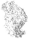
Map of traditonal farmsteads in Greater Lincolnshire showing partial Loss – less than 50% change | ZIP | 264 Kb |
|
Map of traditonal farmsteads in Greater Lincolnshire showing total Change – Farmstead survives but complete alteration to plan | ZIP | 110 Kb |
|
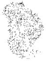
Map of traditonal farmsteads in Greater Lincolnshire showing extant – no apparent alteration | ZIP | 84 Kb |
|
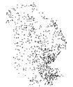
Map of traditonal farmsteads in Greater Lincolnshire showing farmhouse only survives | ZIP | 77 Kb |
|
Map of traditonal farmsteads in Greater Lincolnshire showing farmstead/outfarm totally demolished | ZIP | 131 Kb |
