
Archaeological Cropmark Landscapes of the Magnesian Limestone
Ian Roberts, David Berg, Alison Deegan, 2010. https://doi.org/10.5284/1000131. How to cite using this DOI
Data copyright © Archaeological Services WYAS unless otherwise stated
This work is licensed under the ADS Terms of Use and Access.


Primary contact
Ian
Roberts
Principal Archaeologist
Archaeological Services WYAS
Nepshaw Lane South
Morley
Leeds
LS27 7JQ
UK
Tel: 0113 3939740
Resource identifiers
- ADS Collection: 998
- ALSF Project Number: 3860
- DOI:https://doi.org/10.5284/1000131
- How to cite using this DOI

Introduction
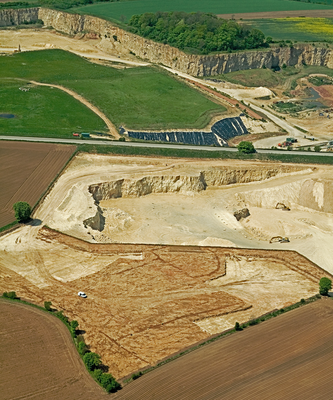
Archaeologists have, for the last 30 years, been recording the rural archaeology of the Magnesian Limestone belt and adjacent areas in South, West and North Yorkshire. This has occurred in a rather piecemeal way. Initially this was carried out through the air reconnaissance of cropmarks, but more lately through a combination of air photo interpretation and mapping, geophysical survey and excavation, mainly as a consequence of extensive aggregates extraction. Recent archaeological work has begun to reveal patterns and ask questions of the evidence, but these can never be answered on a site-by-site basis and require a more global synthesis to which this project aimed to contribute.
This project was been devised to synthesise these various forms of available mapped archaeological evidence and its relationship to past, present and future aggregates extraction sites. The main focus of the project was the Magnesian Limestone belt but, in addition, looked to establish any similarities or contrasts in the archaeology of the adjacent sands and gravels. As well as detailing the impact that the aggregates industry has had upon the archaeology of the Magnesian Limestone belt and its margins, the project aimed to redefine baseline knowledge and so enable future aggregate extraction to be mitigated more appropriately within a considered archaeological research framework, towards informing future reviews of Minerals Local Plans and Unitary Development Plans.
