
Data from an Archaeological Recording at Aylesbury Golf Course, Buckinghamshire, 2021-2022 (HS2 Phase One)
High Speed Two Ltd., INFRA Archaeology, 2023. https://doi.org/10.5284/1119728. How to cite using this DOI
Data copyright © High Speed Two Ltd. unless otherwise stated
This work is licensed under a The Open Government Licence (OGL).

Primary contact
High Speed Two Ltd.
2 Snowhill
Queensway
Birmingham
B4 6GA
United Kingdom
Tel: 08081 434 434
Resource identifiers
- ADS Collection: 5045
- DOI:https://doi.org/10.5284/1119728
- How to cite using this DOI

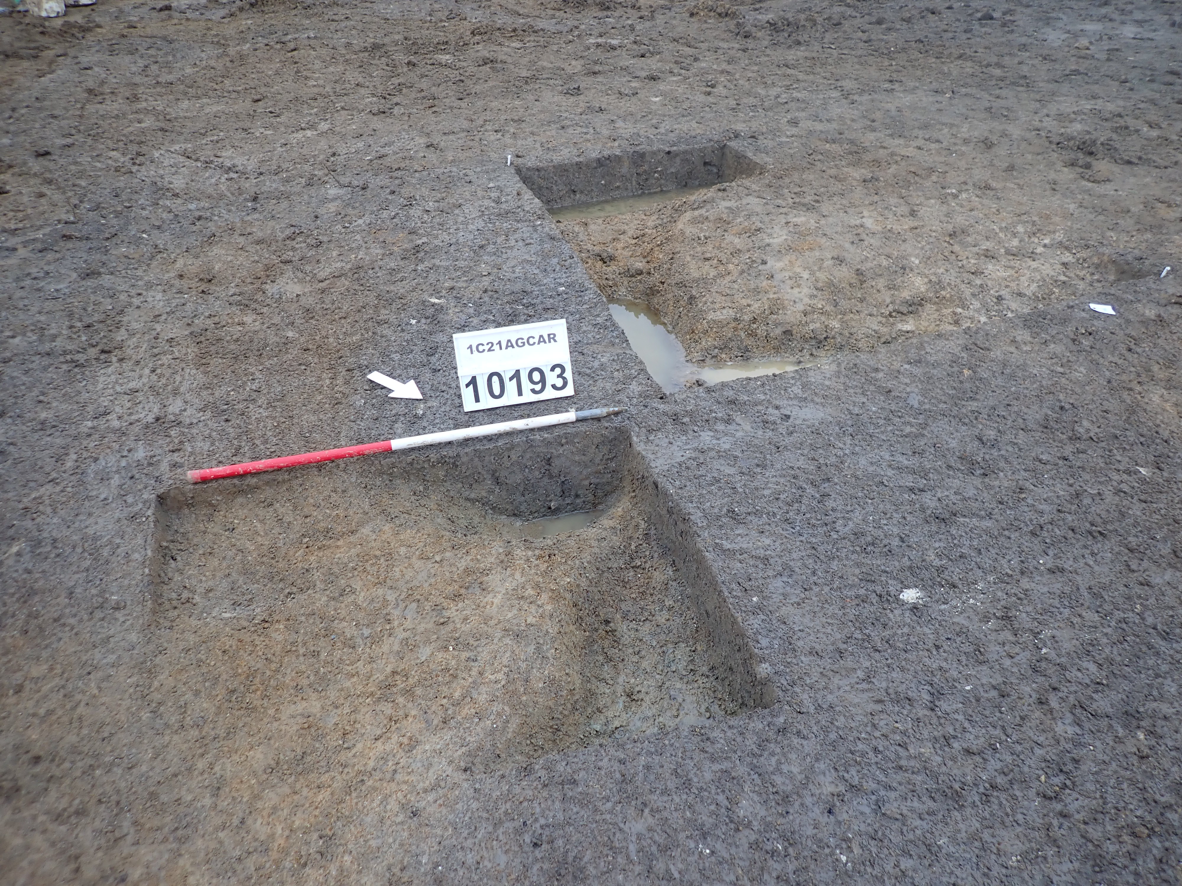
| Object ID | 2242504 | |
|---|---|---|
| Object Title | PB120505 oblique showing relationship [210193], [210195] and [210191] | |
| File name | 1C21AGCAR_PB120505.jpg | |
|---|---|---|
| Format | JPG | |
| Format Type | JPEG File Interchange Format | 1.01 |
| Checksum | 92bc0e4d1d185f8375286b0bc04bd194 | |
| Created | 12-Nov-2021 | |
| Last Modified | 17-Oct-2022 | |
| File size | 3 Mb | |
| Download | ||
| Data Type | Image | |
|---|---|---|
| Title | PB120505 oblique showing relationship [210193], [210195] and [210191] | |
| Creator | INFRA archaeology | |
| Copyright | © HS2 Ltd | |
| Location | LOCATION | Land Parcel C23038 |
| LOCATION | England | |
| LOCATION | Buckingham | |
| LOCATION | Aylesbury Golf Course | |
| Coordinates | Latitude Longitude | 51.810863 -0.84243625 |
| Subject | MONUMENT/OBJECT | ditch |
| MONUMENT/OBJECT | terminus | |
| MONUMENT/OBJECT | pit | |
| Period | MIDAS | Medieval |
| Dates (BCE/CE) | 410 to 1540 | |
