The Sutton Hoo Research Project 1983-2001

Martin Carver, 2004. https://doi.org/10.5284/1000266. How to cite using this DOI

Digital Object Identifiers

Digital Object Identifiers (DOIs) are persistent identifiers which can be used to consistently and accurately reference digital objects and/or content. The DOIs provide a way for the ADS resources to be cited in a similar fashion to traditional scholarly materials. More information on DOIs at the ADS can be found on our help page.

Citing this DOI

The updated Crossref DOI Display guidelines recommend that DOIs should be displayed in the following format:

https://doi.org/10.5284/1000266
Sample Citation for this DOI

Martin Carver (2004) The Sutton Hoo Research Project 1983-2001 [data-set]. York: Archaeology Data Service [distributor] https://doi.org/10.5284/1000266

Data copyright © Prof Martin Carver unless otherwise stated

This work is licensed under the ADS Terms of Use and Access.
Creative Commons License


University of York logo

Primary contact

Prof Martin Carver
Department of Archaeology
University of York
King's Manor
Exhibition Square
York
YO1 7EP
England

Send e-mail enquiry

Resource identifiers

Digital Object Identifiers

Digital Object Identifiers (DOIs) are persistent identifiers which can be used to consistently and accurately reference digital objects and/or content. The DOIs provide a way for the ADS resources to be cited in a similar fashion to traditional scholarly materials. More information on DOIs at the ADS can be found on our help page.

Citing this DOI

The updated Crossref DOI Display guidelines recommend that DOIs should be displayed in the following format:

https://doi.org/10.5284/1000266
Sample Citation for this DOI

Martin Carver (2004) The Sutton Hoo Research Project 1983-2001 [data-set]. York: Archaeology Data Service [distributor] https://doi.org/10.5284/1000266

Downloads


Gallery : Survey

Scott Polar Institute�s Soil Sounding Radar, with Mike Gorman, 1985
Scott Polar Institute's Soil Sounding Radar, with Mike Gorman, 1985.
Radar survey of Mound 2 by Oceanfix, 1987
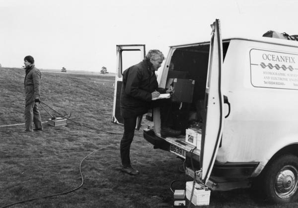
Radar survey of Mound 2 by Oceanfix, 1987.
Test excavation of an anti-glider ditch, showing damage by bracken roots.
Evaluation survey: Test excavation of an anti-glider ditch, showing damage by bracken roots.
Evaluation survey: surface illuminated at night to show slight differences in height. Looking west.
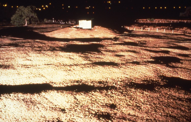
Evaluation survey: Surface illuminated at night to show slight differences in height. Looking west.
Evaluation survey: The mown surface of the burial groundshowing Mound 17 and 18 (beside scales).
Evaluation survey: The mown surface of the burial ground showing Mound 17 and 18 (beside scales).
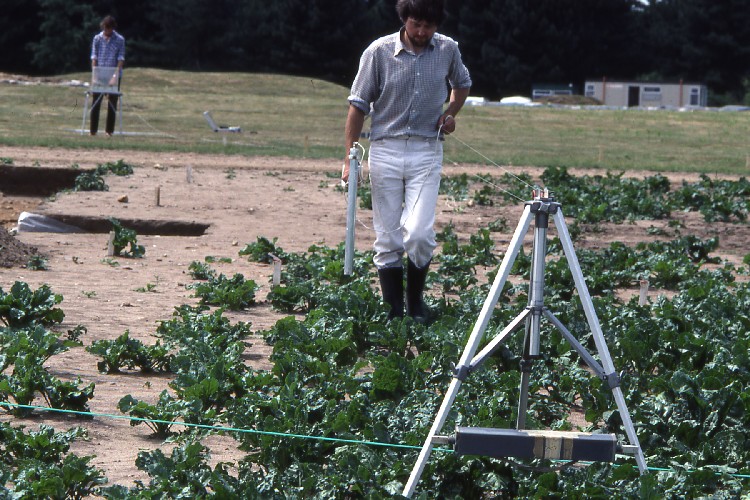
Evaluation survey: Fluxgate gradiometry survey by A Bartlett.
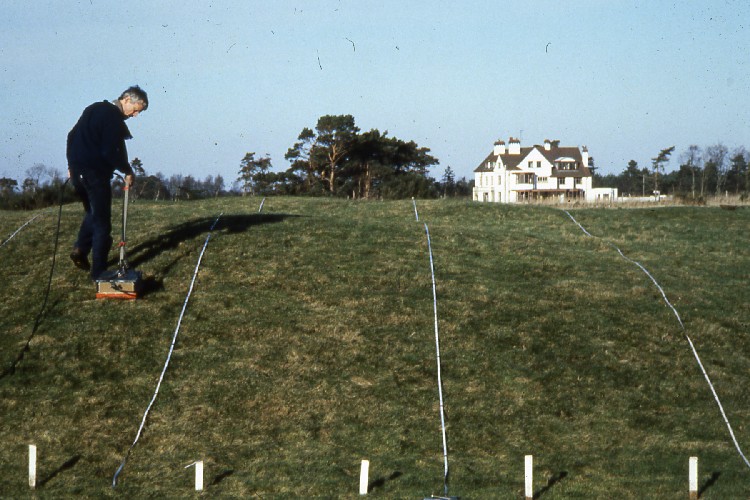
Evaluation survey: Soil Sounding Radar in operation on Mound 7 by Messrs Oceanfix.
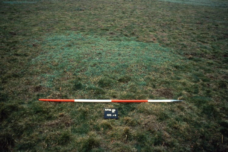
Evaluation survey: The mown surface, showing vegetational features.

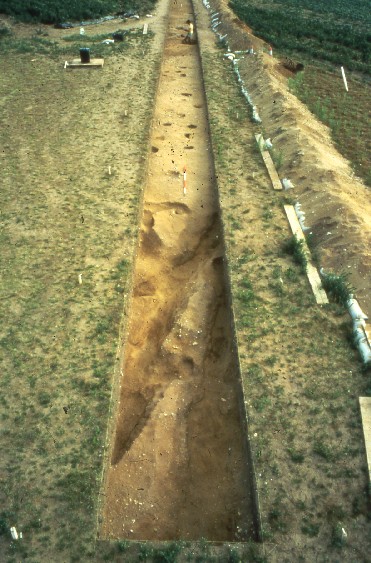
Evaluation survey: Test transect (Int 22) running south.
 

ADS logo
Data Org logo
University of York logo