
Archaeological Survey of Mineral Extraction Sites around the Thames Estuary
Essex County Council, Kent County Council, 2007. (updated 2011) https://doi.org/10.5284/1000016. How to cite using this DOI
Data copyright © Essex County Council, Kent County Council unless otherwise stated
This work is licensed under the ADS Terms of Use and Access.


Primary contact
Ellen
Heppell
Project Officer
Essex County Council Field Archaeology Unit
Fairfield Court
Fairfield Road
Braintree
CM7 3YQ
Tel: 01376 331431
Resource identifiers
- ADS Collection: 774
- ALSF Project Number: 3374
- DOI:https://doi.org/10.5284/1000016
- How to cite using this DOI


Introduction
The 'Archaeological Survey of Mineral Extraction Sites around the Thames Estuary' project was undertaken by Essex and Kent County Councils, Dr Francis Wenban-Smith and Dr Peter Allen, and funded through the Aggregates Levy Sustainability Fund as disbursed by English Heritage.
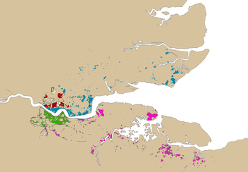
The first phase of the project took place in 2003 - 2004 to establish up to date information on the historic environment in extant and former mineral extraction sites on both sides of the Thames estuary in Kent and Essex, around the Thurrock / Dartford / Gravesend area. The study was focussed particularly on Pleistocene Geology / Palaeolithic Archaeology and Industrial Archaeology. These studies include consideration of the known resource, potential of the extraction sites and their immediate environs and the significance of the resource. The outputs of this Phase I Study comprised a series of GIS layers containing information on the specialist studies and assessment report.
Phase II of the project focussed on dissemination of these results - through the preparation of a summary guide (including data catalogue) and collation of the archive.
