Re-posted from Day of Archaeology
Two years after posting about my work on the Silbury Hill digital archive, in ‘AN ADS DAY OF ARCHAEOLOGY’, and I’m still busy working as a Digital Archivist with the ADS!
For the past few months, I have been working on the Ipswich Backlog Excavation Archive, deposited by Suffolk County Council, which covers 34 sites, excavated between 1974 and 1990.
To give a quick summary of the work so far, the data first needed to be accessioned into our systems which involved all of the usual checks for viruses, removing spaces from file names, sorting the data into 34 separate collections and sifting out duplicates etc. The archive packages were then created which involved migrating the files to their preservation and dissemination formats and creating file-level metadata using DROID. The different representations of the files were linked together using object ids in our database and all of the archiving processes were documented before the coverage and location metadata were added to the individual site collections.
Though time consuming, due to the quantity of data, this process was fairly simple as most of the file names were created consistently and contained the site code. Those that didn’t have descriptive file names could be found in the site database and sorted according to the information there.
The next job was to create the interfaces; again, this was fairly simple for the individual sites as they were made using a template which retrieves the relevant information from our database allowing the pages to be consistent and easily updateable.
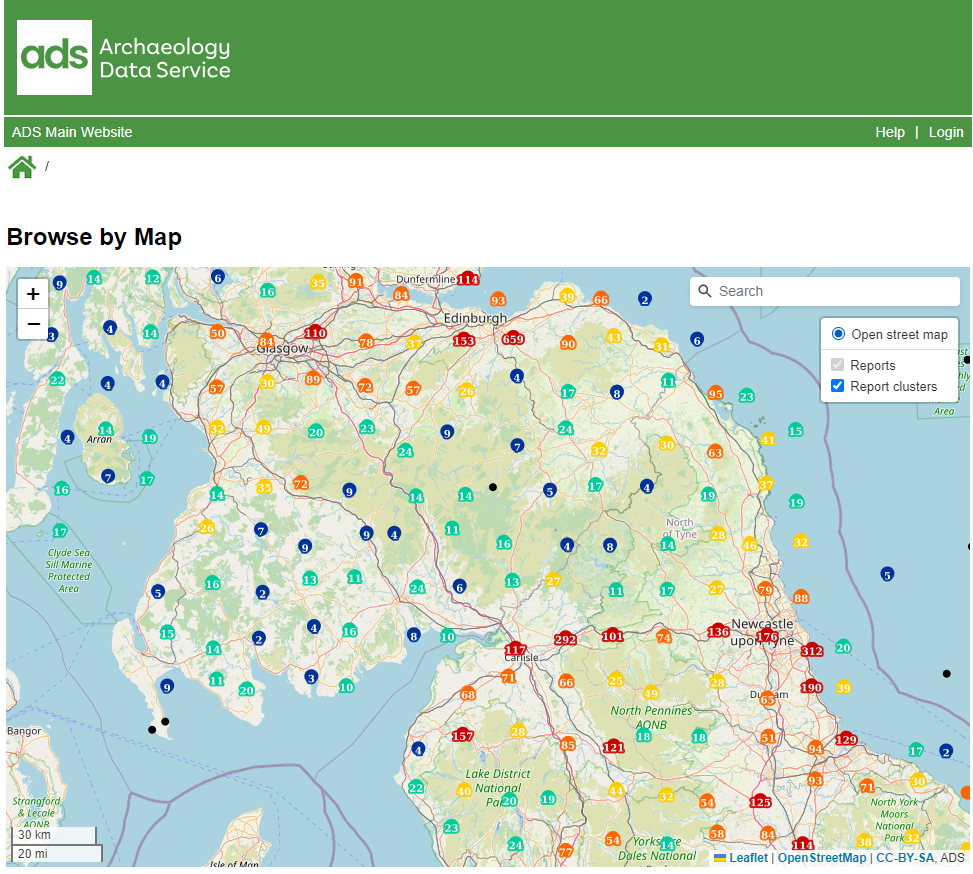
The Ipswich Backlog Excavation Archive called for a more innovative approach, however, in order to allow the users greater flexibility with regards to searching, so the depositors requested a map interface as well as a way to query information from their core database. The map interface was the most complex part of the process and involved a steep learning curve for me as it involved applications, software and code that I had not previously used such as JavaScript, OpenLayers, GeoServer and QGIS. The resulting map allows the user to view the features excavated on the 34 sites and retrieve information such as feature type and period as well as linking through to the project archive for that site.
So, as to what I’m up to today…
The next, and final step, is to create the page that queries the database. For the past couple of weeks I have been sorting the data from the core database into a form that will fit into the ADS object tables, cleaning and consolidating period, monument and subject terms and, where possible, matching them to recognised thesauri such as the English Heritage Monument Type Thesaurus.
Today will be a continuation of that process and hopefully, by the end of the day, all of the information required by the query pages will be added to our database tables so that I can begin to build that part of the interface next week. If all goes to plan, the user should be able to view specific files based on searches by period, monument/feature type, find type, context, site location etc. with more specialist information, such as pottery identification, being available directly from the core database tables which will be available for download in their entirety. Fingers crossed that it does all go to plan!
So, that’s my Day of Archaeology 2015, keep a look out for ADS announcements regarding the release of the Ipswich Backlog Excavation Archive sometime over the next few weeks and check out the posts from my ADS colleagues Jo Gilham and Georgie Field!
UPDATE: Ipswich Excavation Archive has now been released! All sites can be explored here!

Great efforts to document an interesting town – providing mapping and an easily updatable database is key to making information extraction and analysis simple and quick. Also as a digital archaeologist (which grew up in Ipswich), I would like to echo the difficulty with grasping skills such as Jacascript, JavaScript, OpenLayers, GeoServer and QGIS for Web mapping Services. This is perhaps an area future archaeologists should attempt to learn as part of any GIS training? Although perhaps this should not be the duty of an archaeologist, ratehr collaborating with coding experts and computer scientists, which is the approach I cam currently taking o na similar project?
Also I think its great you are ustilizing open source software – staying clear of products from companies such as ESRI’s ArcGIS, these services can be provided by smaller companies that cannot incorporate the hefty price plans that come along with. It may not have the aesthetics or quite the same abilities of the leading softwares, but can provide good robust mapping services which get the job done.
Will be interested to see final product.