
|
Site Data from an Archaeological Evaluation at Harvington Hall, Chaddesley Corbett, Worcestershire, January 2022.
 Released: 21 August 2024
Collection doi: 10.5284/1122093
|

|
Site Data from an Archaeological Watching Brief at Spetchley Hall, Worcestershire, June to September 2020.
 Released: 30 September 2024
Collection doi: 10.5284/1122722
|

|
Images from Historic Building Survey Work at The Commandery, Red Hill, Worcestershire, September 2022.
 Released: 09 May 2024
Collection doi: 10.5284/1118810
|
|
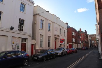
Images from an Analytical Buildings Record (Level 3) at International House, Worcester, Worcestershire 2022.
 Released: 19 October 2023
Collection doi: 10.5284/1113253
|
|
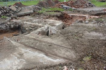
Images and GIS Data from Archaeological Works at Severn Road, Stourport-on-Severn, Worcestershire 2022.
 Released: 06 March 2023
Collection doi: 10.5284/1103323
|
|
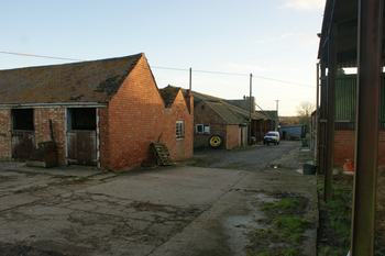
Images from Building Recording Survey at Haselor Farm, Haselor Lane, Charlton, Worcestershire, January 2016.
 Released: 09 February 2023
Collection doi: 10.5284/1103168
|
|
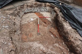
Digital Data from an Archaeological Evaluation at the Former Swimming Pool, Sansome Walk, Worcester, 2020.
 Released: 24 January 2023
Collection doi: 10.5284/1102099
|
|
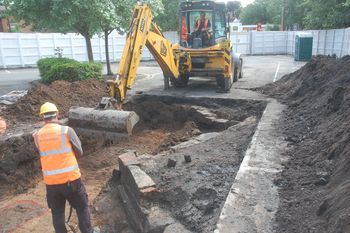
Digital Photographs and Data from Archaeological investigations at The Market Hall Site, St John Street, Bromsgrove, 2016.
 Released: 27 January 2023
Collection doi: 10.5284/1102109
|
|
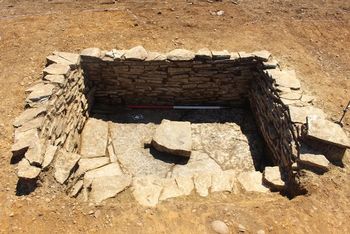
Digital Photographs and Images from an Archaeological Excavation at the Biomass Shed site, Laurels Road, Offenham, Worcestershire, 2018.
 Released: 27 January 2023
Collection doi: 10.5284/1102112
|
|
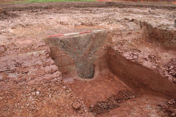
Digital Data from Archaeological Investigations West of Dines Green, Worcester, Worcestershire, 2020.
 Released: 10 February 2023
Collection doi: 10.5284/1103185
|
|
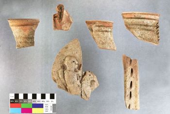
Site and Post-Excavation Data from an Archaeological Evaluation and Excavation at Temple Laugherne Phase 1, West of Worcester, Worcestershire, 2020-2022.
 Released: 14 October 2022
Collection doi: 10.5284/1100560
|
|
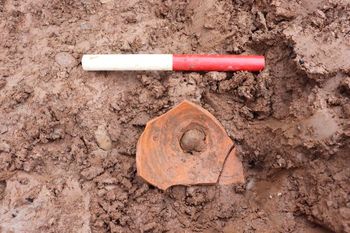
Digital Data from an Archaeological Evaluation on Land West of Worcester, 2020.
 Released: 02 February 2023
Collection doi: 10.5284/1102150
|
|
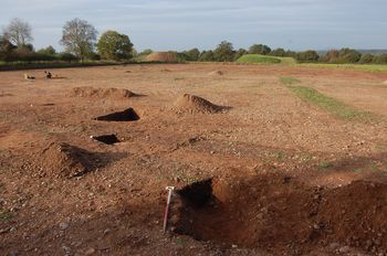
Digital Data from an Archaeological Excavation at Copcut Lane, Droitwich July to November 2014.
 Released: 17 November 2022
Collection doi: 10.5284/1100768
|
|
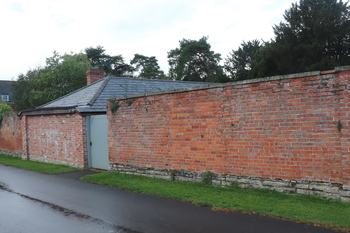
Images from an Archaeological Watching Brief and Historic Building Survey at The Bothy, Croome, Worcestershire 2020.
 Released: 23 March 2022
Collection doi: 10.5284/1090614
|
|
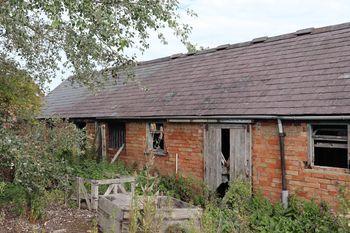
Images from Historic Building Recording at Long Barn, Ashmore Farm, Norton, Evesham, Worcestershire July 2020.
 Released: 11 April 2022
Collection doi: 10.5284/1091402
|
|
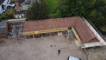
Images from Historic Building Recording at Papermill Barn, Brooklands Lane, Redditch, Worcestershire October 2021.
 Released: 13 April 2022
Collection doi: 10.5284/1091409
|
|
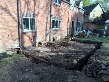
Images from an Archaeological Watching Brief at Oak House, Martin Hussingtree 2021.
 Released: 13 April 2022
Collection doi: 10.5284/1091414
|
|
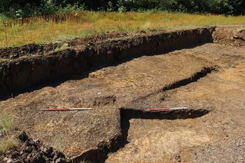
Site Data from an Excavation at Conference Way, Vale Park, Evesham, Worcestershire 2021.
 Released: 12 May 2022
Collection doi: 10.5284/1092298
|
|
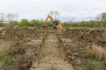
Site Data from an Archaeological Evaluation at Conference Way, Vale Park, Evesham May 2021.
 Released: 14 April 2022
Collection doi: 10.5284/1091417
|
|
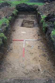
Images and GIS data from an Archaeological Evaluation at The Old Mill, The Cross, Childswickham, Worcestershire 2019.
 Released: 14 February 2022
Collection doi: 10.5284/1090472
|
|
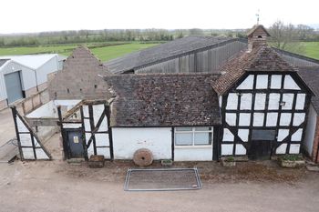
Images from a Building Recording at Naunton House Farm, Naunton Beauchamp, Pershore, Worcestershire 2021.
 Released: 19 October 2021
Collection doi: 10.5284/1088146
|
|
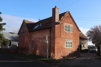
Images from Historic Building Recording at The Old Barn, Crowle, Worcestershire 2021.
 Released: 25 October 2021
Collection doi: 10.5284/1088148
|
|
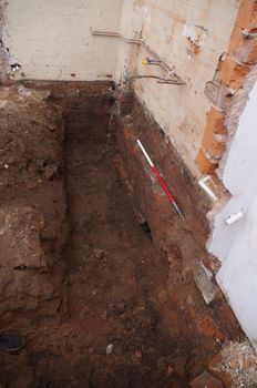
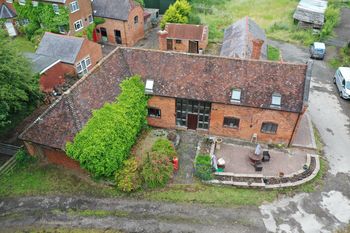
Images from an Archaeological Watching Brief at 14 Britannia Square, Barbourne, Worcester June 2021.
 Released: 08 November 2021
Collection doi: 10.5284/1090345
|
|
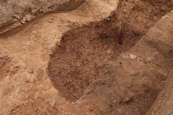
Images from a Building Recording at Barn House Farm, Foxlydiate Lane, Redditch 2021.
 Released: 19 October 2021
Collection doi: 10.5284/1088145
|
|
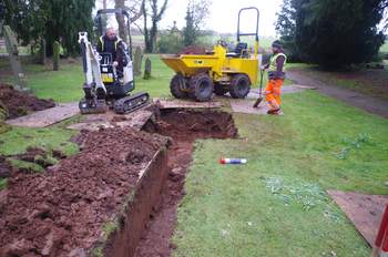
Images from an Archaeological Watching Brief at the Church of St Thomas of Canterbury with St Peter and St Paul, Birtsmorton 2019.
 Released: 15 April 2021
Collection doi: 10.5284/1084973
|
|
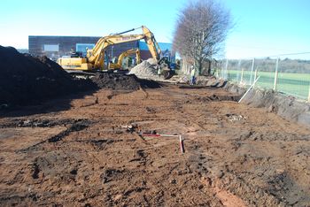
Images from an archaeological evaluation of Land off Dunley Road, Stourport on Severn, Worcestershire 2021.
 Released: 18 March 2021
Collection doi: 10.5284/1084809
|
|
Evesham Fire Station, Worcestershire: Site visit report (OASIS ID: Fieldsec1-243139; fieldsec1-401937).
 Released: 12 January 2021
Collection doi: 10.5284/1083518
|
|
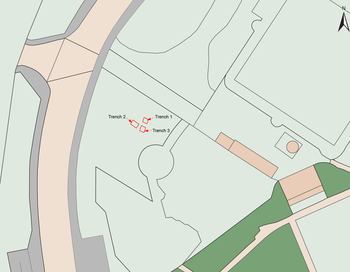
Russell Pipe Manufactory, Cripplegate, Worcester. (OASIS ID: rogermoo1-395532).
Released: 06 November 2020
Collection doi: 10.5284/1083480
|
|
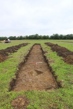
Archaeological evaluation at Land off Pershore Road, Eckington, Worcestershire (OASIS ID: cotswold2-370822).
 Released: 09 December 2019
Collection doi: 10.5284/1057529
|
|
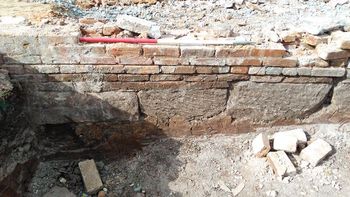
Archaeological Watching Brief at Events House, Hindlip Lane, Worcester (OASIS ID: cotswold2-308248).
 Released: 09 December 2019
Collection doi: 10.5284/1057527
|
|
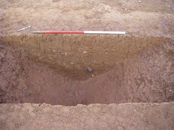
Programme of Archaeological Work at Land off Crookbarrow Road (OASIS ID: cotswold2-281349).
 Released: 09 December 2019
Collection doi: 10.5284/1057531
|
|
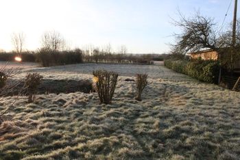
Land off Chestnut Close, Lower Moor, Worcestershire Archaeological Evaluation (OASIS ID: cotswold2-370868).
 Released: 09 December 2019
Collection doi: 10.5284/1057530
|
|
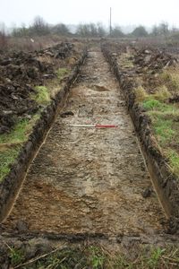
Land at Evesham Road, Nr Fladbury, Worcestershire. Archaeological Evaluation (OASIS ID: headland3-236268).
 Released: 18 March 2019
Collection doi: 10.5284/1050912
|
|
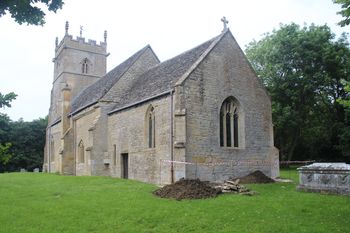
St Mary's Church, Aston Somerville, Worcestershire. Archaeological Evaluation (OASIS ID: urbanarc1-312934).
 Released: 01 August 2018
Collection doi: 10.5284/1048385
|
|
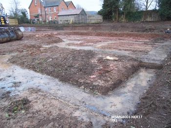
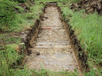
Homestead, Halfkey Road, Malvern, Worcestershire. Archaeological Watching Brief (OASIS ID: borderar1-298636).
 Released: 14 August 2018
Collection doi: 10.5284/1048812
|
|
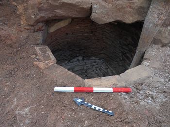
Land off Cheltenham Road, Evesham, Worcestershire (OASIS ID: cotswold2-315944).
 Released: 18 May 2018
Collection doi: 10.5284/1047581
|
|
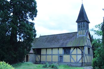
Hindlip Hall, The Drive, Hindlip, Worcester (OASIS ID: cotswold2-270753).
 Released: 18 May 2018
Collection doi: 10.5284/1047578
|
|
Barn at Church Farm, Besford, Worcestershire. Historic Building Recording (OASIS ID: cotswold2-292825).
 Released: 30 April 2018
Collection doi: 10.5284/1047220
|

|
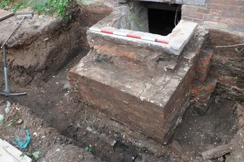
Hanbury Hall, School Road, Hanbury, Droitwich Spa, Worcestershire. Archaeological Observation. (OASIS ID: borderar1-284273).
 Released: 18 April 2018
Collection doi: 10.5284/1047214
|
|
No. 9 New Street, Worcester. Archaeological Watching Brief (OASIS ID: borderar1-254986).
 Released: 23 February 2018
Collection doi: 10.5284/1046748
|
|
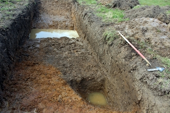
Land at Oak Lane, Bredon, Worcestershire. Archaeological Evaluation (OASIS ID: cotswold2-257167)..
 Released: 16 February 2018
Collection doi: 10.5284/1046742
|
|
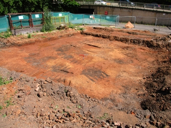
Cavalier Tavern, St Georges Lane, Worcester, Worcestershire. Archaeological Excavation. (OASIS ID: cotswold2-282185).
 Released: 07 February 2018
Collection doi: 10.5284/1046310
|
|
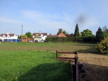
Land adjacent to 17 Stratford Road, Honeybourne, Worcestershire: Archaeological Evaluation (OASIS ID: cotswold2-301689).
 Released: 11 December 2017
Collection doi: 10.5284/1045791
|
|
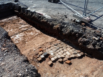
Cavalier Tavern, 107 St Georges Lane North, Worcester, Worcestershire. Archaeological Evaluation. (OASIS ID: cotswold2-281273).
 Released: 11 December 2017
Collection doi: 10.5284/1045793
|
|
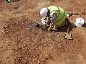
Land to the rear of 18 Russell Close, Powick, Worcestershire. Archaeological Excavation.
 Released: 05 October 2017
Collection doi: 10.5284/1044407
|
|
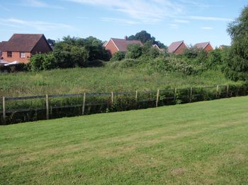
Land off Hospital Lane, Powick, Worcestershire. Archaeological Evaluation (OASIS ID: cotswold2-258479).
 Released: 15 September 2017
Collection doi: 10.5284/1043782
|
|
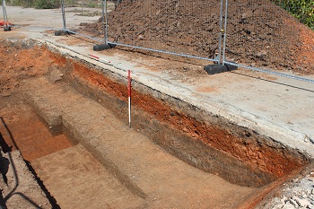
Land North of Vines Lane, Droitwich, Worcestershire. Archaeological Evaluation (OASIS ID: cotswold2-262206).
 Released: 14 September 2017
Collection doi: 10.5284/1043778
|
|
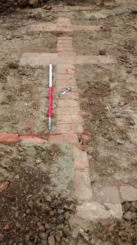
Staddlestones, Station Road, Broadway, Worcertershire. Archaeological Watching Brief (OASIS ID: cotswold2-262068).
 Released: 15 September 2017
Collection doi: 10.5284/1043781
|
|
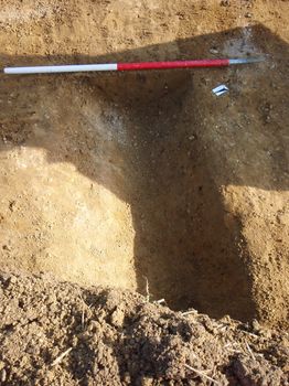
Land West of Cheltenham Road, Evesham, Worcestershire. Archaeological Evaluation (OASIS ID: cotswold2-228090).
 Released: 14 September 2017
Collection doi: 10.5284/1043779
|
|
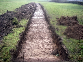
Fernhill Heath, Worcestershire. Archaeological Evaluation (OASIS ID: wessexar1-172799).
 Released: 01 December 2016
Collection doi: 10.5284/1040790
|
|
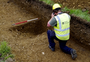
School Lane, Overbury, Worcestershire. Archaeological Evaluation (OASIS ID: wessexar1-215089).
 Released: 01 December 2016
Collection doi: 10.5284/1040791
|
|
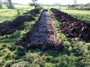
Vernon Arms, Saltway, Hanbury, Worcestershire. Archaeological Evaluation (OASIS ID: wessexar1-173460).
 Released: 01 December 2016
Collection doi: 10.5284/1040792
|
|
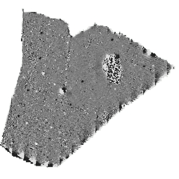
Brockhill East Geophysical Survey, Redditch, Worcestershire (OASIS ID: wardella2-246553).
 Released: 12 December 2016
Collection doi: 10.5284/1040793
|
|
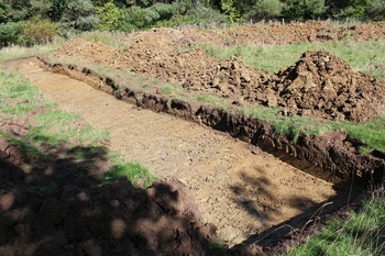
Land off Kingsdale Court, Broadway, Worcestershire. Archaeological Evaluation (OASIS ID: cotswold2-260472).
 Released: 25 October 2016
Collection doi: 10.5284/1039957
|
|
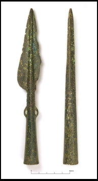
Land off Cheltenham Road, Evesham, Worcestershire Phase 1 and 2 (OASIS ID: cotswold2-261088).
 Released: 25 October 2016
Collection doi: 10.5284/1039958
|
|
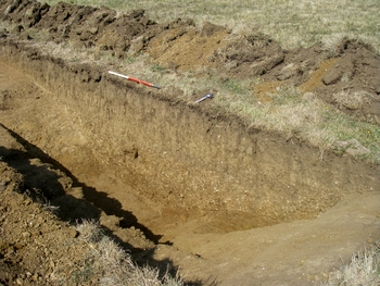
Averill Close, Broadway, Worcestershire. Archaeological Evaluation (OASIS ID: cotswold2-261086).
 Released: 07 October 2016
Collection doi: 10.5284/1039942
|
|
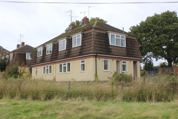
Pickersleigh Grove, Great Malvern, Worcestershire. Archaeological Evaluation and Building Recording Survey (OASIS ID: cotswold2-261523).
 Released: 25 October 2016
Collection doi: 10.5284/1039953
|

|
Old Pike House, Eckington, Worcestershire (OASIS ID: headland3-212378).
 Released: 25 July 2016
Collection doi: 10.5284/1038989
|

|
Copcut Lane, Droitwich, Worcestershire: Archaeological Evaluation (OASIS ID: headland3-166474).
 Released: 25 July 2016
Collection doi: 10.5284/1038988
|
|
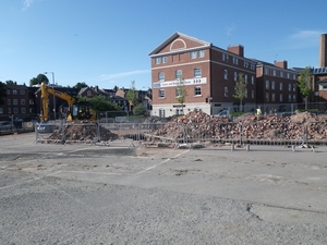
Severn Street, Worcester, Worcestershire (OASIS IDs: wessexar1-181106 and wessexar1-220878).
 Released: 24 March 2016
Collection doi: 10.5284/1037313
|
|
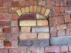
The Gas Works, Powick, Worcestershire. Historic Building Recording (OASIS ID: headland3-241886).
 Released: 24 March 2016
Collection doi: 10.5284/1037312
|
|
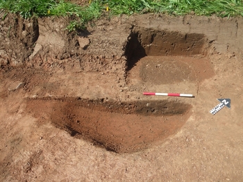
Land North of Worcester Road, Great Witley, Archaeological Excavation (OASIS ID: cotswold2-185533).
 Released: 04 September 2015
Collection doi: 10.5284/1034379
|
|
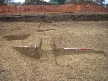
Land at Church Road, Crowle, Worcestershire (OASIS ID: cotswold2-218049).
 Released: 25 September 2015
Collection doi: 10.5284/1034397
|
|
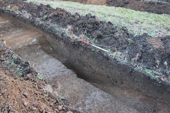
Land near Jangada, Bretforton, Worcestershire.
 Released: 24 September 2015
Collection doi: 10.5284/1034394
|
|
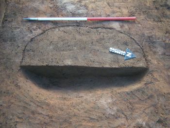
Land at Kidderminster Road, Hagley, Worcestershire.
 Released: 24 September 2015
Collection doi: 10.5284/1034392
|
|
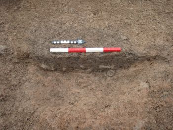
Hanley Road, Malvern Wells, Worcestershire.
 Released: 24 September 2015
Collection doi: 10.5284/1034390
|
|
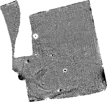
Land off Bransford Road, Rushwick, Worcestershire (OASIS ID: archaeol20-212507).
 Released: 03 November 2015
Collection doi: 10.5284/1035164
|
|
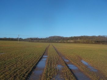
Morton Wood (Morton Low Farm), Abbots Morton, Worcestershire (OASIS ID: stratasc1-214935).
 Released: 15 August 2016
Collection doi: 10.5284/1039455
|
|
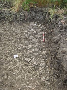
Pershore Road, Evesham, Worcestershire.
 Released: 24 September 2015
Collection doi: 10.5284/1034395
|
|
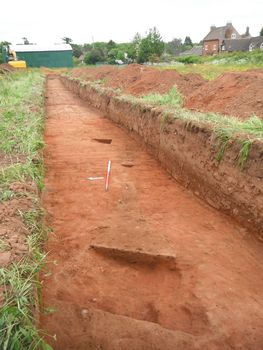
Land North of Worcester Road, Great Witley, Archaeological Evaluation.
 Released: 24 September 2015
Collection doi: 10.5284/1034391
|
|
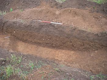
Gwillams Farm, Ombersley Road, Bevere.
 Released: 24 September 2015
Collection doi: 10.5284/1034388
|
|
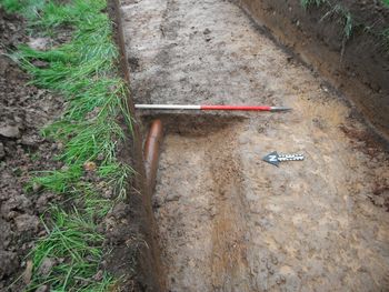
Land at Sparrowhall Lane, Powick, Worcestershire (OASIS ID: cotswold2-151711).
 Released: 24 September 2015
Collection doi: 10.5284/1034393
|
|
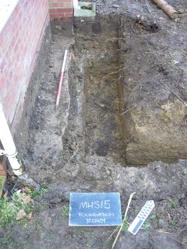
Mill House, Sedgeberrow (OASIS ID - archaeol5-201471).
 Released: 06 May 2015
Collection doi: 10.5284/1031211
|
|
Land south of Badsey Road, Badsey, Worcestershire. Archaeological Evaluation.
 Released: 29 April 2015
Collection doi: 10.5284/1031206
|
|
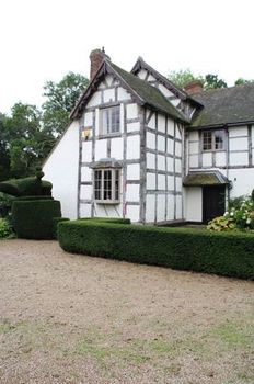
Hanley Hall, Gilberts End, Worcestershire.
 Released: 10 December 2014
Collection doi: 10.5284/1028978
|
|
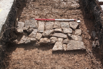
Bewdley Lane, Evesham, Worcestershire.
 Released: 16 January 2015
Collection doi: 10.5284/1028986
|
|
Evaluation at Land off Chapel Lane, Upton Snodsbury, Worcestershire.
 Released: 16 January 2015
Collection doi: 10.5284/1028987
|
|
Tempwood, Defford Road, Pershore, Worcestershire, Evaluation.
 Released: 16 January 2015
Collection doi: 10.5284/1028990
|
|
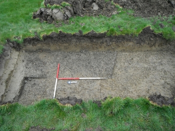
Land at 52 Bretforton Rd, Badsey, Worcestershire.
 Released: 16 January 2015
Collection doi: 10.5284/1028988
|
|
Land at Kiln Close, Leigh Sinton, Worcestershire.
 Released: 18 November 2014
Collection doi: 10.5284/1028303
|
|
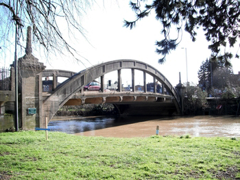
Abbey Bridge and Viaduct, Evesham, Worcestershire Watching Brief and Building Recording.
 Released: 15 January 2015
Collection doi: 10.5284/1028985
|

|
Land at Green Hedges, Claphill Lane, Rushwick, Worcestershire (WSM49639).
 Released: 30 May 2014
Collection doi: 10.5284/1026639
|

|
Land at Station Road, Honeybourne, Worcestershire (WSM49638).
 Released: 30 May 2014
Collection doi: 10.5284/1026640
|

|
Blackstone, Worcestershire.
 Released: 01 March 2011
Collection doi: 10.5284/1000133
|
|
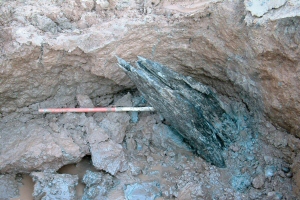
Land south-west of Ripple, Worcestershire.
 Released: 15 November 2007
Collection doi: 10.5284/1000261
|

|
Retreat Farm Quarry, Grimley, Worcestershire.
 Released: 06 July 2007
Collection doi: 10.5284/1000015
|


 Released: 21 August 2024


 Released: 06 March 2023


 Released: 27 January 2023


 Released: 18 March 2019
 Released: 01 August 2018
 Released: 14 August 2018


 Released: 01 December 2016


 Released: 12 December 2016


 Released: 03 November 2015
 Released: 15 August 2016


 Released: 06 May 2015


 Released: 01 March 2011


