
Site Images from an Archaeological Watching Brief at Kinterbury Point, Devonport, Plymouth 2019-2020
Cotswold Archaeology, 2021. https://doi.org/10.5284/1085014. How to cite using this DOI
Data copyright © Cotswold Archaeology unless otherwise stated
This work is licensed under a Creative Commons Attribution 4.0 International License.

Primary contact
Cotswold Archaeology
Building 11
Kemble Enterprise Park
Cirencester
GL7 6BQ
UK
Tel: 01285 771022
Fax: 01285 771033
Resource identifiers
- ADS Collection: 4016
- DOI:https://doi.org/10.5284/1085014
- How to cite using this DOI
Introduction
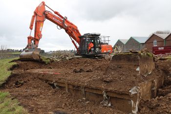
This collection comprises site images from an intermittent archaeological watching brief at Kinterbury Point undertaken by Cotswold Archaeology from January 2019 to September 2020. Also known as Bull Point, the site is an ordnance store constructed between 1851 and 1854, although there have been many later reconstructions/additions. Part of the site is designated as a Scheduled Monument (National Heritage List for England Entry Number 1003059).
The watching brief recorded a series of modern made ground deposits throughout the site. These are indicative of extensive ground truncation during the 19th and 20th century development of the site. The earliest structures recorded during the watching brief are probably a former cobbled road surface. Although undated artefactually, this surface was cut by later tramways. The watching brief recorded a series of tramways running on the same lines as the extant roads and pathways within the site. These tramways post-date 1894 and connected the buildings at the site. The watching brief also recorded a World War II-era bomb shelter and concrete floor slabs associated with demolished 20th-century buildings.
