
Site and Post-Excavation Data from an Archaeological Investigation of Blenheim Net Zero Project, Woodstock, Oxfordshire 2020
Oxford Archaeology (South), 2021. https://doi.org/10.5284/1086881. How to cite using this DOI
Data copyright © Oxford Archaeology (South) unless otherwise stated
This work is licensed under a Creative Commons Attribution 4.0 International License.

Primary contact
Oxford Archaeology (South)
Janus House
Osney Mead
Oxford
OX2 0ES
UK
Tel: 01865 263800
Fax: 01865 793496
Resource identifiers
- ADS Collection: 4046
- DOI:https://doi.org/10.5284/1086881
- How to cite using this DOI
Introduction
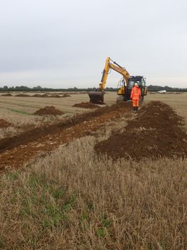
Preceding geophysical survey of the proposed development site in May 2020 detected a small number of anomalies of possible or probable archaeological origin, as well as those indicative of geological variations and modern agricultural land use. A total of 66 trenches were investigated across an 8.9ha area of the site that will be directly impacted upon by the proposed development. Of these, seven trenches were found to contain archaeological remains comprising a small number of ditches and pits concentrated in the south of the site. A moderately good correlation between the results of the geophysical survey and archaeological evaluation was demonstrated. A small quantity of worked flint and a pit containing broadly middle Bronze Age to early Iron Age pottery provides limited evidence of low-level prehistoric activity. A series of parallel ditches appear to have delineated a Roman trackway that crossed the south of the site on an ENE-WSW alignment. The offset nature of one of the ditches is suggestive of a different phase of the same trackway or perhaps an associated field boundary. Small quantities of early and middle Roman pottery and animal bones are suggestive of nearby settlement activity. Earthwork and cropmark evidence suggest that the trackway was connected to a nearby Roman farmstead (Scheduled Monument No. 1006357). The trackway perhaps formed part of a local network associated with Akeman Street located to the north. Limited late post-medieval/modern remains are demonstrative of agricultural use of the landscape during this period.
