Site Data from an Archaeological Evaluation and Excavation at Exeter Road, Topsham, Devon 2017
Cotswold Archaeology, 2021. https://doi.org/10.5284/1088109. How to cite using this DOI
Data copyright © Cotswold Archaeology unless otherwise stated
This work is licensed under a Creative Commons Attribution 4.0 International License.
Primary contact
Cotswold Archaeology
Building 11
Kemble Enterprise Park
Cirencester
GL7 6BQ
UK
Tel: 01285 771022
Fax: 01285 771033
Resource identifiers
- ADS Collection: 4087
- DOI:https://doi.org/10.5284/1088109
- How to cite using this DOI
Introduction

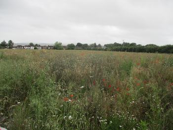
This collection comprises site data (Images, Reports, Site Records and Database) from an archaeological evaluation and excavation at land off Exeter Road, Topsham, Exeter. The work was undertaken by Cotswold Archaeology: the trial trench evaluation in July 2017 and an excavation in September and October 2017.
880132/889014, ERT17:
A total of 13 trenches was excavated within the site. The evaluation recorded an early Roman ditch and two pits in the northern/north-eastern part of the site. Three post-medieval/modern ditches were also recorded.
880244/889014, TOPS17:
An archaeological excavation was undertaken by Cotswold Archaeology at land off Exeter Road, Topsham, in September and October, 2017, at the request of Burrington Estates Ltd.
An excavation area of 0.628 ha was targeted on features identified by evaluation. Towards the north of the excavation area, an extensive natural hollow was surrounded, to the north and west, by a discrete group of pits, containing uniform deposits of burnt stone and charcoal, but no finds. On the basis of radiocarbon-dated charcoal from a fill comparable to those of the pits to the north of the hollow, these, and other similar pits, were assigned a Late Neolithic date. An Early Roman ditched boundary, aligned NNW/SSE, may represent an early phase of land division within the hinterland of the Legionary Fortress at Exeter.
Almost all identified archaeological features were located to the east of this principal ditch, including an associated short boundary. Early Roman features included a number of discontinuous ditches, which may represent surviving elements of a settlement enclosure, but were otherwise difficult to interpret in plan. The pottery from ditch fills displayed little scope for elucidating a developmental sequence. Three closely-associated Late Iron Age/Early Roman ditches in the south of the excavation area were partly cut by a group of seven graves, of later Roman date. The latest dateable feature was a post-medieval boundary ditch, which cut a number of earlier features. The site includes evidence of boundaries, settlement and burial activity, ranging from the Later Iron Age to the early Modern period, together with an earlier phase of Late Neolithic activity. This collection presents a quantification and assessment of the evidence recovered from the excavation. It considers the evidence collectively in its local, regional and national context, and presents a brief updated project design for a programme of post-excavation analysis to bring the results to appropriate publication.


