
Data from a Borehole Survey at North of Great Ouse (Westbury Viaduct), Westbury, Aylesbury Vale, Buckinghamshire, 207-2018 (HS2 Phase One)
COPA: Cotswold Oxford Pre-Construct Archaeology, Oxford Archaeology Ltd, High Speed Two Ltd., 2025. https://doi.org/10.5284/1126688. How to cite using this DOI
Data copyright © High Speed Two Ltd. unless otherwise stated
This work is licensed under a The Open Government Licence (OGL).

Primary contact
High Speed Two Ltd.
2 Snowhill
Queensway
Birmingham
B4 6GA
United Kingdom
Tel: 08081 434 434
Resource identifiers
- ADS Collection: 4276
- DOI:https://doi.org/10.5284/1126688
- How to cite using this DOI

Downloads
Reports | Images | Spreadsheets | GIS | Site Records
|
Title: 1C17NGOBH raster metadata Filename: 1C17NGOBH_raster_metadata.csv (4 kB) |
CSV |
Info
Download |
|

|
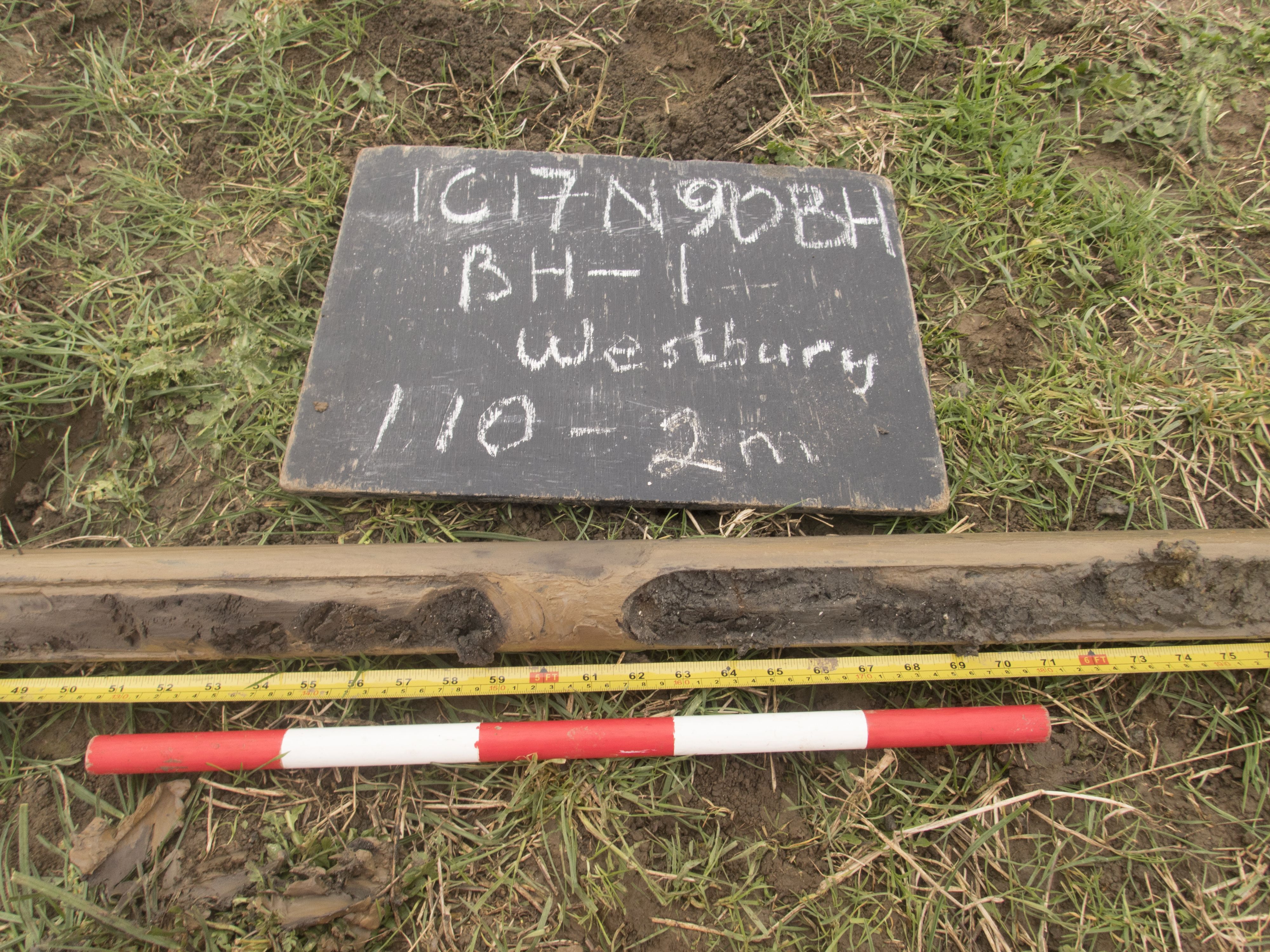
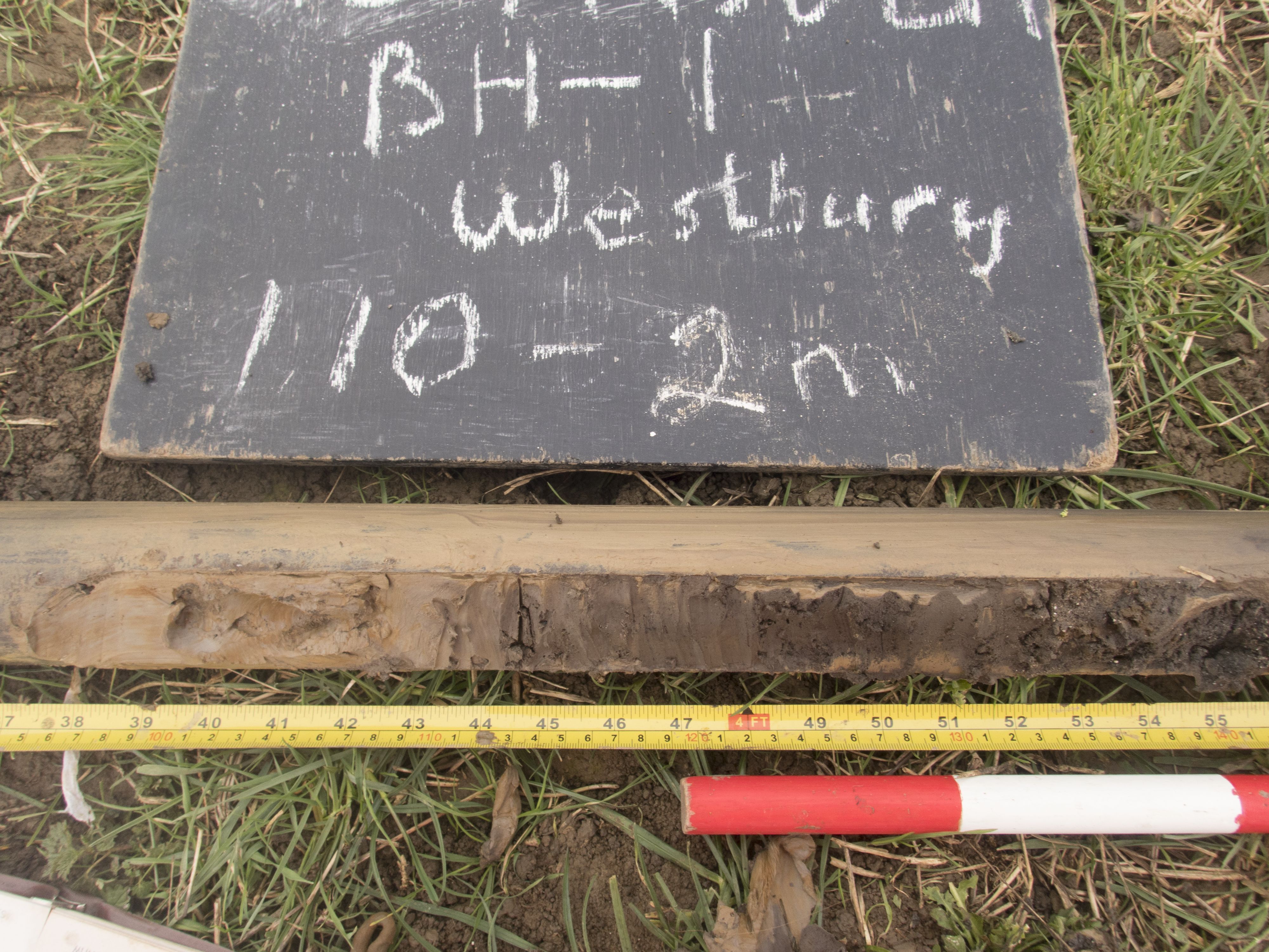
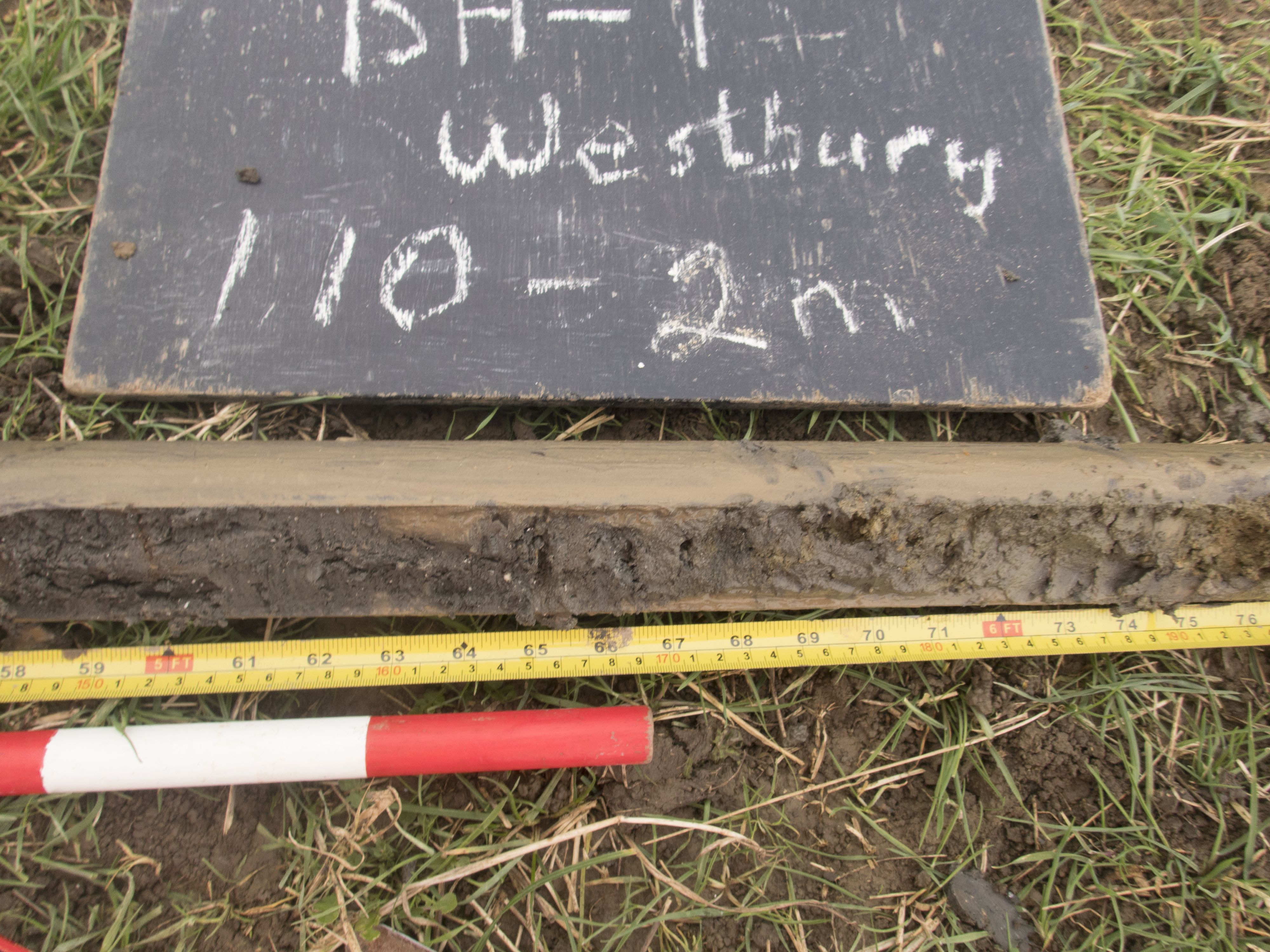
Title: BH1 1.10-c.1.40 Filename: 1C17NGOBH_0005.jpg (2 MB) |
JPG |
Info
Download |

|
Title: BH1 1.40-2.0m Filename: 1C17NGOBH_0006.jpg (1 MB) |
JPG |
Info
Download |

|
Title: BH1 1.40-2.0m Filename: 1C17NGOBH_0007.jpg (1 MB) |
JPG |
Info
Download |

|
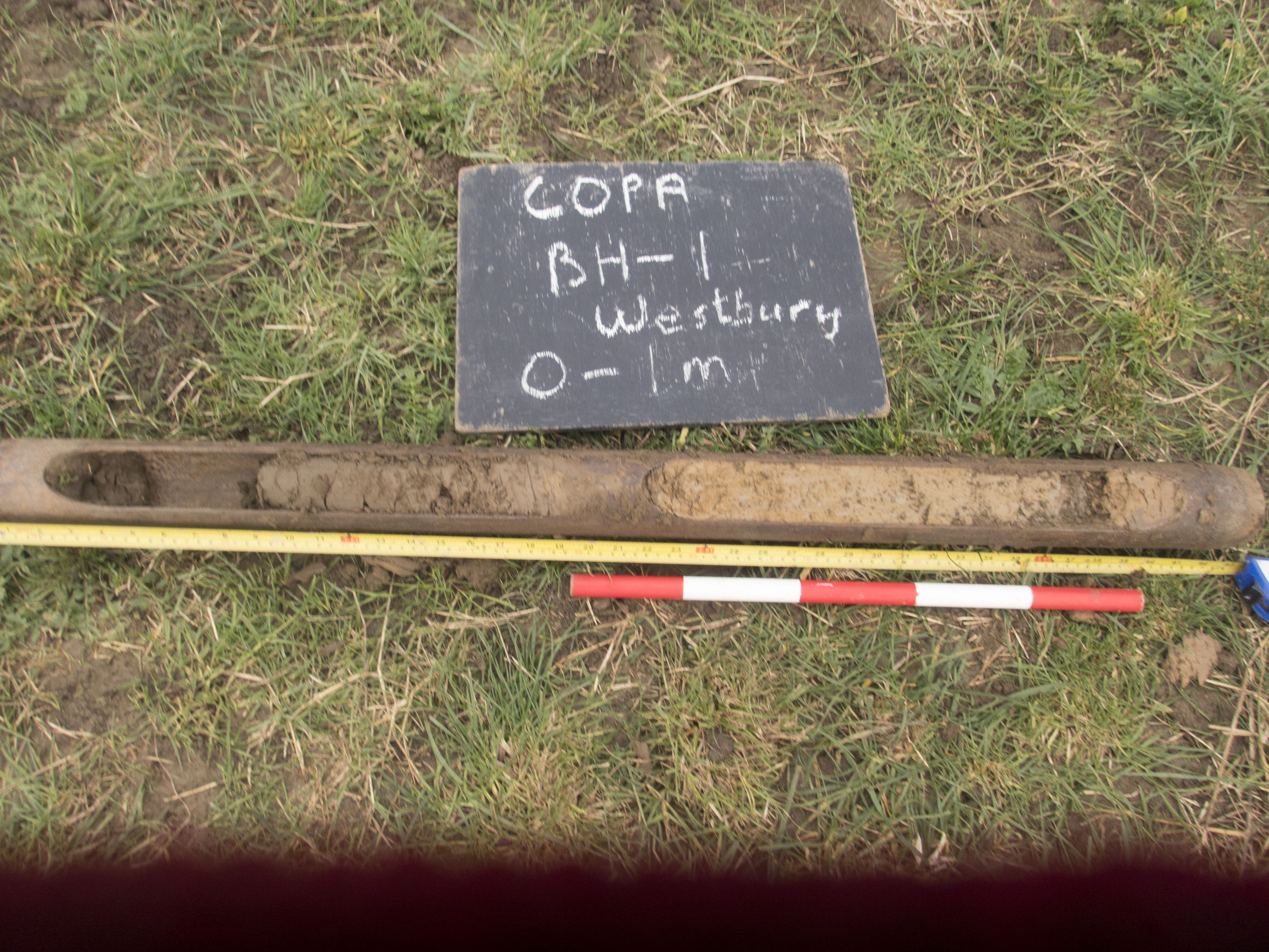
Title: BH1 first 1m logging/ describing soils Filename: 1C17NGOBH_0004.jpg (1 MB) |
JPG |
Info
Download |

|
Title: BH2, 1.5m-2.00m showing transition to humic silty clay Filename: 1C17NGOBH_0008.jpg (1 MB) |
JPG |
Info
Download |

|
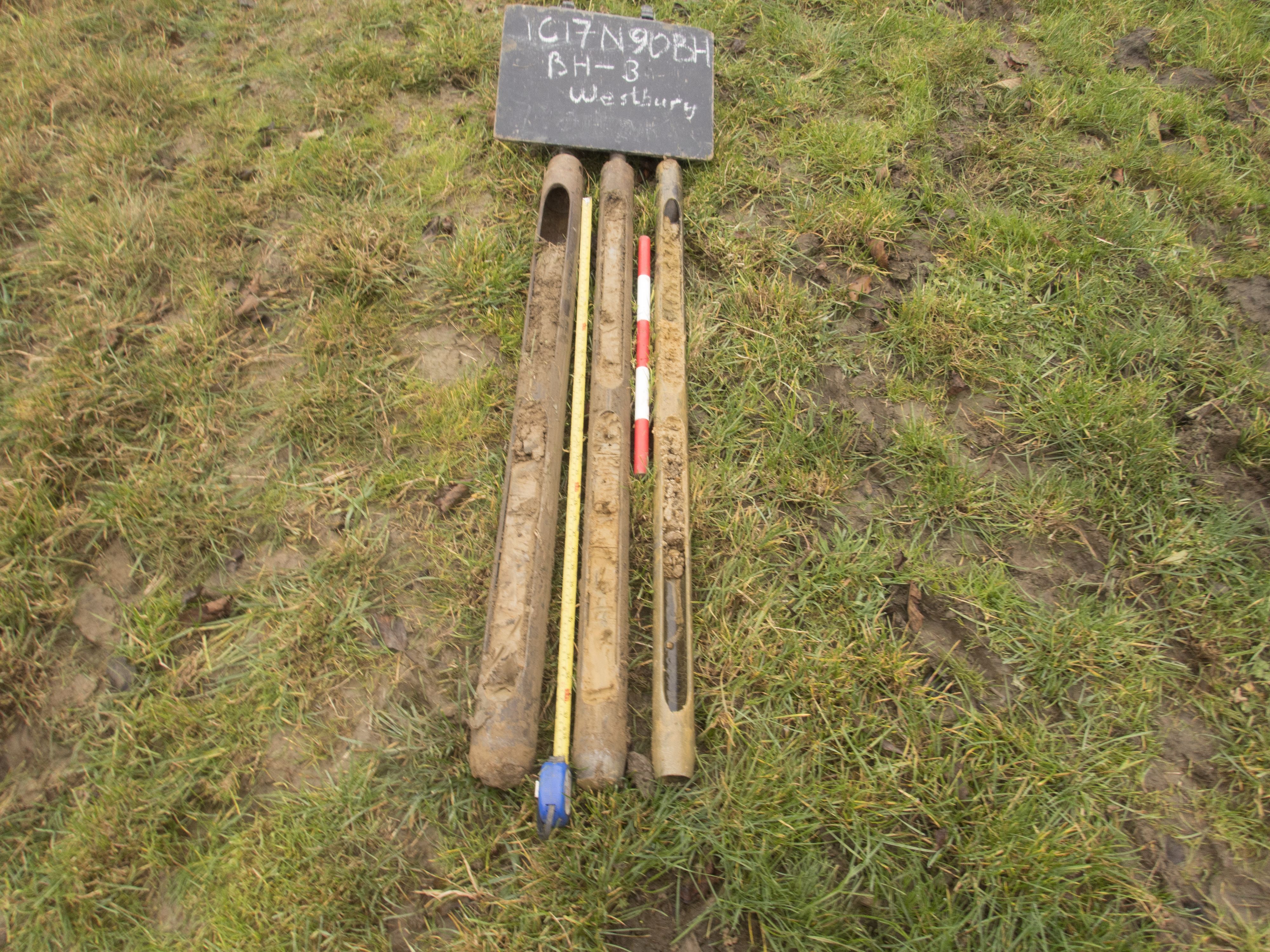
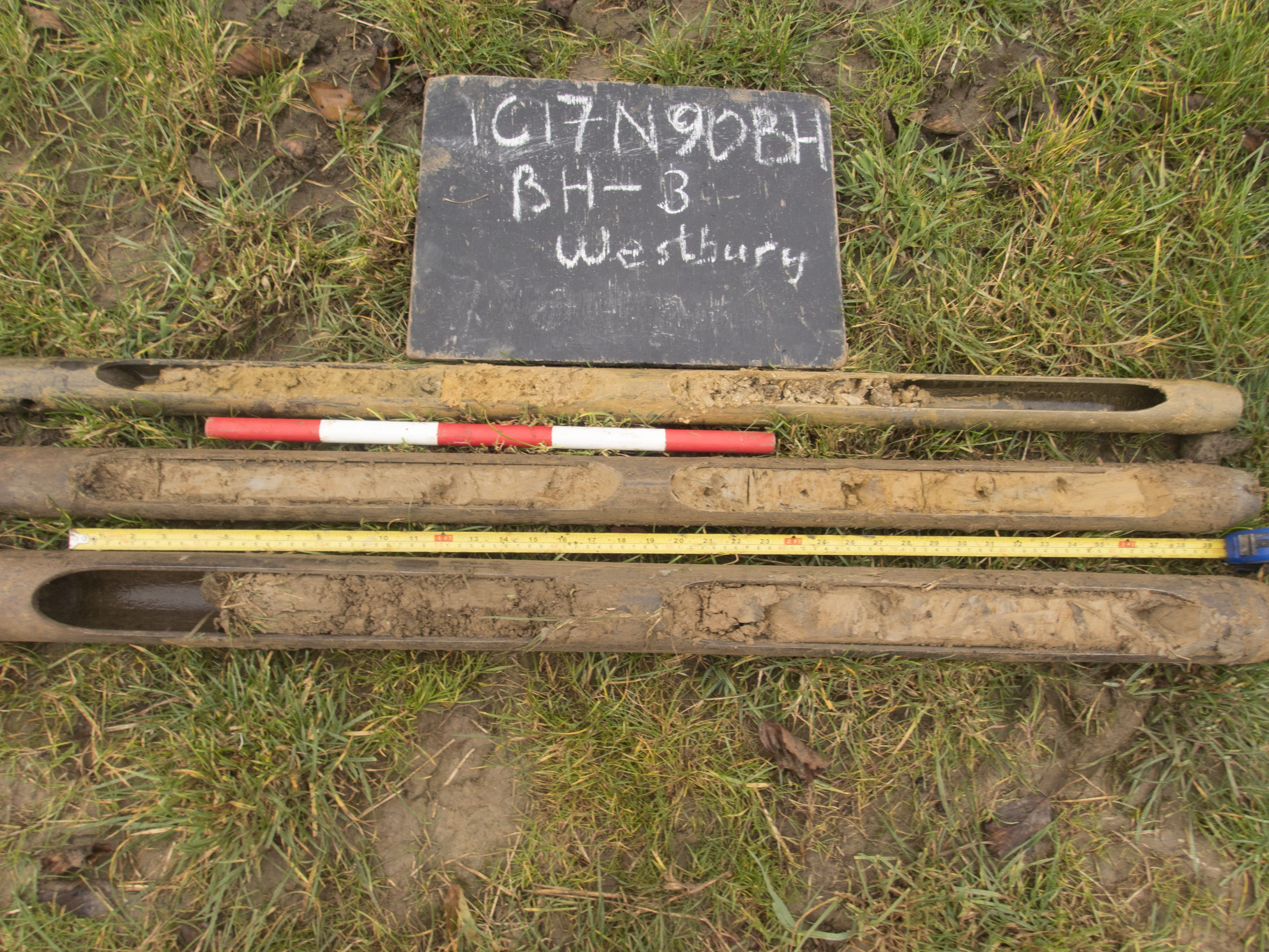
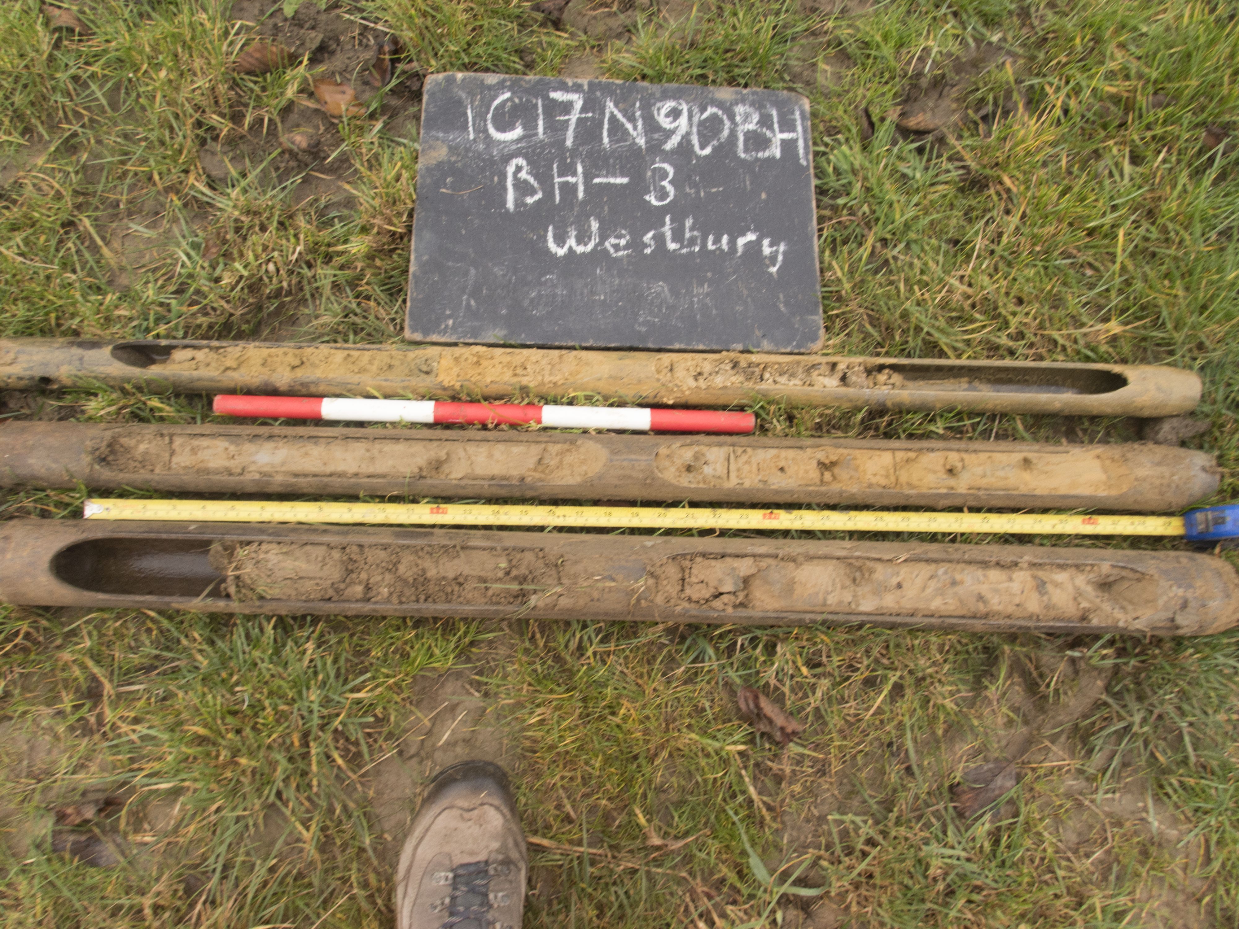
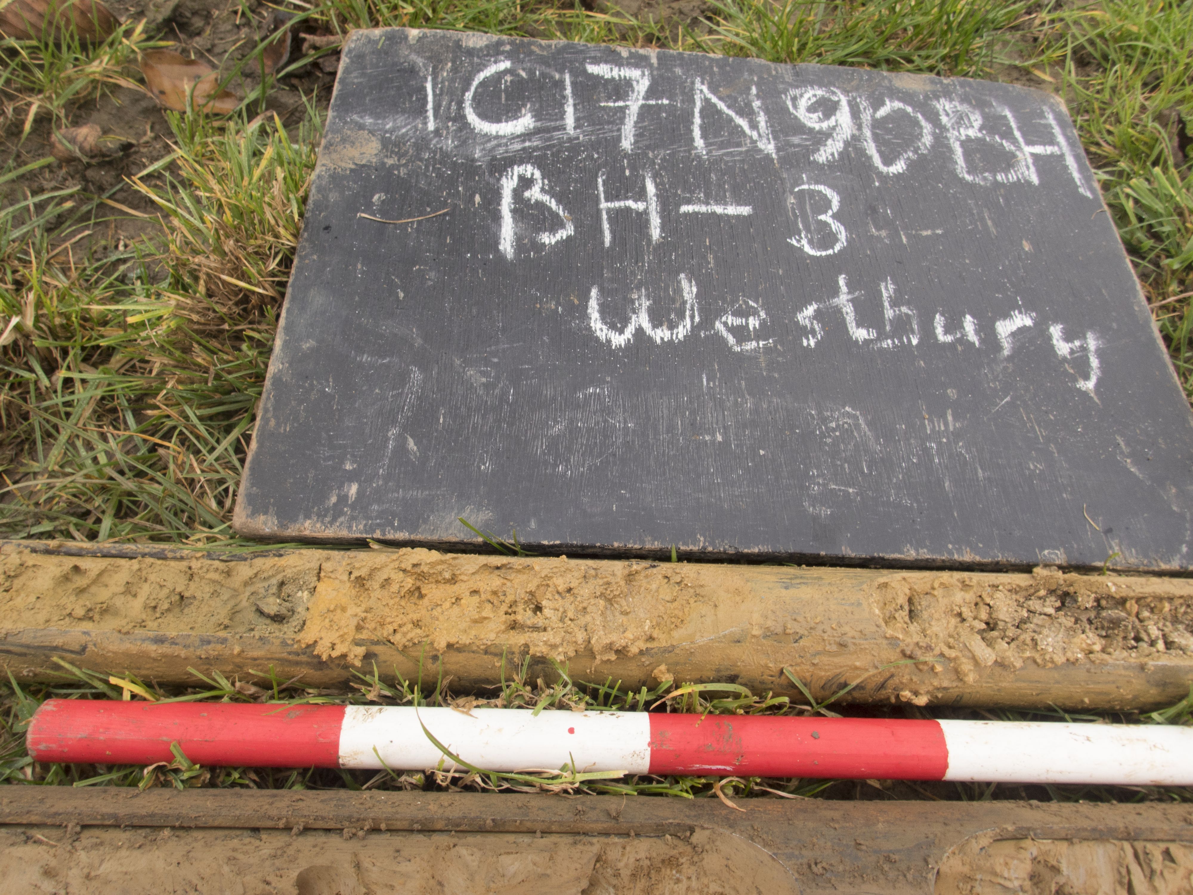
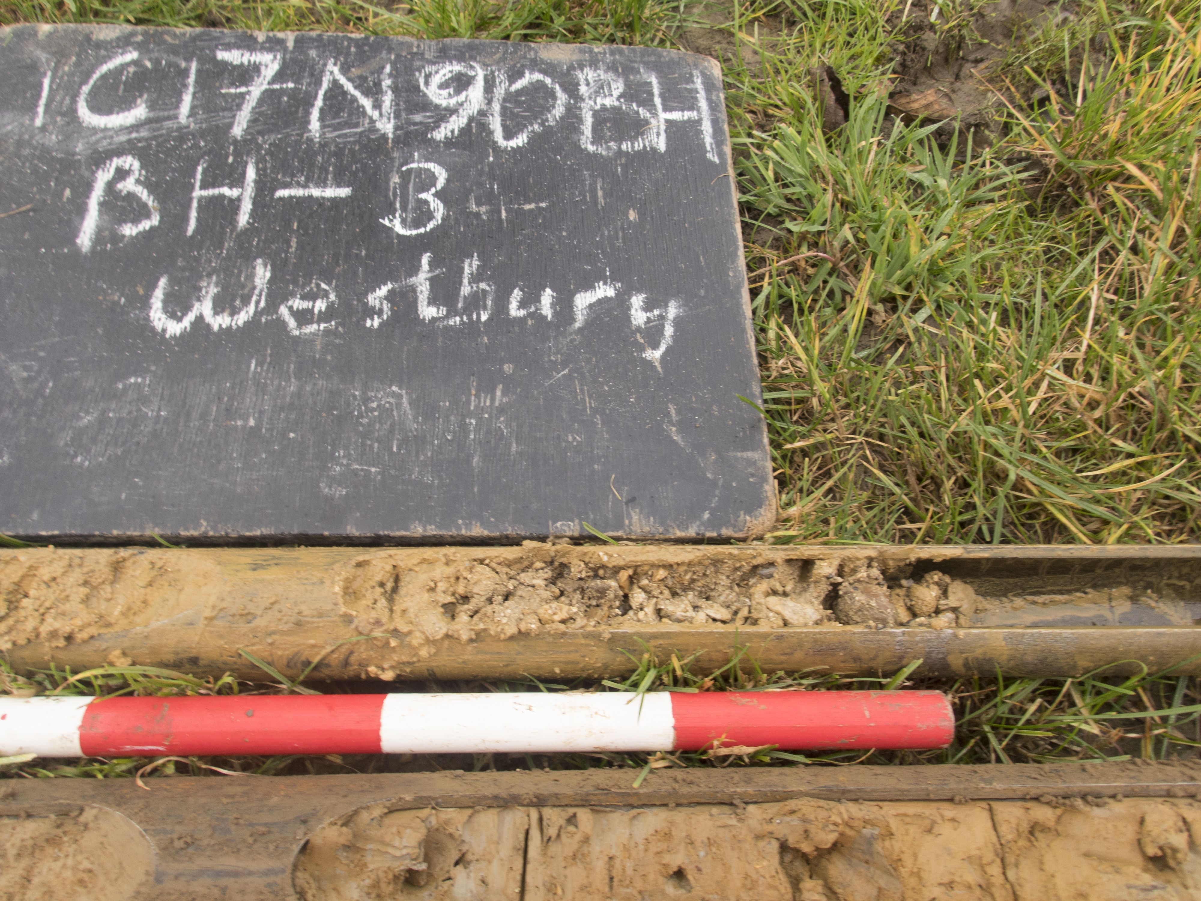
Title: BH3, all cores in sequence 0-3m Filename: 1C17NGOBH_0009.jpg (2 MB) |
JPG |
Info
Download |

|
Title: BH3, all cores in sequence 0-3m Filename: 1C17NGOBH_0011.jpg (2 MB) |
JPG |
Info
Download |

|
Title: BH3, all cores in sequence 0-3m with boot Filename: 1C17NGOBH_0010.jpg (1 MB) |
JPG |
Info
Download |

|
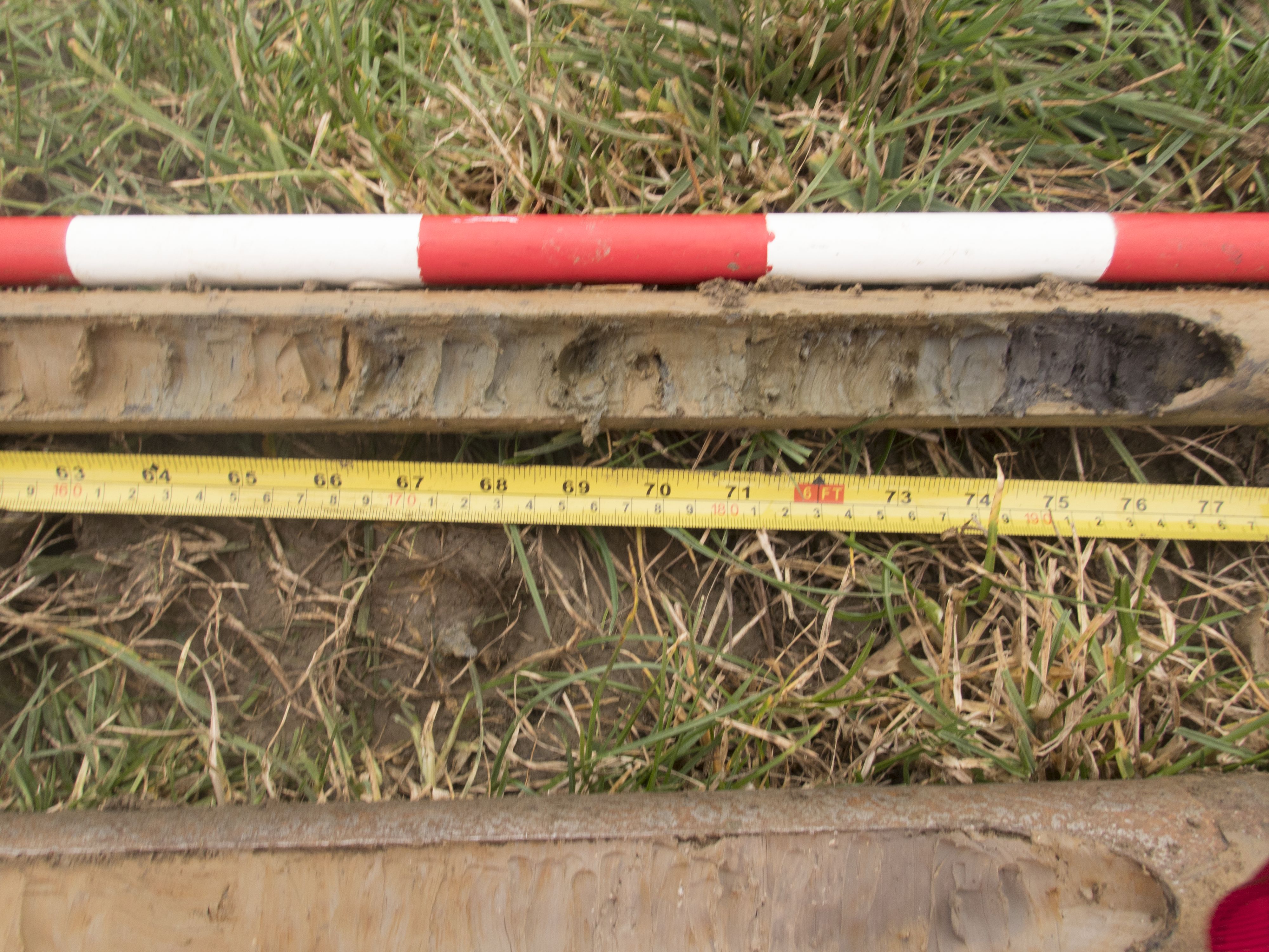
Title: BH3, coarse yellow sand 2.29-2.50m Filename: 1C17NGOBH_0013.jpg (1 MB) |
JPG |
Info
Download |

|
Title: BH3, gravel at base Filename: 1C17NGOBH_0012.jpg (1 MB) |
JPG |
Info
Download |

|
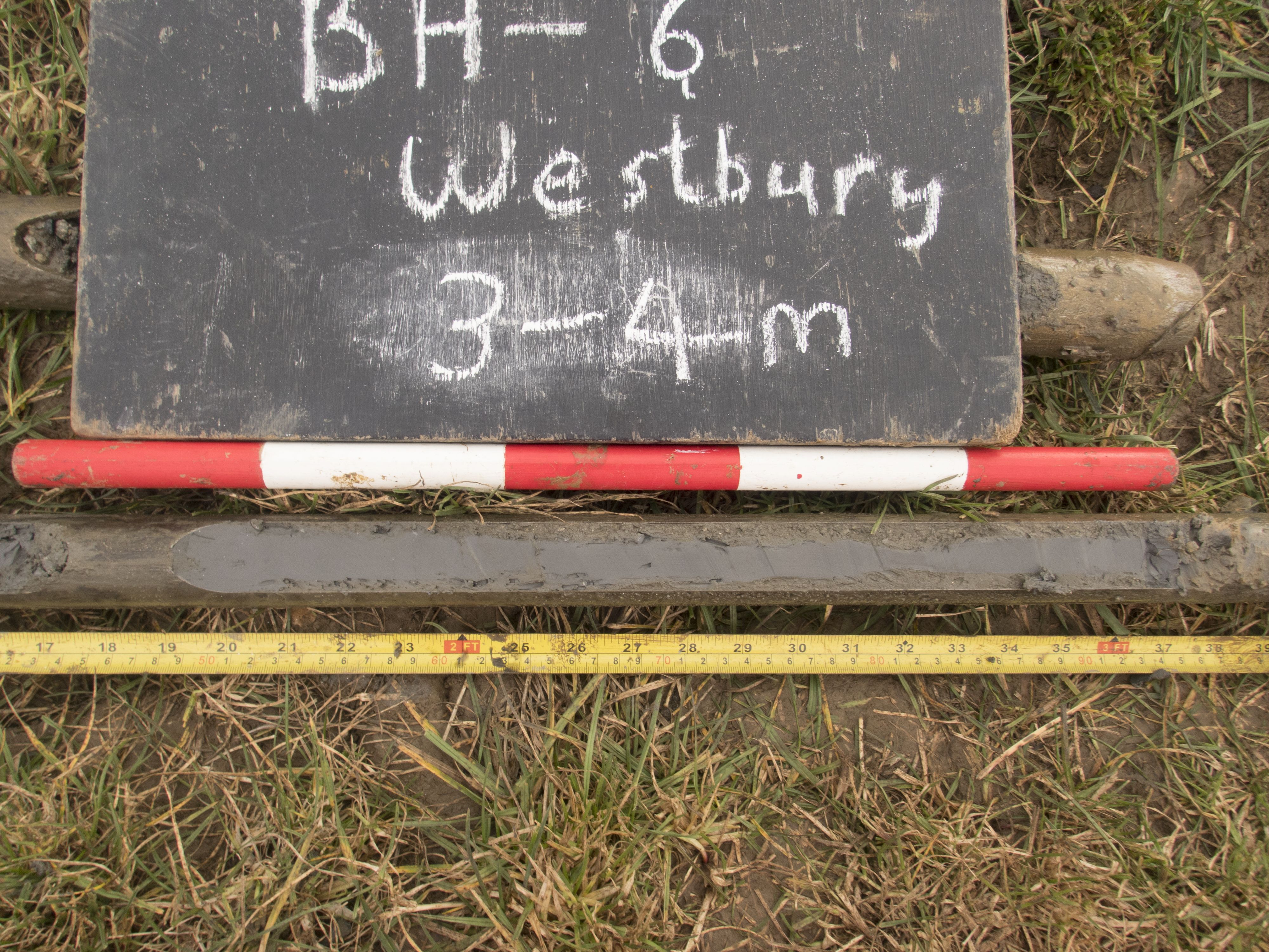
Title: BH5 3.00m-4.00m, grey humic clay at 4.00m ID board reads BH6 Filename: 1C17NGOBH_0017.jpg (2 MB) |
JPG |
Info
Download |

|
Title: BH5 3.50m-4.00m lias clay ID board reads BH6 Filename: 1C17NGOBH_0018.jpg (1 MB) |
JPG |
Info
Download |

|
Title: BH5 contact between gravel and humic clay st 2.82m ID board reads BH6 Filename: 1C17NGOBH_0016.jpg (1 MB) |
JPG |
Info
Download |

|
Title: BH5, humic-fibrous wood peat contact 1.90m ID board reads BH6 Filename: 1C17NGOBH_0015.jpg (1 MB) |
JPG |
Info
Download |

|
Title: BH5, top yellowey clay .40-1.00m ID board reads BH6 Filename: 1C17NGOBH_0014.jpg (2 MB) |
JPG |
Info
Download |

|
Title: BH7 1.00-2.00m disturbed and stiff clay Filename: 1C17NGOBH_0030.jpg (2 MB) |
JPG |
Info
Download |
 as a JPG image")
|
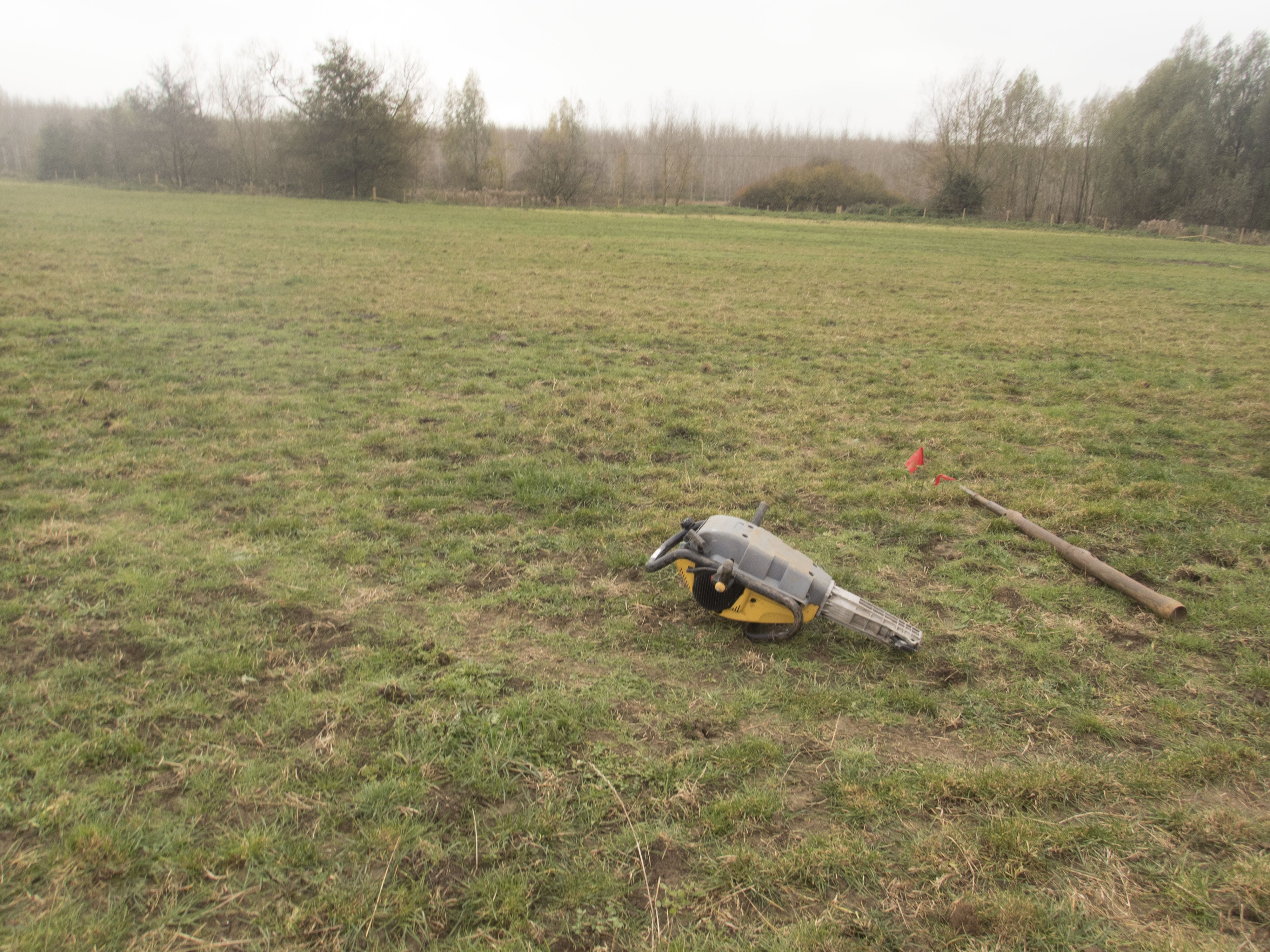
Title: BH7 location looking East (mill lade?) Filename: 1C17NGOBH_0021.jpg (2 MB) |
JPG |
Info
Download |

|
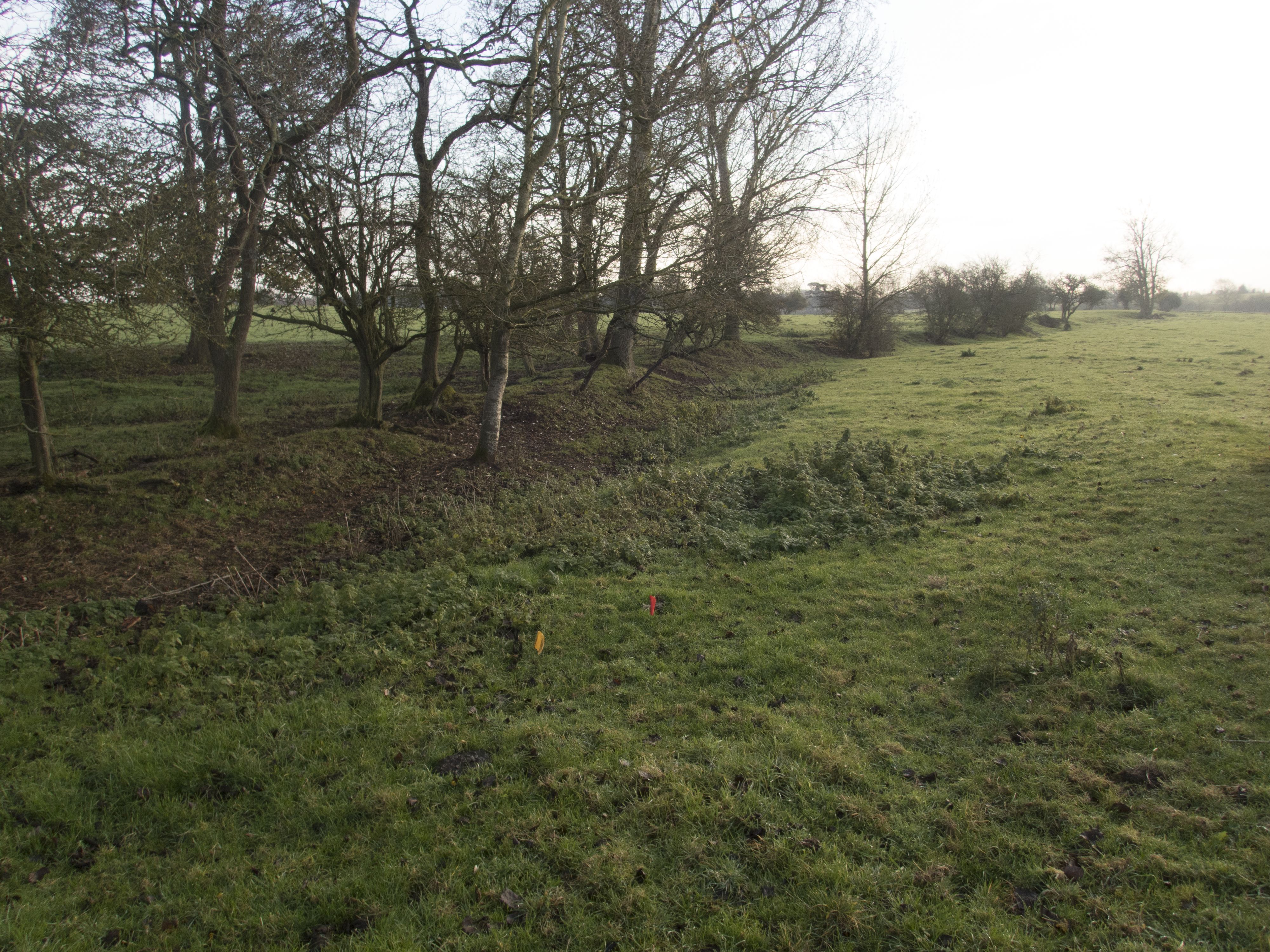
Title: From BH1 to river, Great Ouse looking WSW Filename: 1C17NGOBH_0001.jpg (1 MB) |
JPG |
Info
Download |
