
British Institute in Eastern Africa Digital Archives: John Sutton Collection
British Institute in Eastern Africa, John E G Sutton, 2024. https://doi.org/10.5284/1117706. How to cite using this DOI
Data copyright © British Institute in Eastern Africa unless otherwise stated
This work is licensed under a Creative Commons Attribution 4.0 International License.

Primary contact
British Institute in Eastern Africa
10 Carlton House Terrace
London
SW1Y 5AH
United Kingdom
Tel: +44 (0)20 7969 5201
Resource identifiers
- ADS Collection: 4420
- DOI:https://doi.org/10.5284/1117706
- How to cite using this DOI
Downloads
Engaruka
Files

|
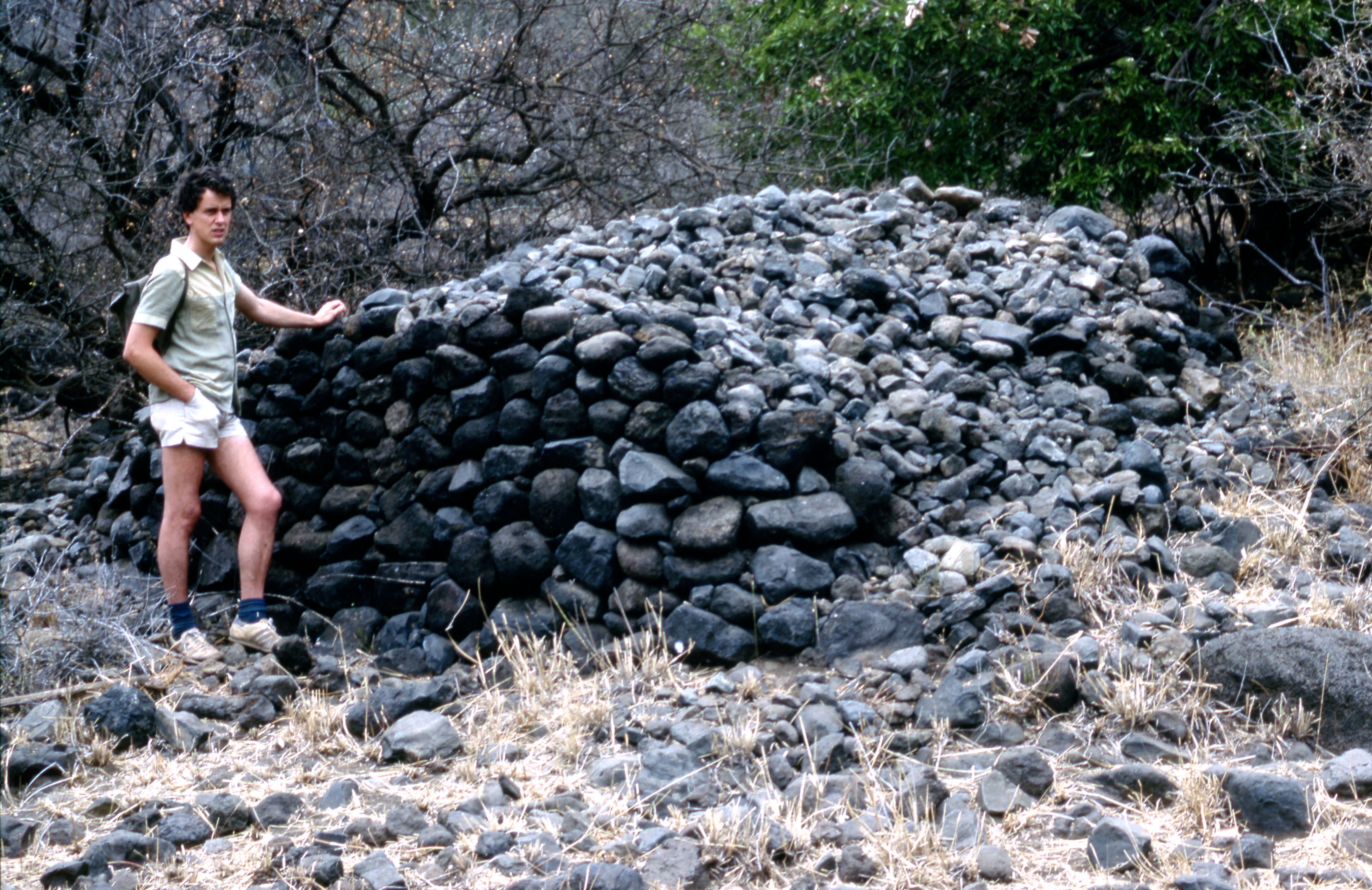
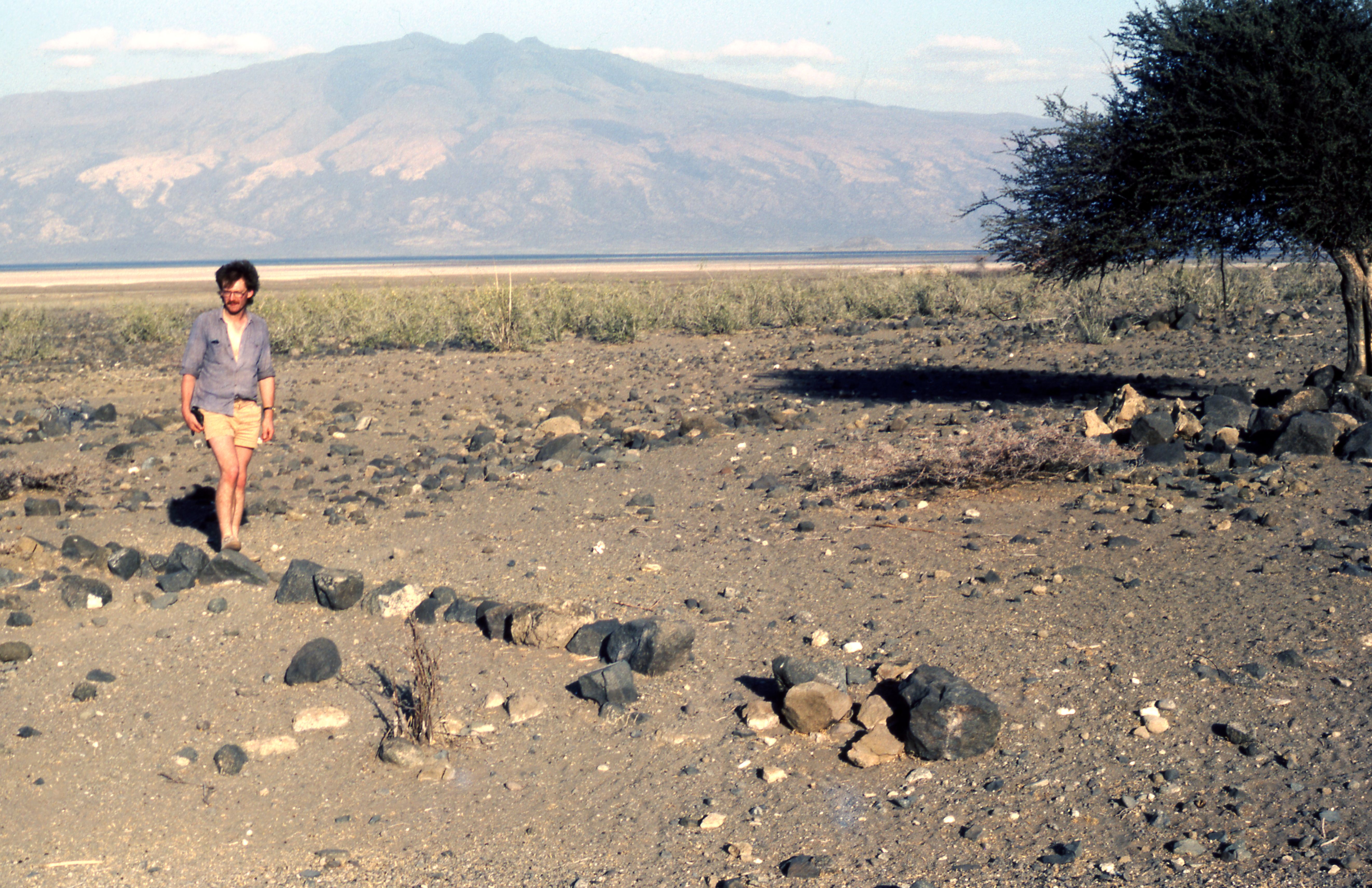
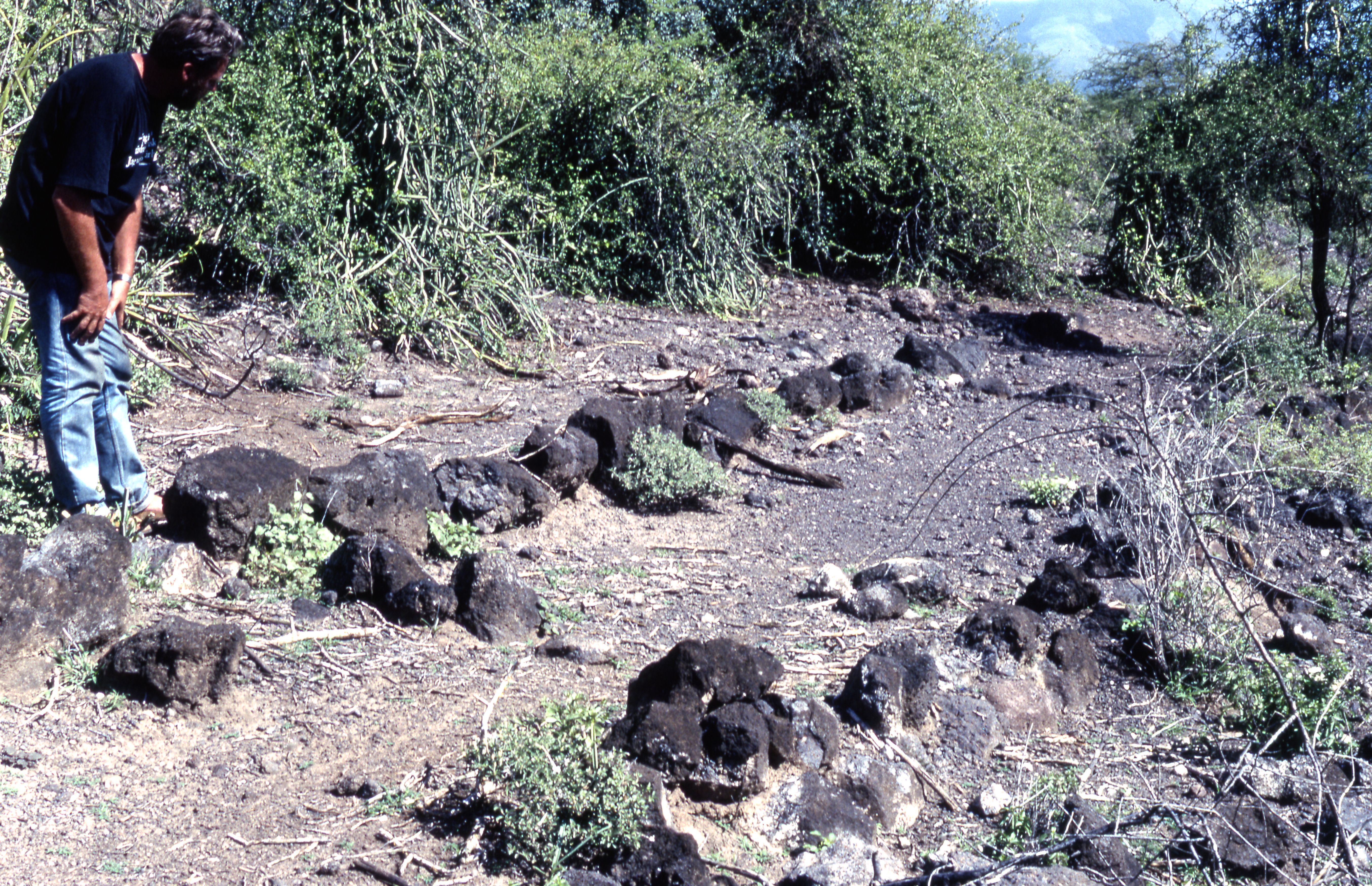
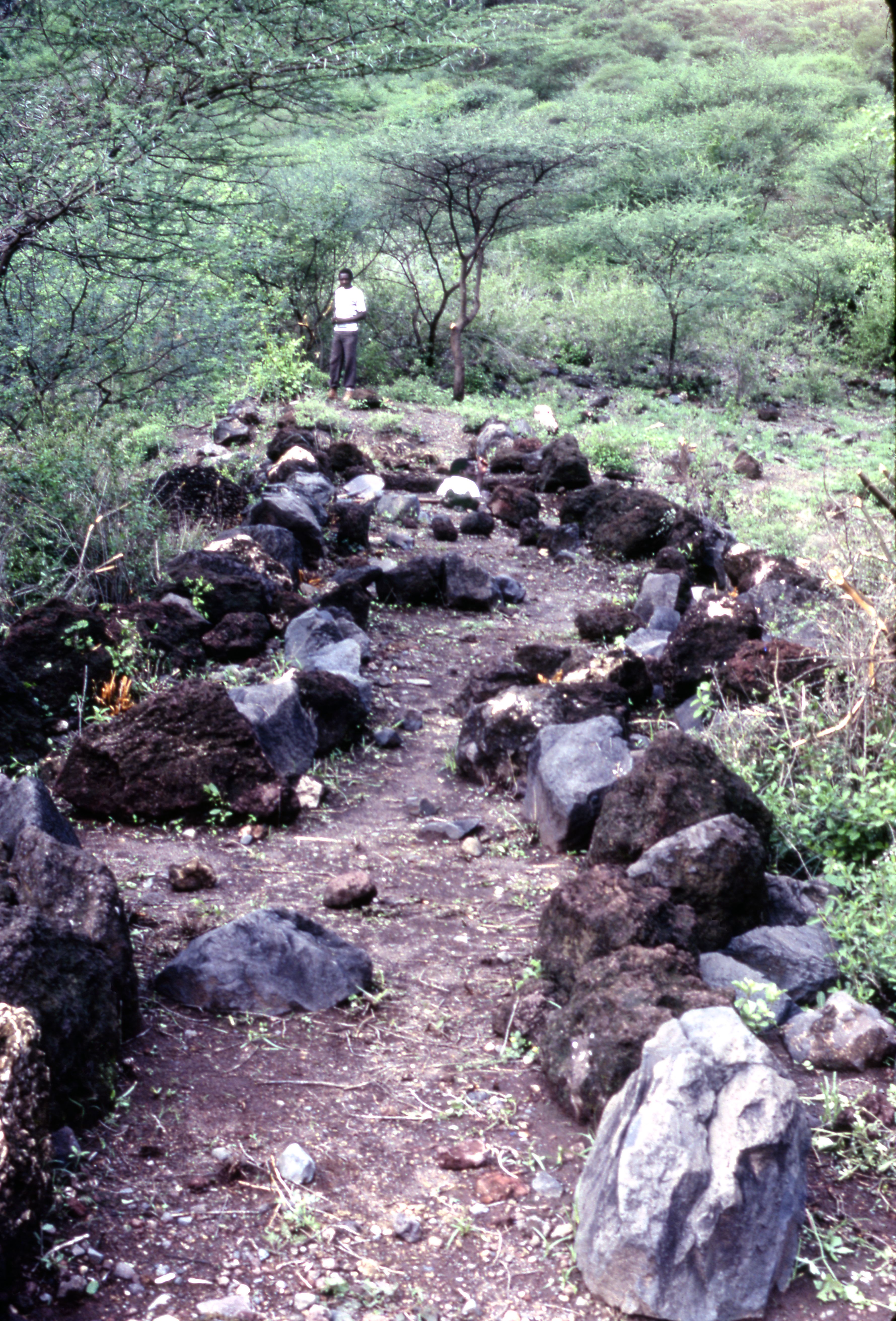
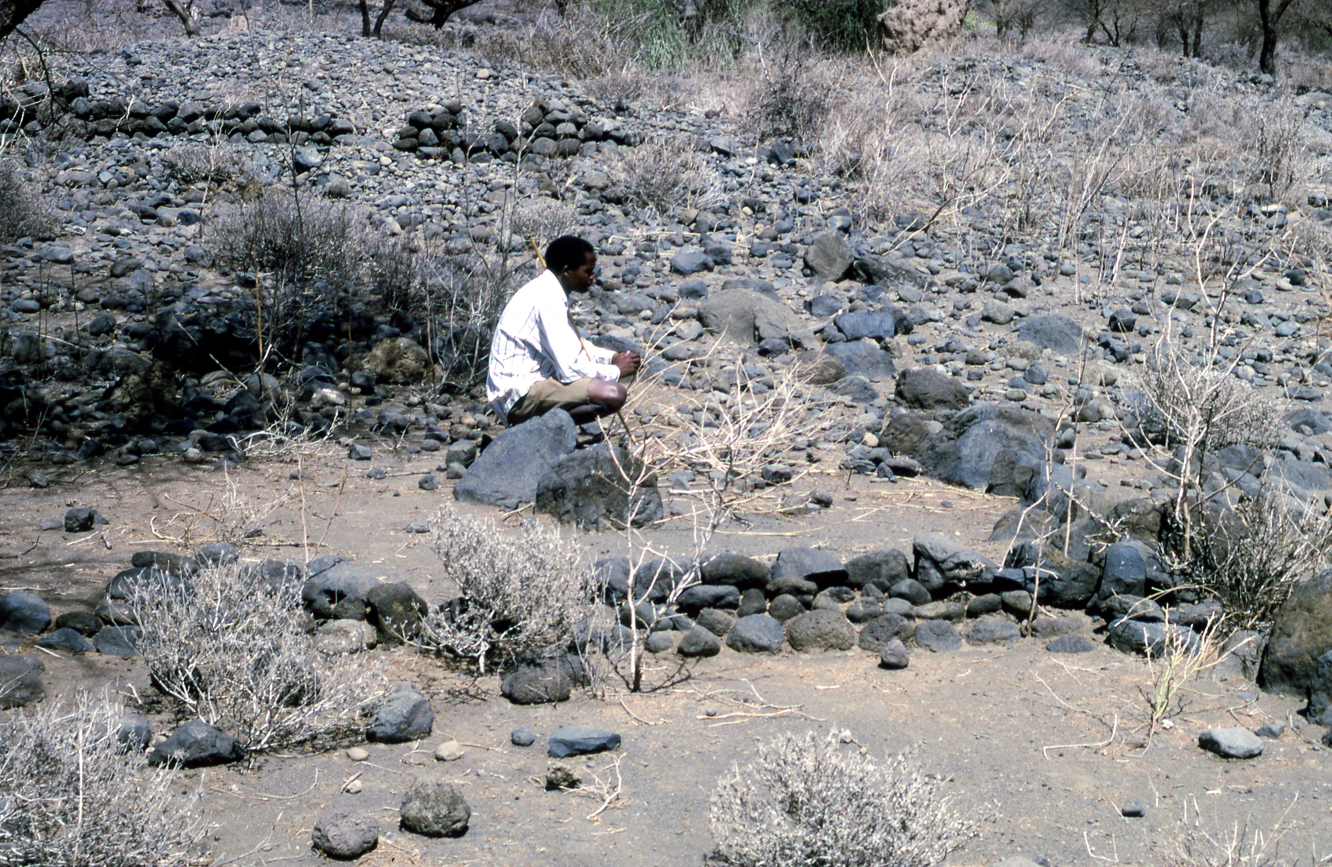
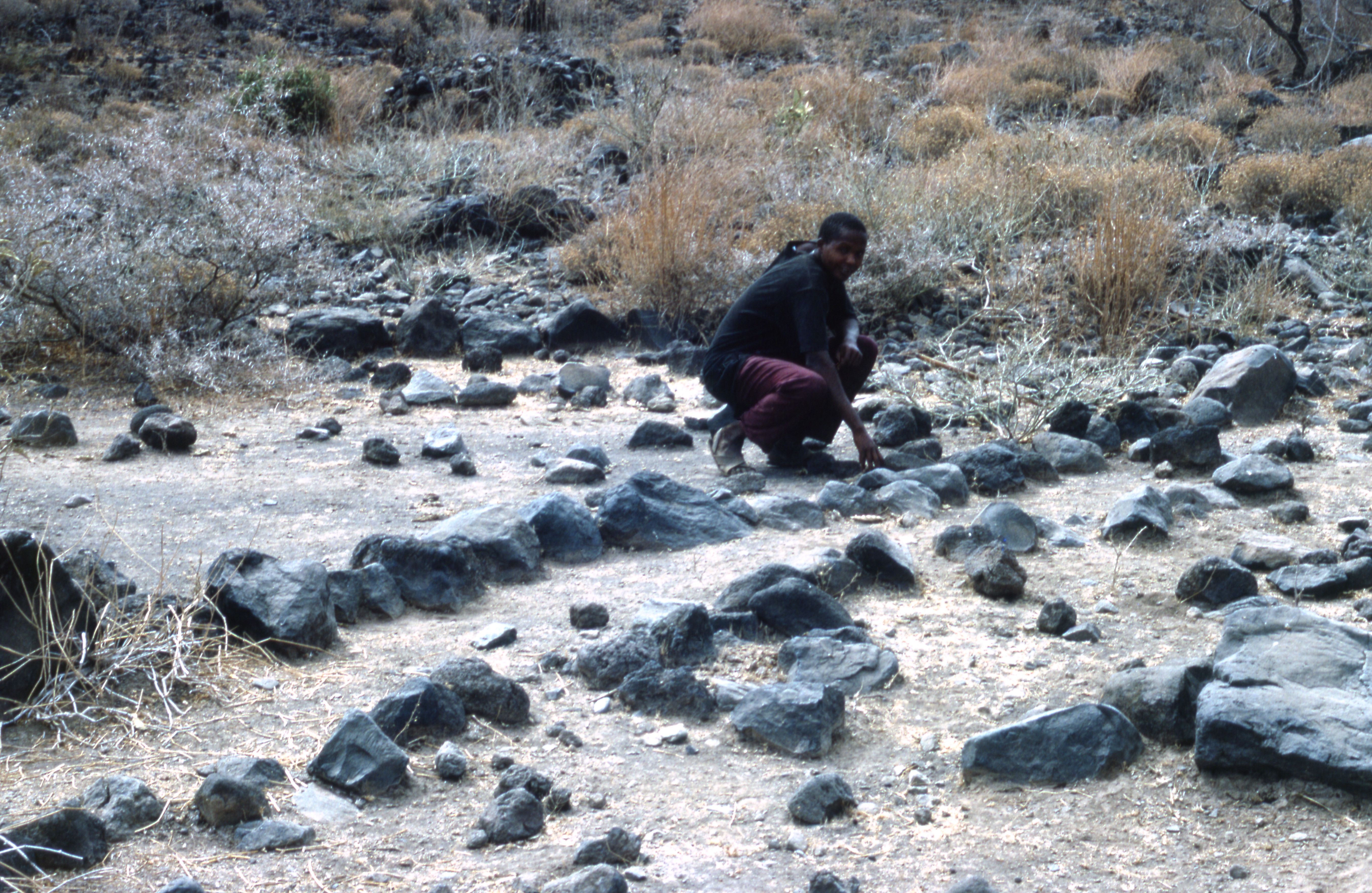
Title: A person leaning on a Cairn Filename: BIEA_Sutton_072.jpg (2 MB) Description: A colourised photo of a the cairns in central/S-cent. field area |
JPG |
Info
Download |

|
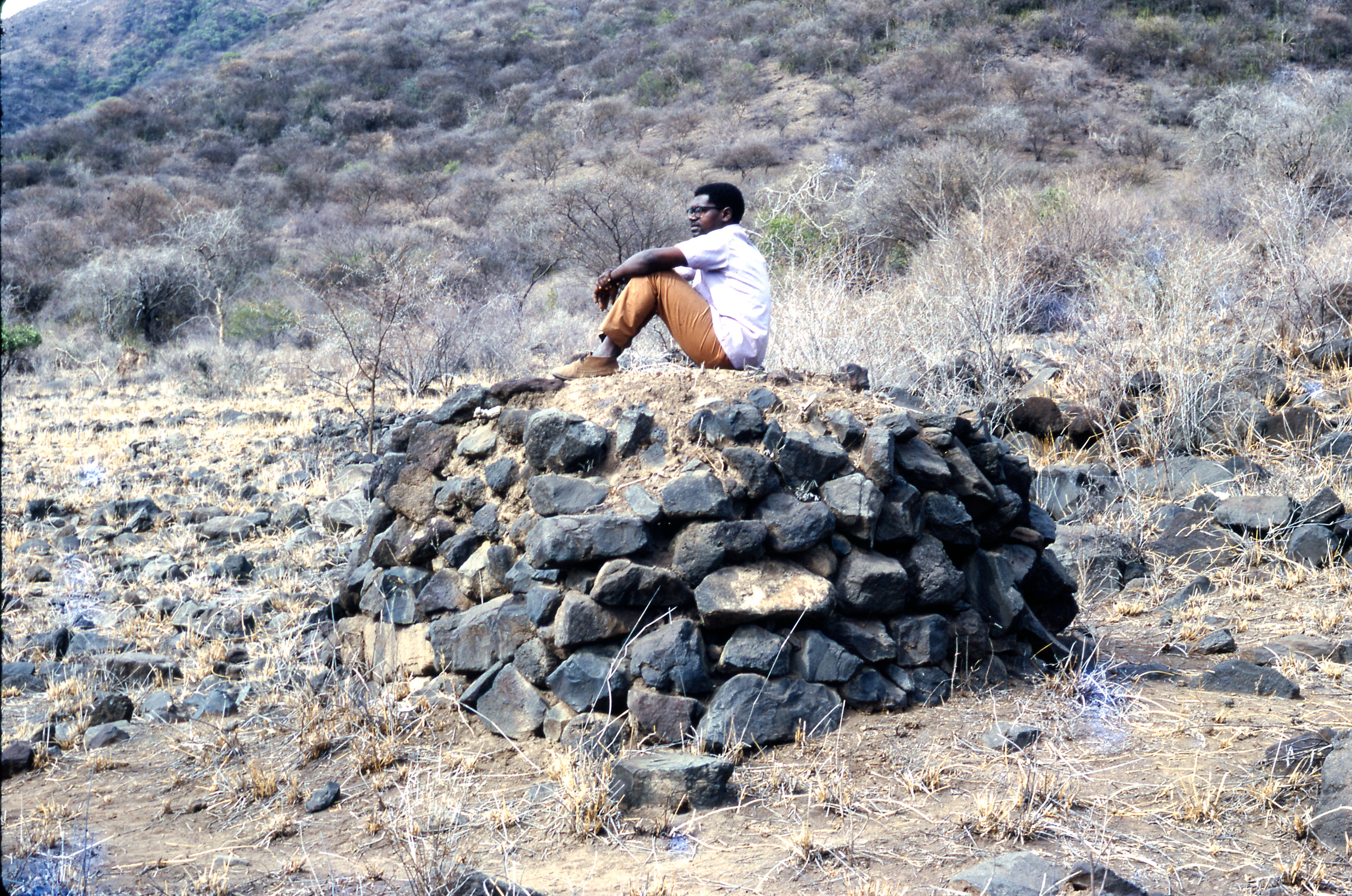
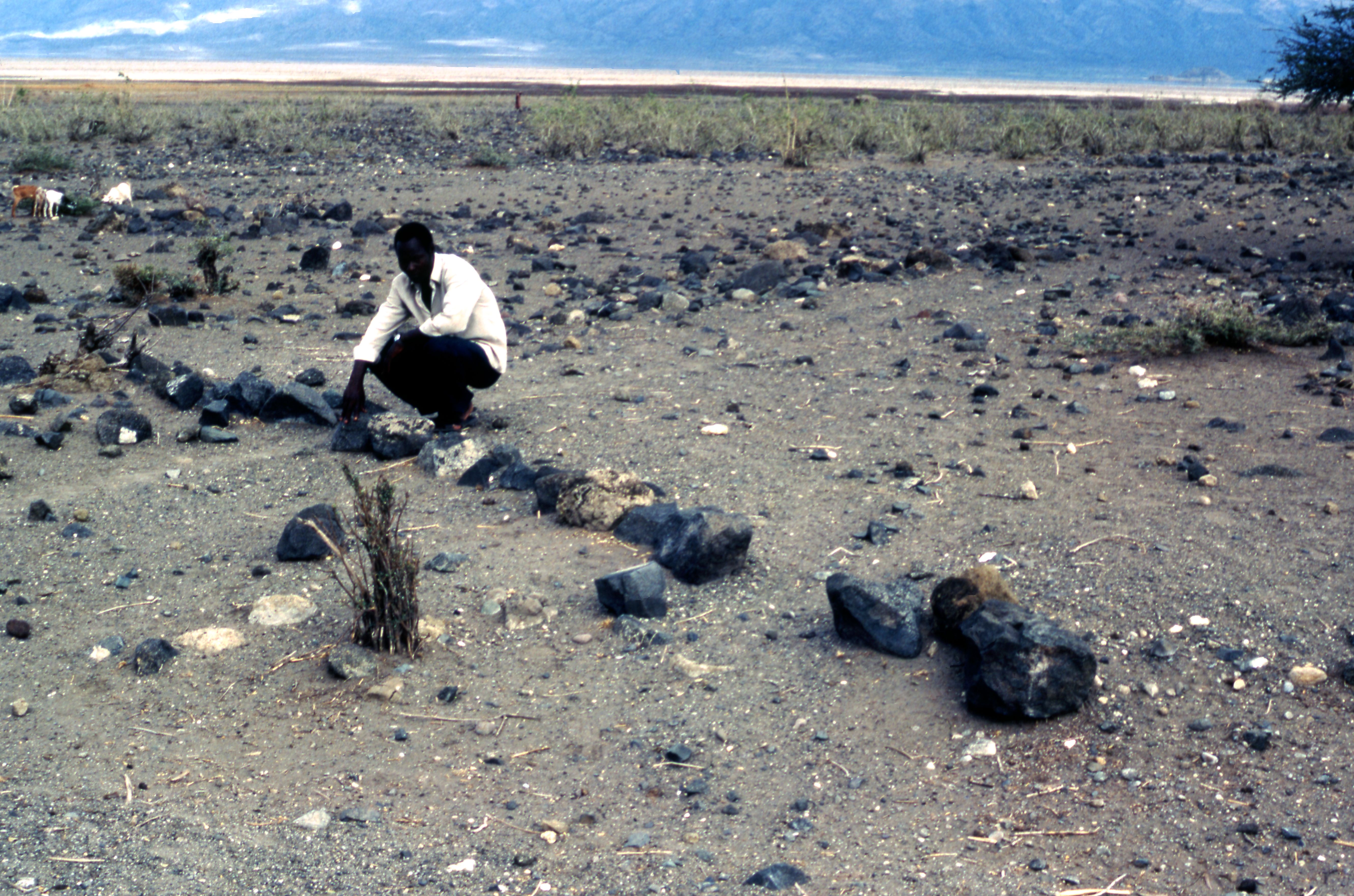
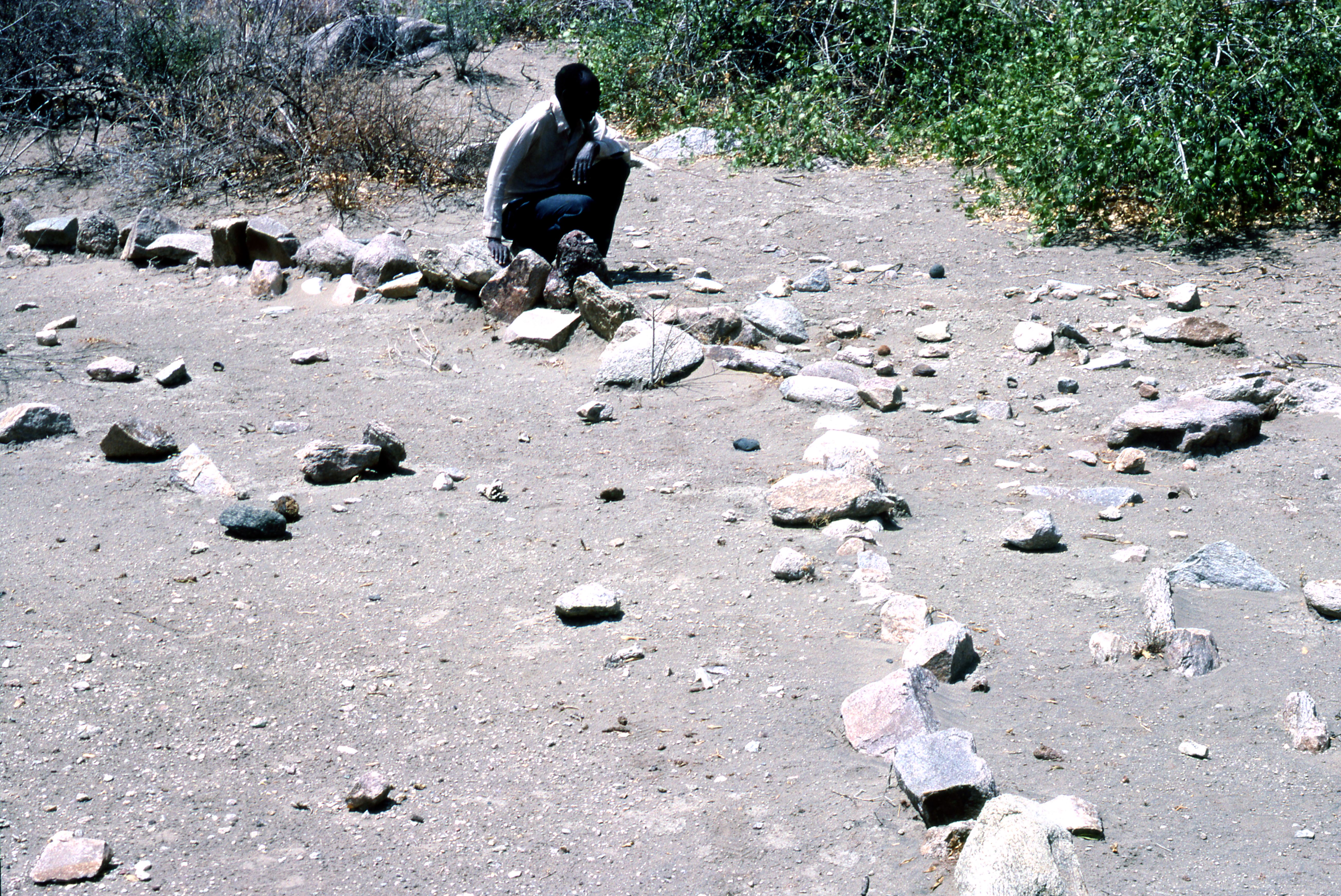
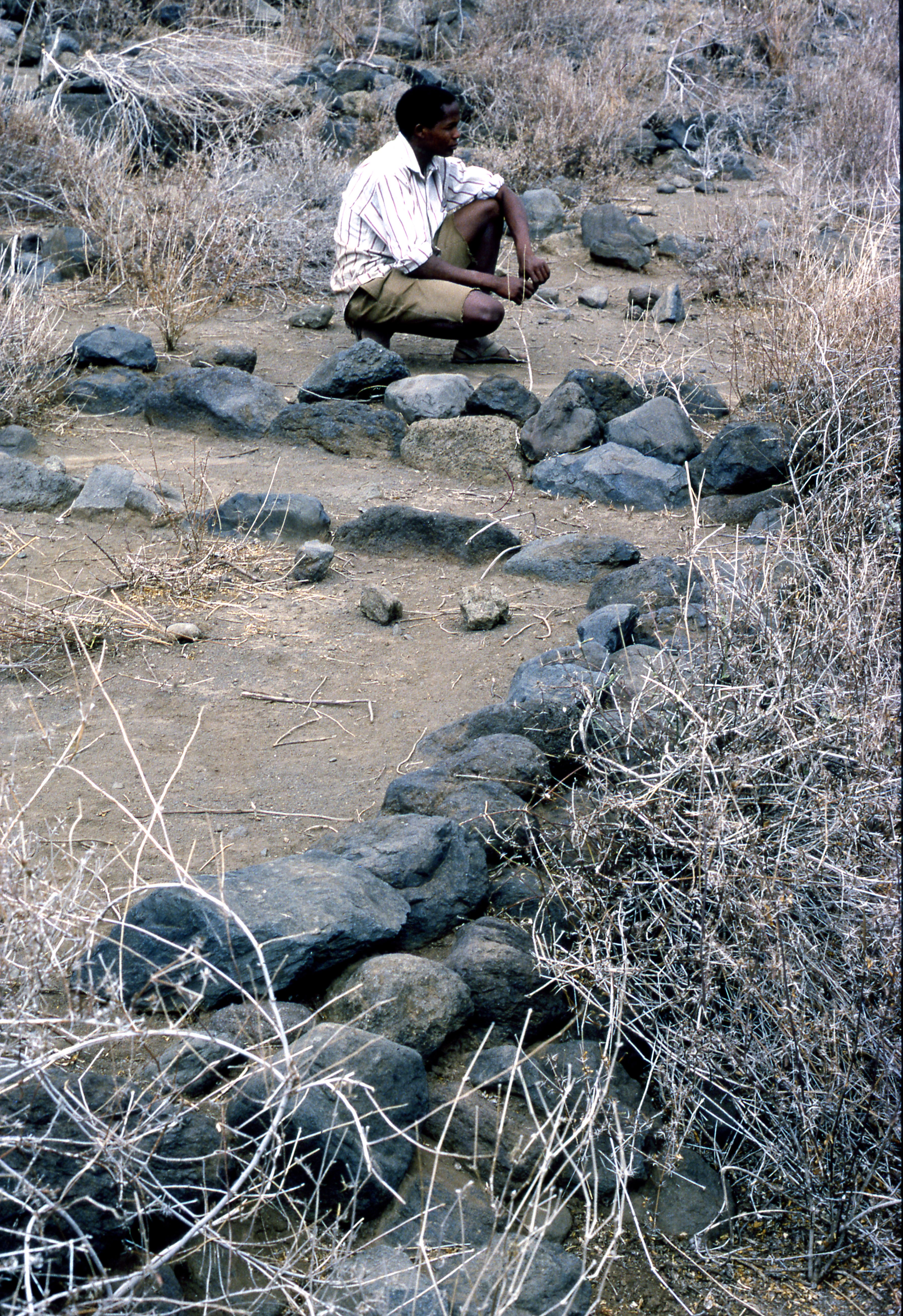
Title: A person sitting on the Cairn Filename: BIEA_Sutton_070.jpg (3 MB) Description: A colourised photo of a person sitting upon cairns in central/S-cent. field area |
JPG |
Info
Download |

|
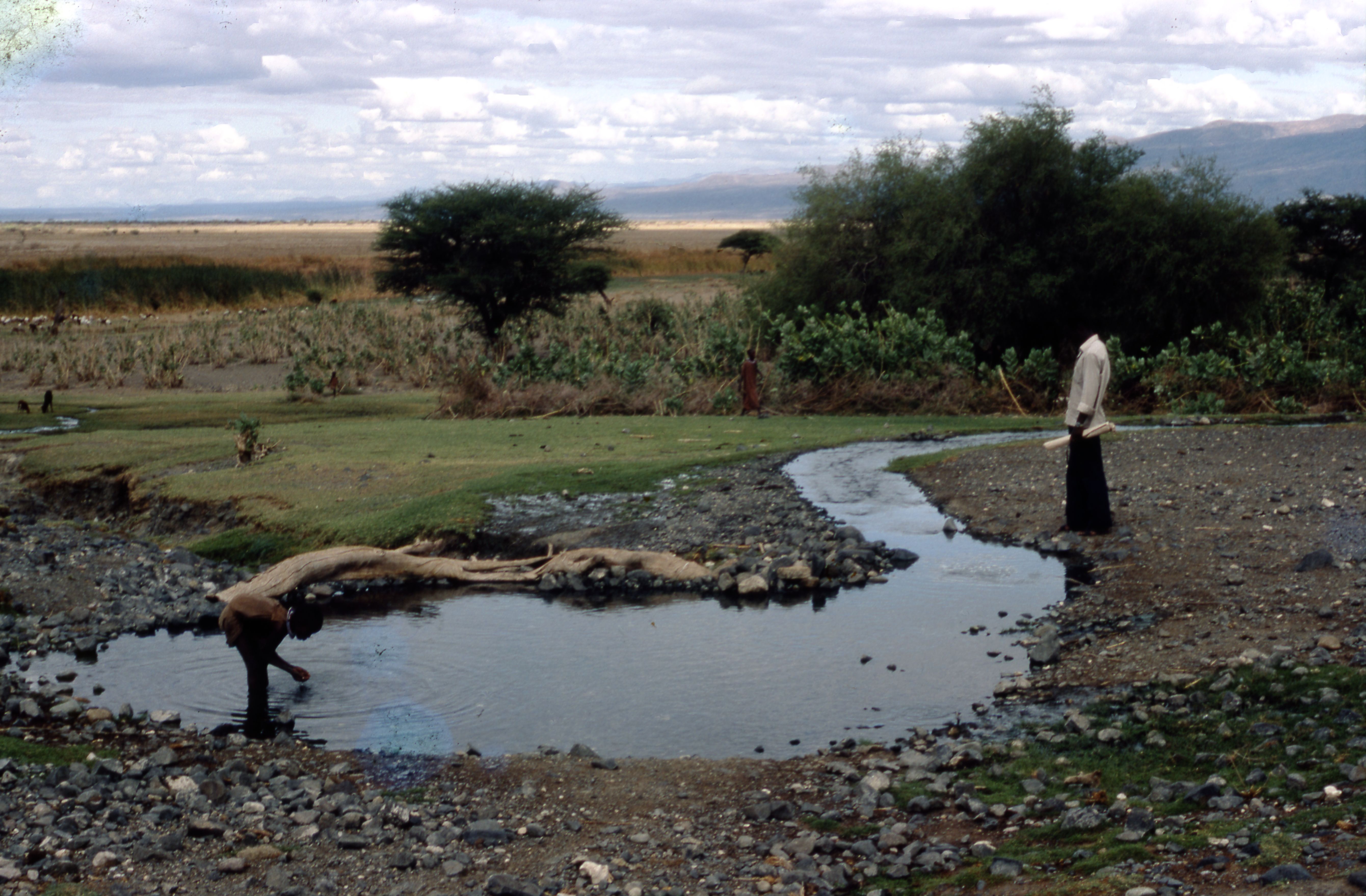
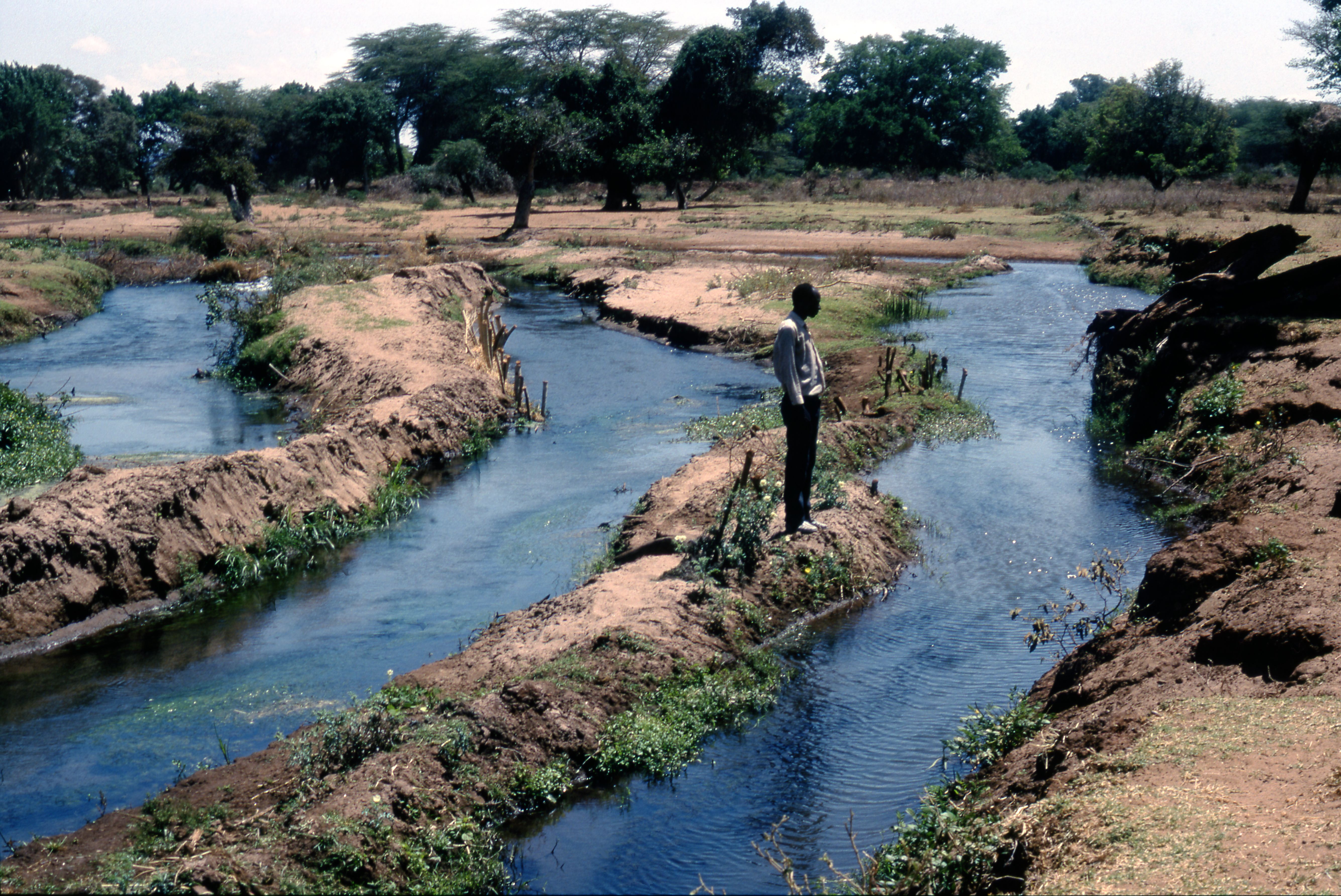
Title: Engaruka River's gorge Filename: BIEA_Sutton_048.jpg (2 MB) Description: A colourised photo of a person standing by the Engaruka river, below main gorge |
JPG |
Info
Download |
 as a JPG image")
|
Title: Engaruka River's gorge (SE) Filename: BIEA_Sutton_052.jpg (2 MB) Description: A colourised view of SE from northmost village (SE from northmost village) |
JPG |
Info
Download |

|
Title: Engaruka River's gorge above school Filename: BIEA_Sutton_047.jpg (1 MB) Description: A colourised view from hill above school of Escarpment and Engaruka River's gorge (right) |
JPG |
Info
Download |

|
Title: Enguroto in 1984 Filename: BIEA_Sutton_073.jpg (2 MB) Description: Enguroto (Lake Natron, SW side), lake and Gelai in background 1984 |
JPG |
Info
Download |

|
Title: Enguroto in 1986 Filename: BIEA_Sutton_074.jpg (2 MB) Description: Enguroto (Lake Natron, SW side), lake and Gelai in background 1986 (NB: visible archaeological field lines were mostly destroyed by cultivation, c1990) |
JPG |
Info
Download |

|
Title: Enguroto spring in 1984 Filename: BIEA_Sutton_075.jpg (1 MB) Description: Enguroto: spring, source of furrow, 1984 |
JPG |
Info
Download |
 as a JPG image")
|
Title: Escarpment canal (Olemelepo) Filename: BIEA_Sutton_066.jpg (4 MB) Description: A colourised photo of a person standing by the Escarpment canal, led from Olemelepo, nearing southmost village |
JPG |
Info
Download |

|
Title: Escarpment canal sluice Filename: BIEA_Sutton_067.jpg (3 MB) Description: Terrace/parallel canal with sluice below main escarpment canal, N-cent. |
JPG |
Info
Download |

|
Title: Feild terraces Filename: BIEA_Sutton_049.jpg (2 MB) Description: A colourised photo of Field terraces, South of river, looking NNW to escarpment |
JPG |
Info
Download |

|
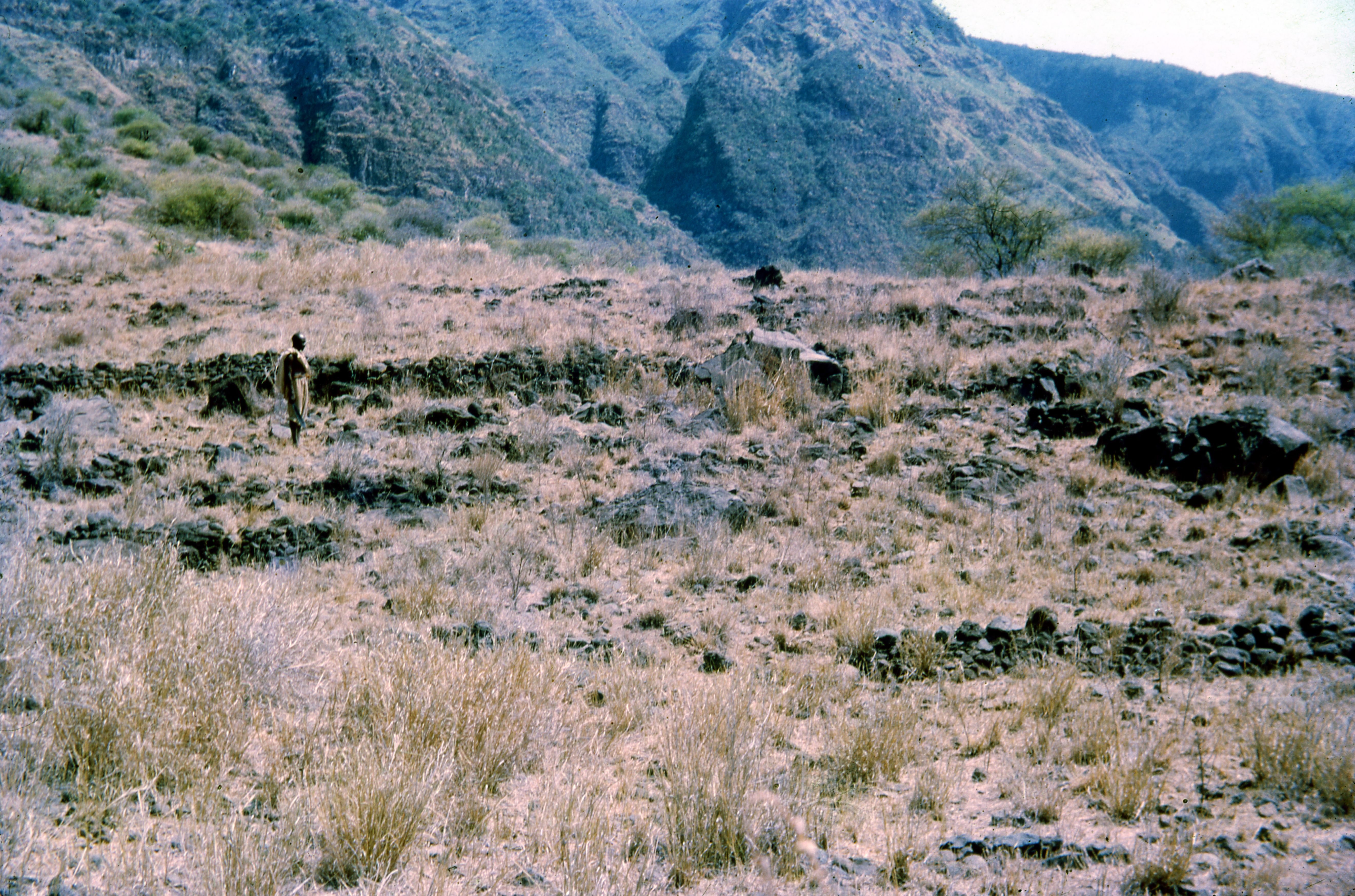
Title: Field divisions Filename: BIEA_Sutton_051.jpg (2 MB) Description: A colourised photo of Field divisions: view SE from northmost village (N side 'intermediate' gorge) |
JPG |
Info
Download |

|
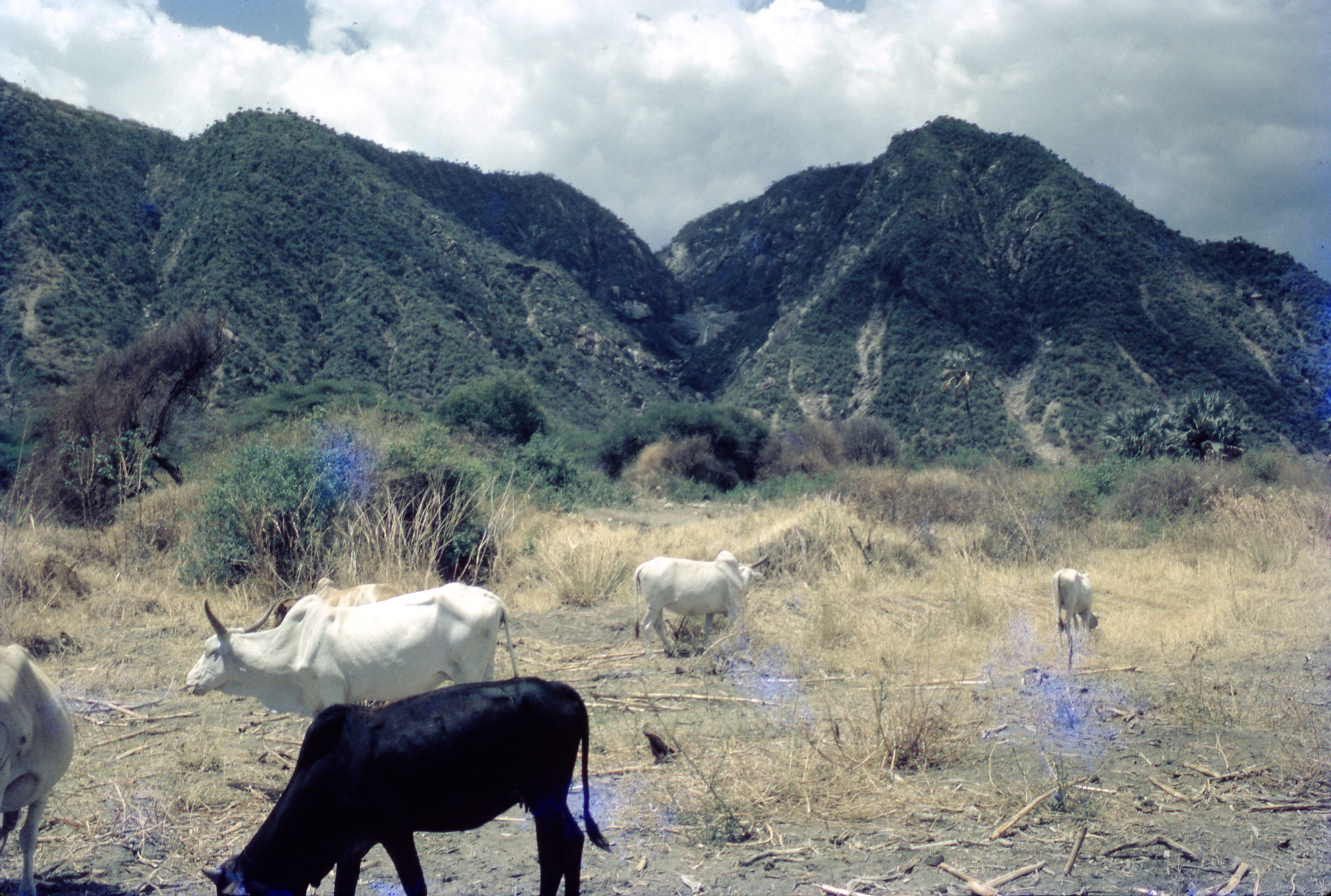
Title: Gisamajeng Tatoga cattle Filename: BIEA_Sutton_078.jpg (1 MB) Description: A colourised photo of Gisamajeng Tatoga cattle |
JPG |
Info
Download |

|
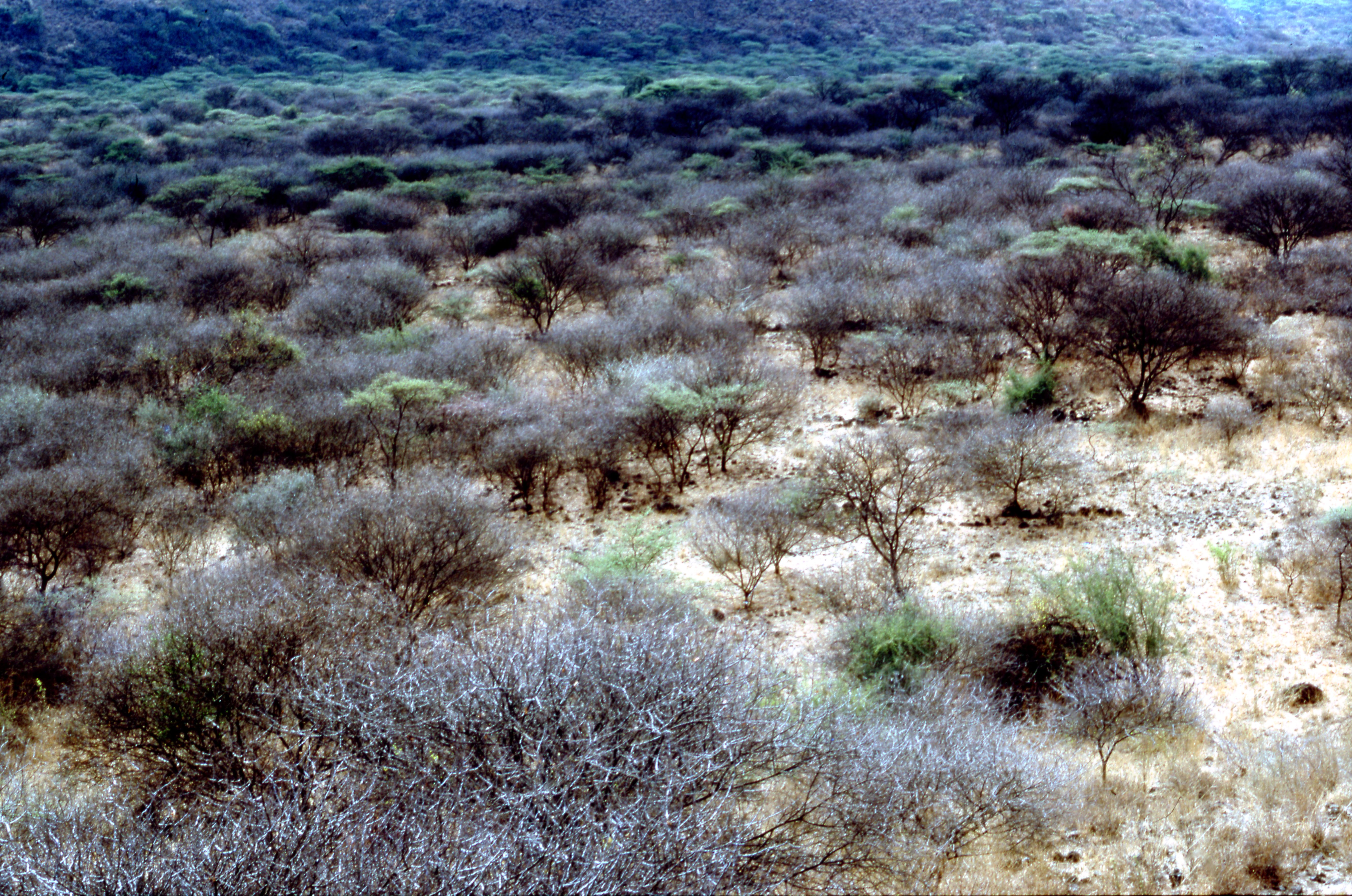
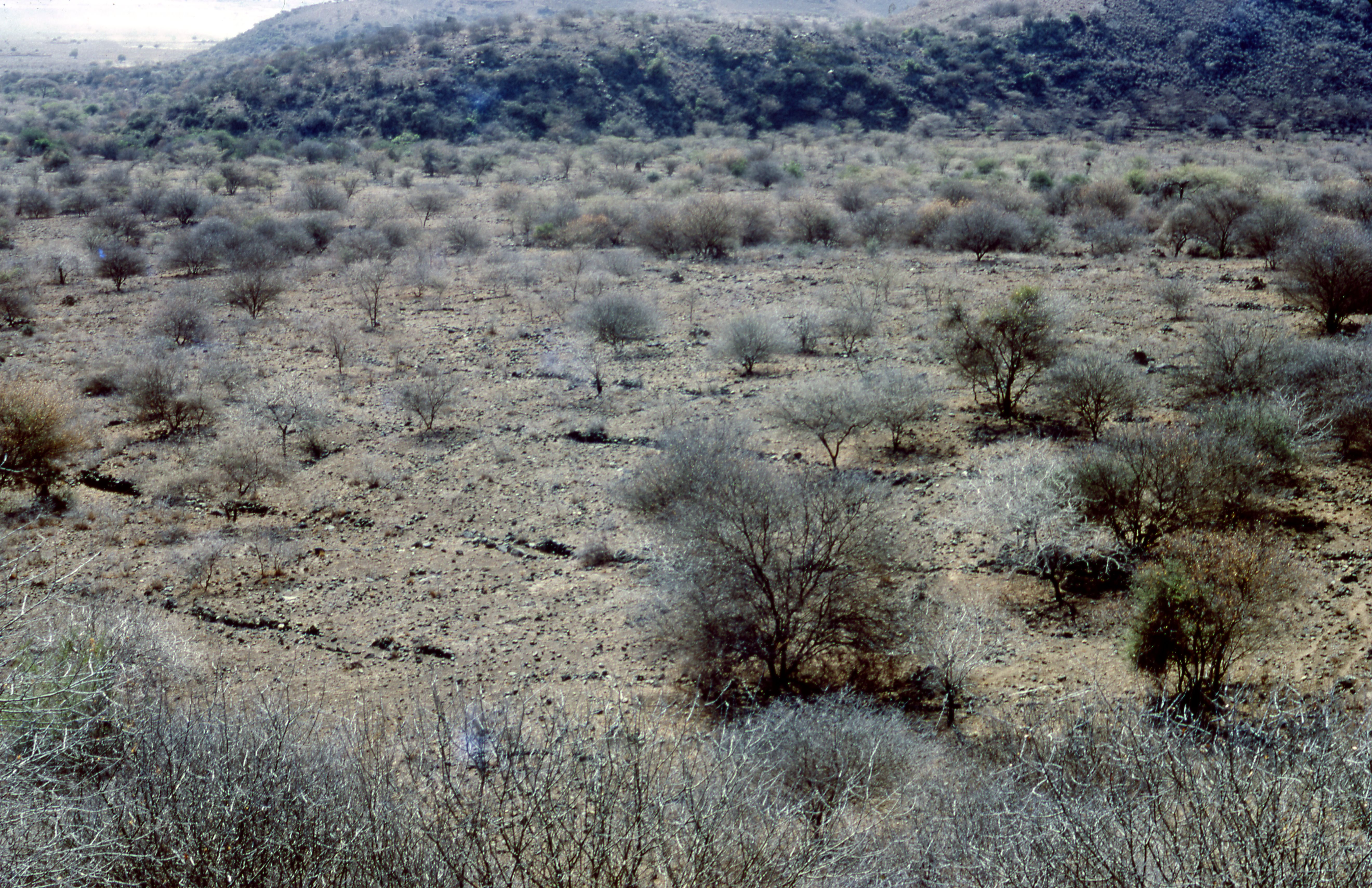
Title: Intermediate North gorge Filename: BIEA_Sutton_050.jpg (1 MB) Description: A colourised photo of Intermediate North gorge |
JPG |
Info
Download |

|
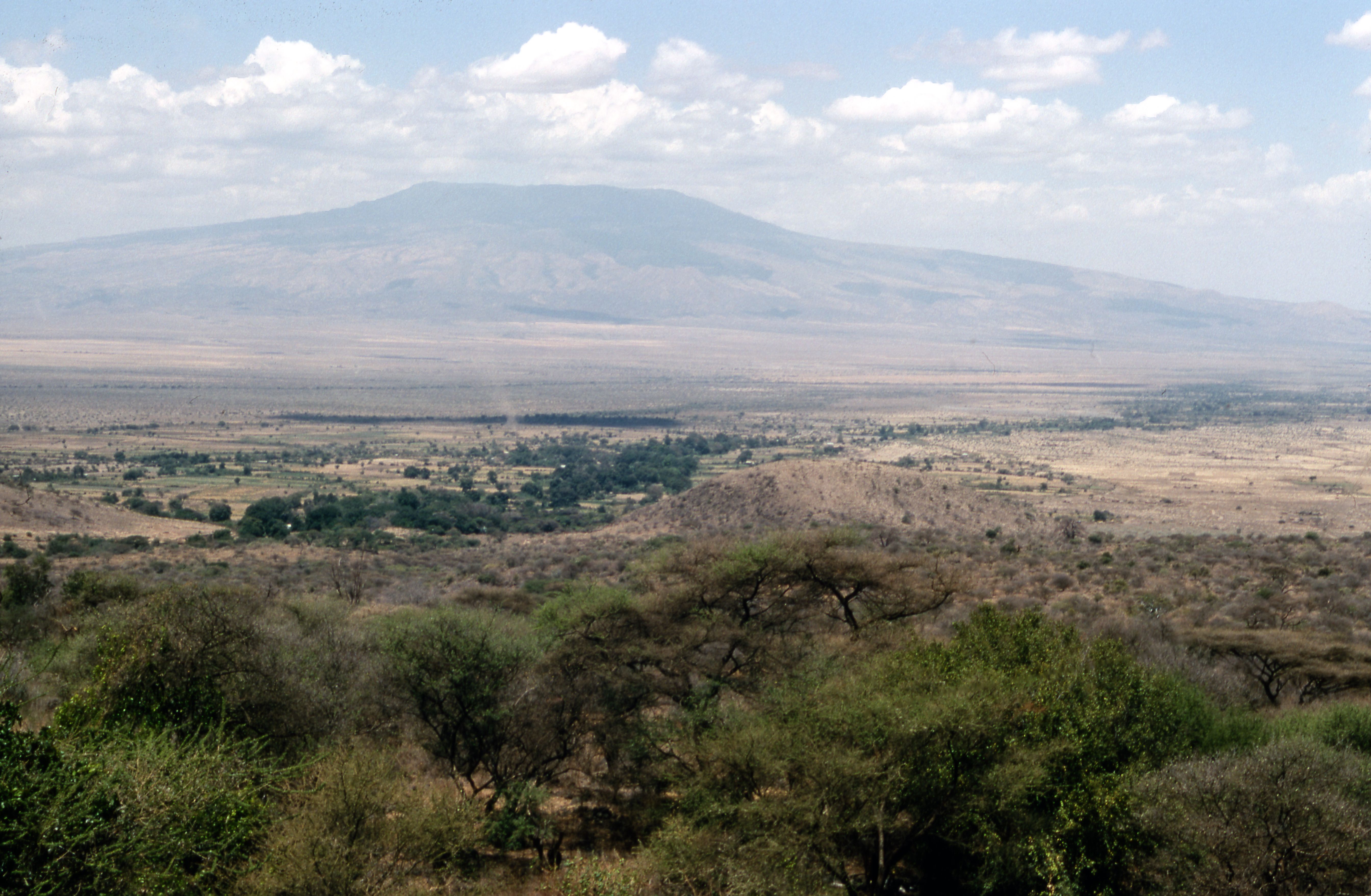
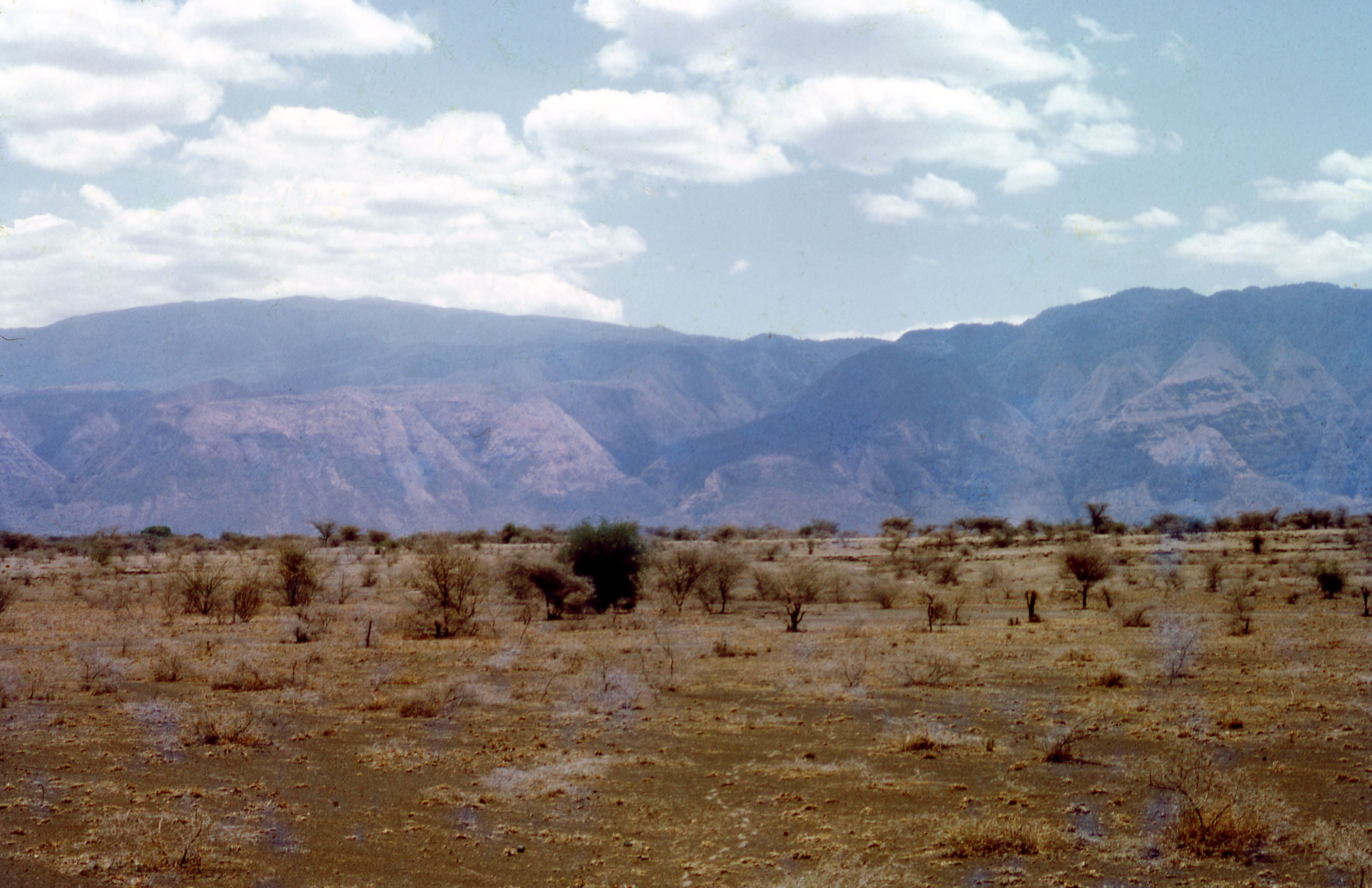
Title: Kitumbeine Filename: BIEA_Sutton_053.jpg (1 MB) Description: A colourised view from escarpment of Engaruka basin, Kitumbeine. |
JPG |
Info
Download |

|
Title: Lolchoro fields Filename: BIEA_Sutton_069.jpg (3 MB) Description: Lolchoro fields |
JPG |
Info
Download |

|
Title: Makuyuni gorge image 1 Filename: BIEA_Sutton_045.jpg (2 MB) Description: A colourised view of Escarpment with Makuyuni gorge, field area to fore |
JPG |
Info
Download |

|
Title: Makuyuni gorge image 2 Filename: BIEA_Sutton_046.jpg (2 MB) Description: A colourised view of Escarpment with Makuyuni gorge, field area to fore (w/a) |
JPG |
Info
Download |

|
Title: Mangola modern irrigation image 1 Filename: BIEA_Sutton_079.jpg (2 MB) Description: Modern irrigation (onions esp.) 1990s |
JPG |
Info
Download |

|
Title: Mangola modern irrigation image 2 Filename: BIEA_Sutton_080.jpg (2 MB) Description: Modern irrigation (onions esp.) 1990s |
JPG |
Info
Download |
 as a JPG image")
|
Title: Oldogom (Lake Eyasi NE) Filename: BIEA_Sutton_076.jpg (2 MB) Description: A colourised photo of Oldogom (Lake Eyasi NE), main and branch furrows taken in 1970s |
JPG |
Info
Download |
 as a JPG image")
|
Title: Oldogom (Lake Eyasi NE) Filename: BIEA_Sutton_077.jpg (3 MB) Description: A colourised photo of Oldogom (Lake Eyasi NE), main and branch furrows taken in 1990s |
JPG |
Info
Download |

|
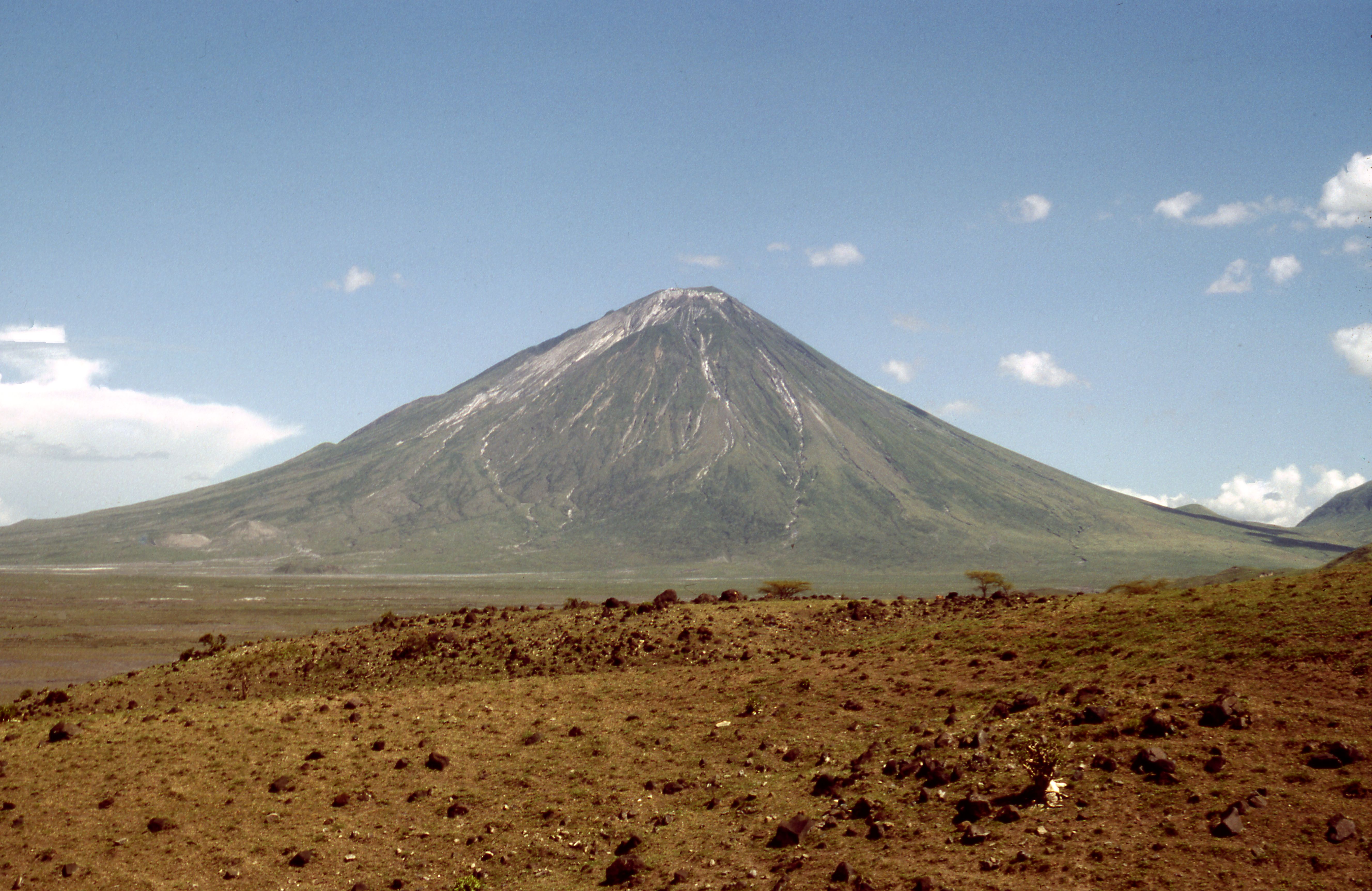
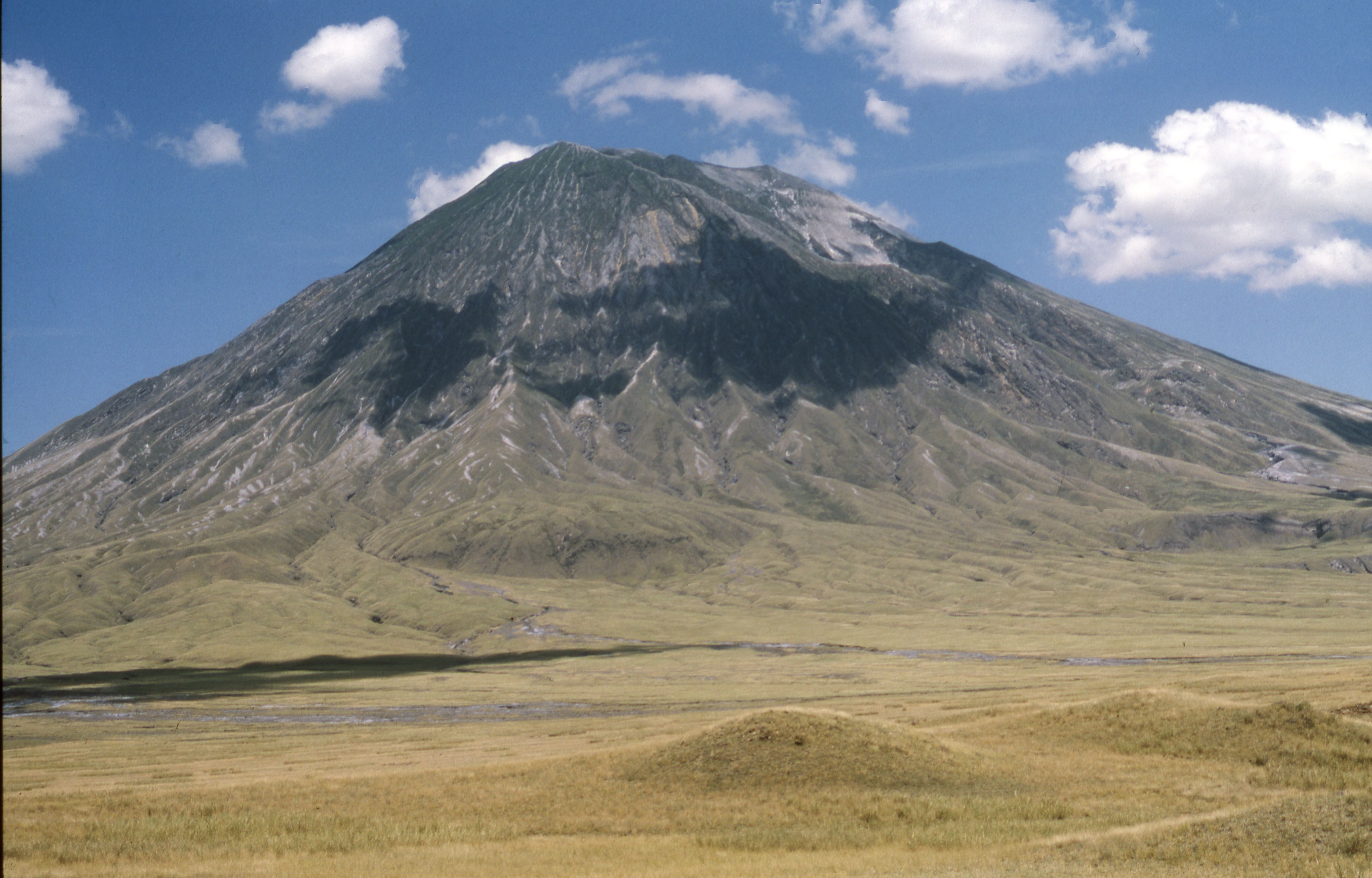
Title: Oldonyo Lengai image 1 Filename: BIEA_Sutton_054.jpg (1 MB) Description: A colourised view of Oldonyo Lengai from the East 1984 |
JPG |
Info
Download |

|
Title: Oldonyo Lengai image 2 Filename: BIEA_Sutton_055.jpg (1 MB) Description: A colourised view of Oldonyo Lengai from the East 1988 |
JPG |
Info
Download |

|
Title: Raised embankment Filename: BIEA_Sutton_068.jpg (2 MB) Description: Raised embankment ('causeway') carrying top N canal across gap in hills |
JPG |
Info
Download |

|
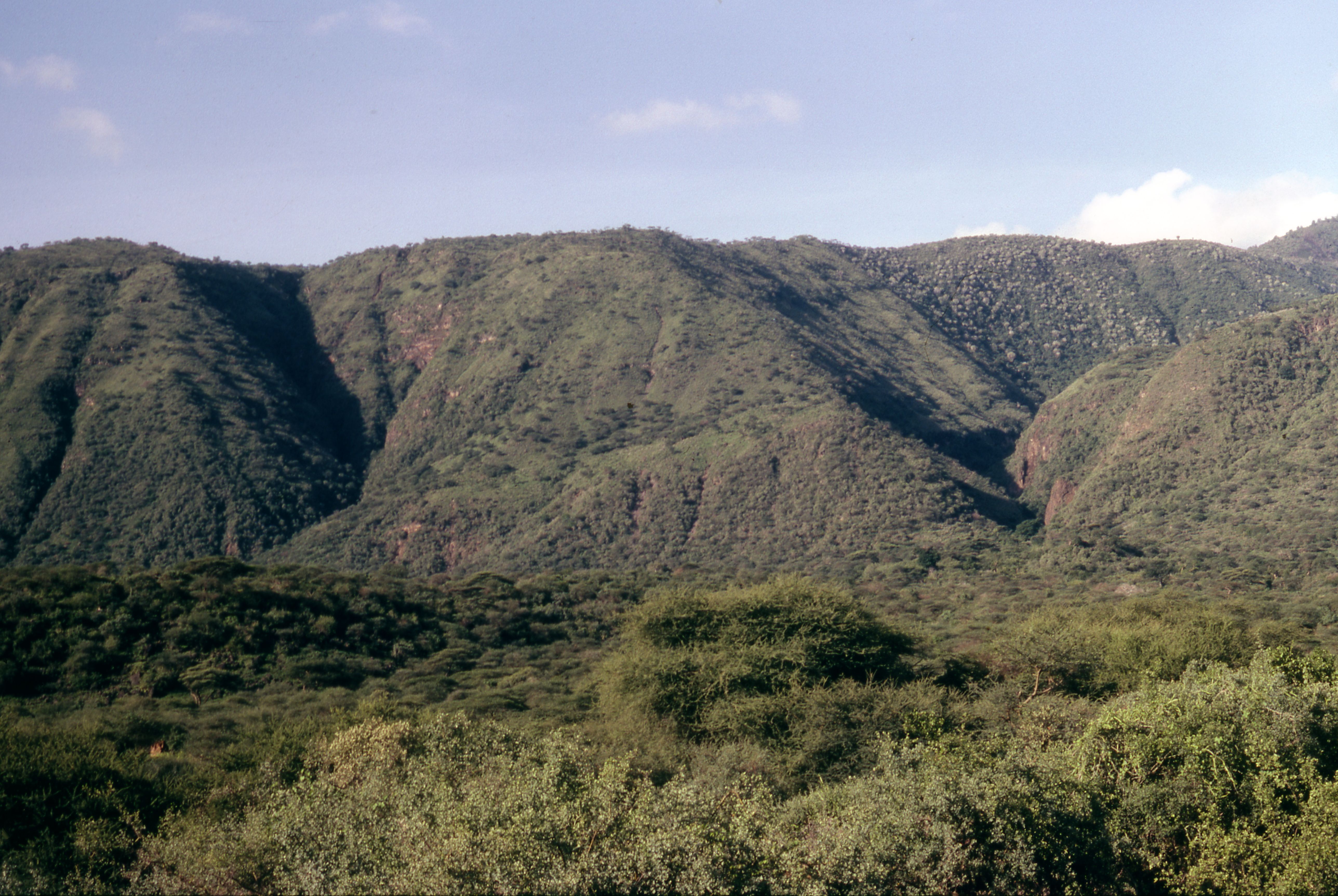
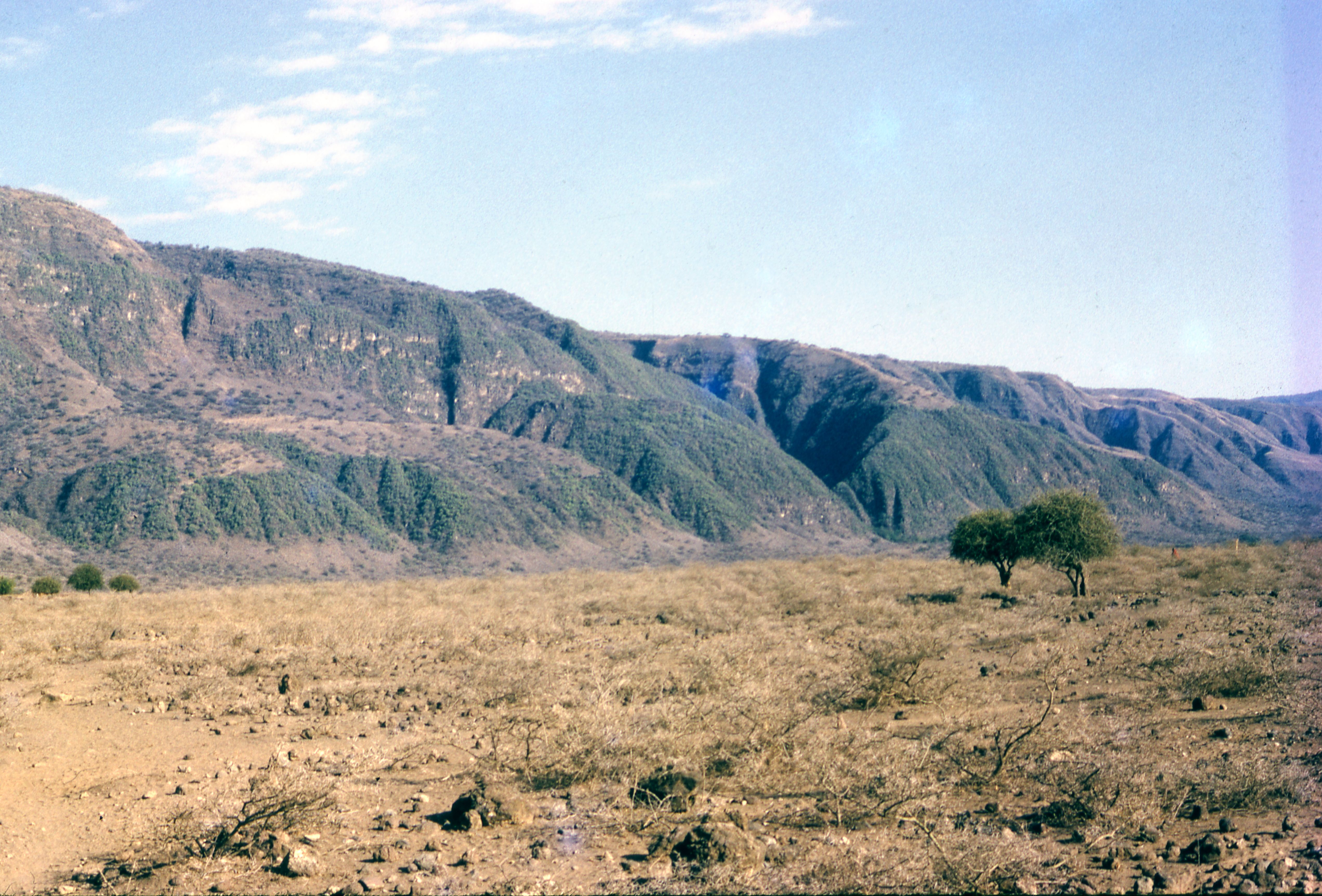
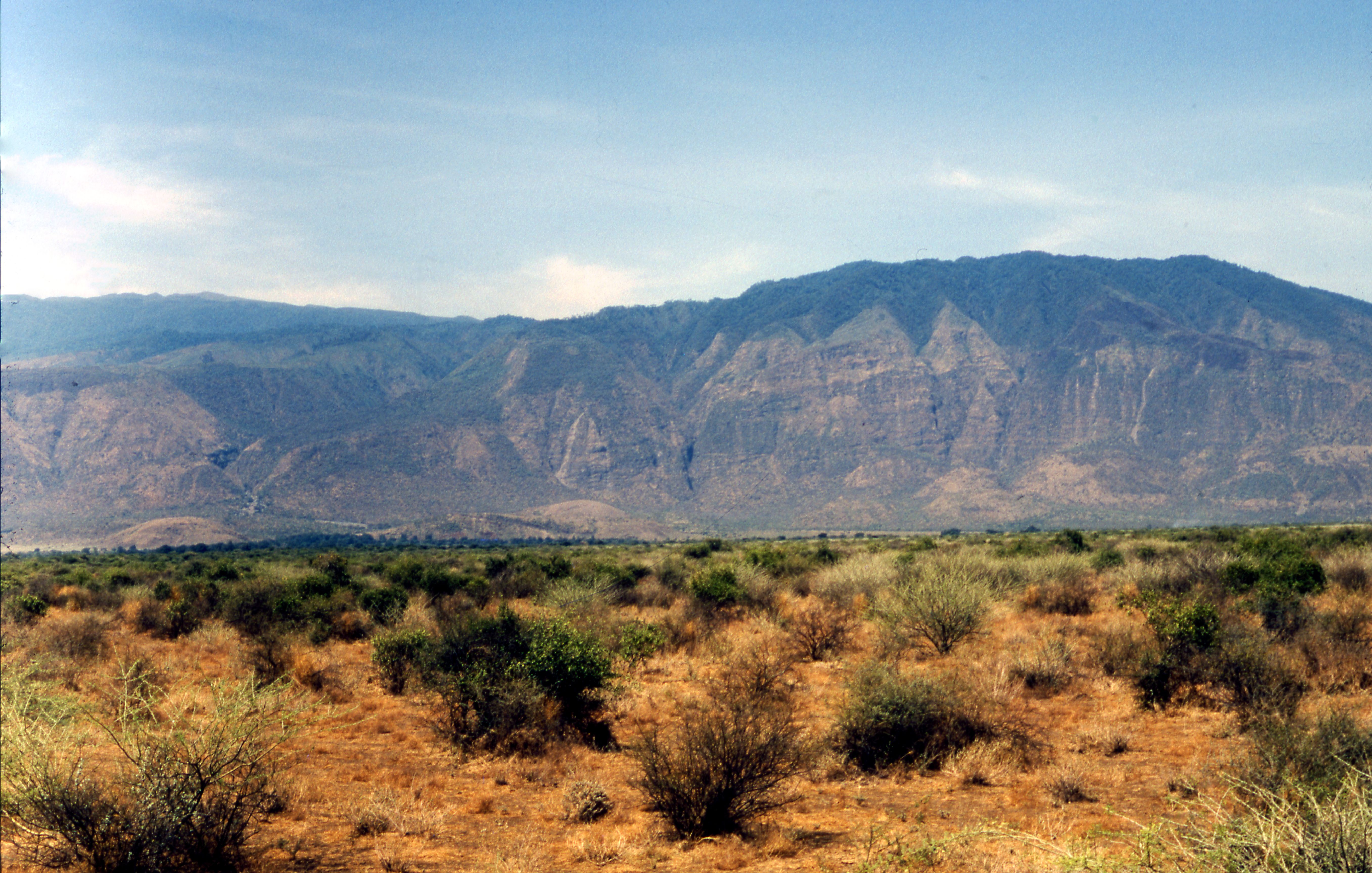
Title: Rift Escarpment, Engaruka Gorge 1972 Filename: BIEA_Sutton_044.jpg (1 MB) Description: A colourised view of the Rift Escarpment, Engaruka Gorge, Lolmalasin from East (w/a) |
JPG |
Info
Download |

|
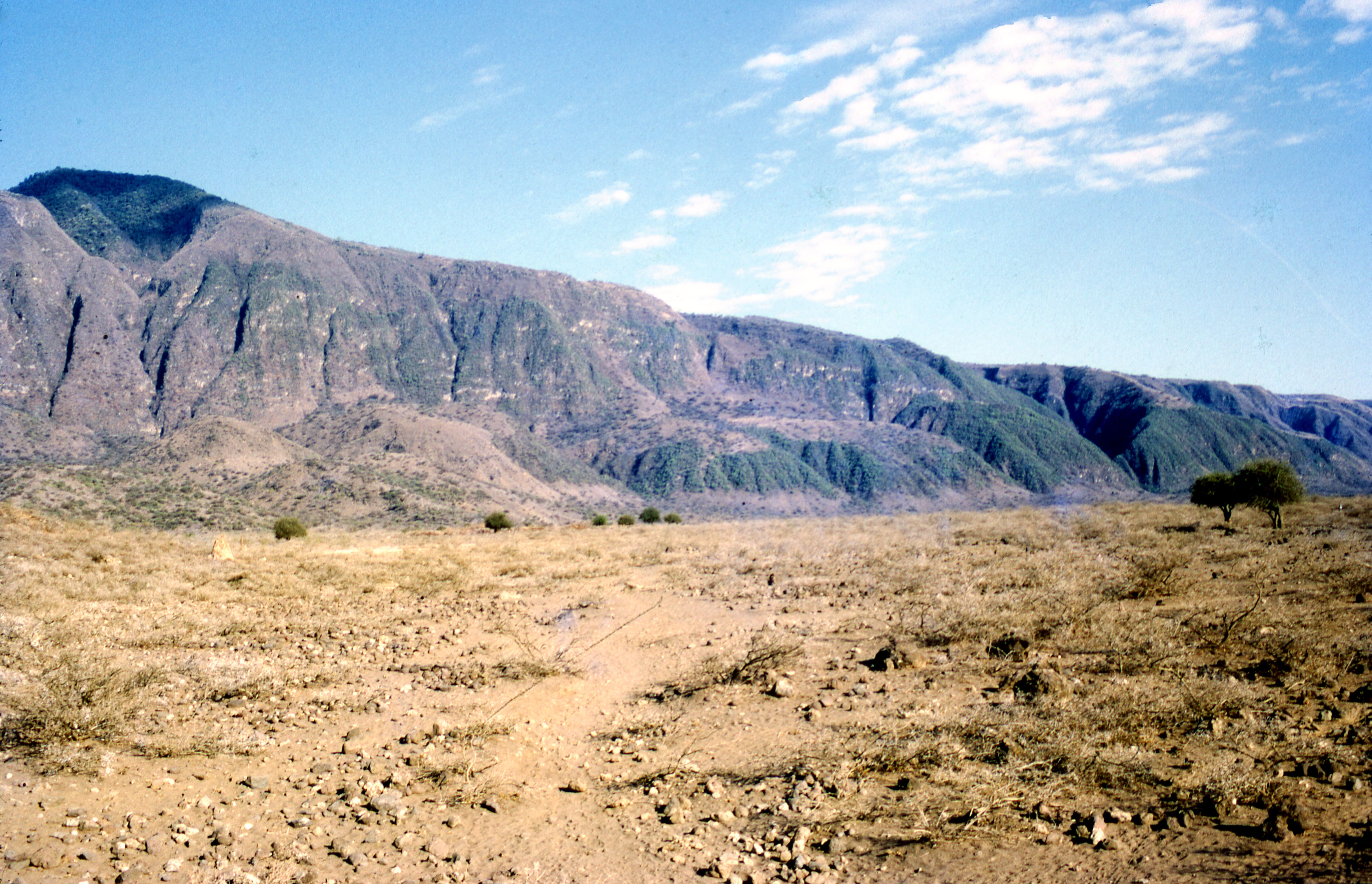
Title: Rift Escarpment, Engaruka Gorge 1999 Filename: BIEA_Sutton_043.jpg (2 MB) Description: A colourised view of the Rift Escarpment, Engaruka Gorge, Lolmalasin from East |
JPG |
Info
Download |

|
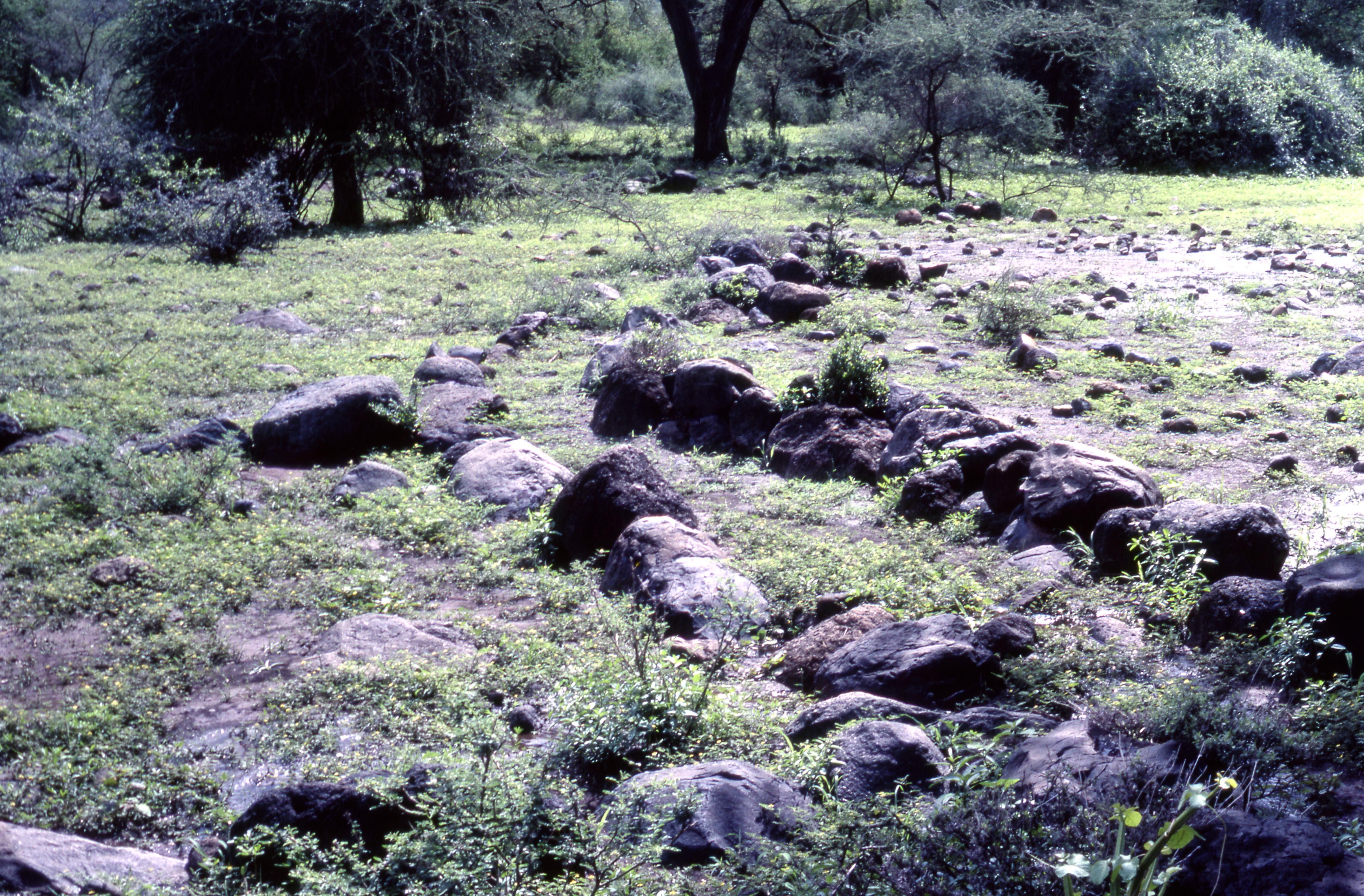
Title: S fields, stone-divided fields and feeder furrows image 1 Filename: BIEA_Sutton_056.jpg (2 MB) Description: A colourised photo of the S fields, stone-divided fields and feeder furrows |
JPG |
Info
Download |

|
Title: S fields, stone-divided fields and feeder furrows image 2 Filename: BIEA_Sutton_057.jpg (3 MB) Description: A colourised photo person crouching by the S fields, stone-divided fields and feeder furrows |
JPG |
Info
Download |

|
Title: S fields, stone-divided fields and feeder furrows image 3 Filename: BIEA_Sutton_058.jpg (2 MB) Description: A colourised photo of the S fields, stone-divided fields and feeder furrows |
JPG |
Info
Download |

|
Title: S fields, stone-divided fields and feeder furrows image 4 Filename: BIEA_Sutton_059.jpg (1 MB) Description: A colourised photo of a person standing by the S fields, stone-divided fields and feeder furrows |
JPG |
Info
Download |

|
Title: S fields, stone-divided fields and feeder furrows image 5 Filename: BIEA_Sutton_060.jpg (2 MB) Description: A colourised photo of a person standing by the S fields, stone-divided fields and feeder furrows |
JPG |
Info
Download |

|
Title: S fields, stone-divided fields and feeder furrows image 6 Filename: BIEA_Sutton_061.jpg (2 MB) Description: A colourised photo of the S fields, stone-divided fields and feeder furrows |
JPG |
Info
Download |

|
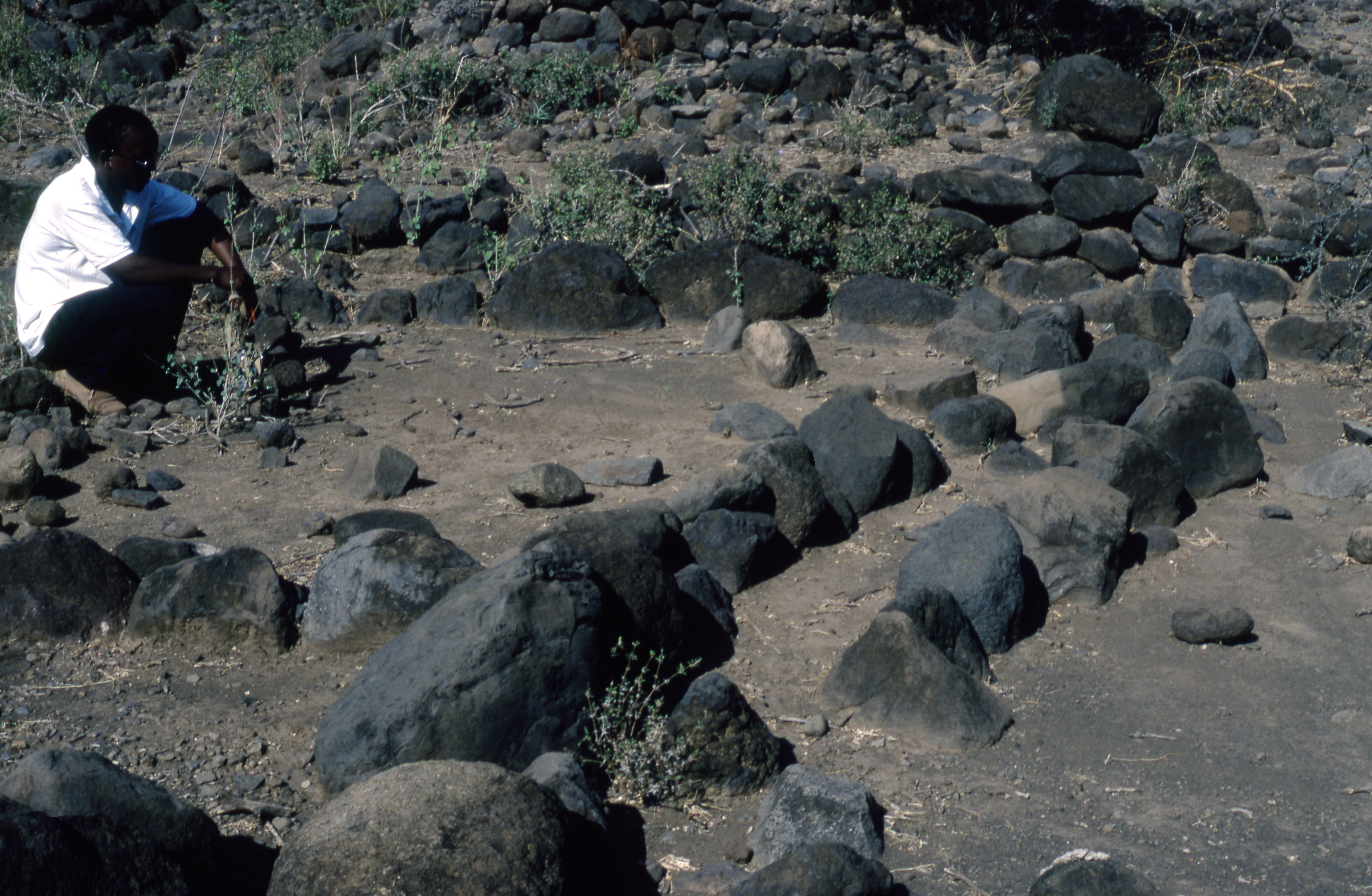
Title: S fields, stone-divided fields and feeder furrows image 7 Filename: BIEA_Sutton_062.jpg (2 MB) Description: A colourised photo of a person crouching by the S fields, stone-divided fields and feeder furrows |
JPG |
Info
Download |

|
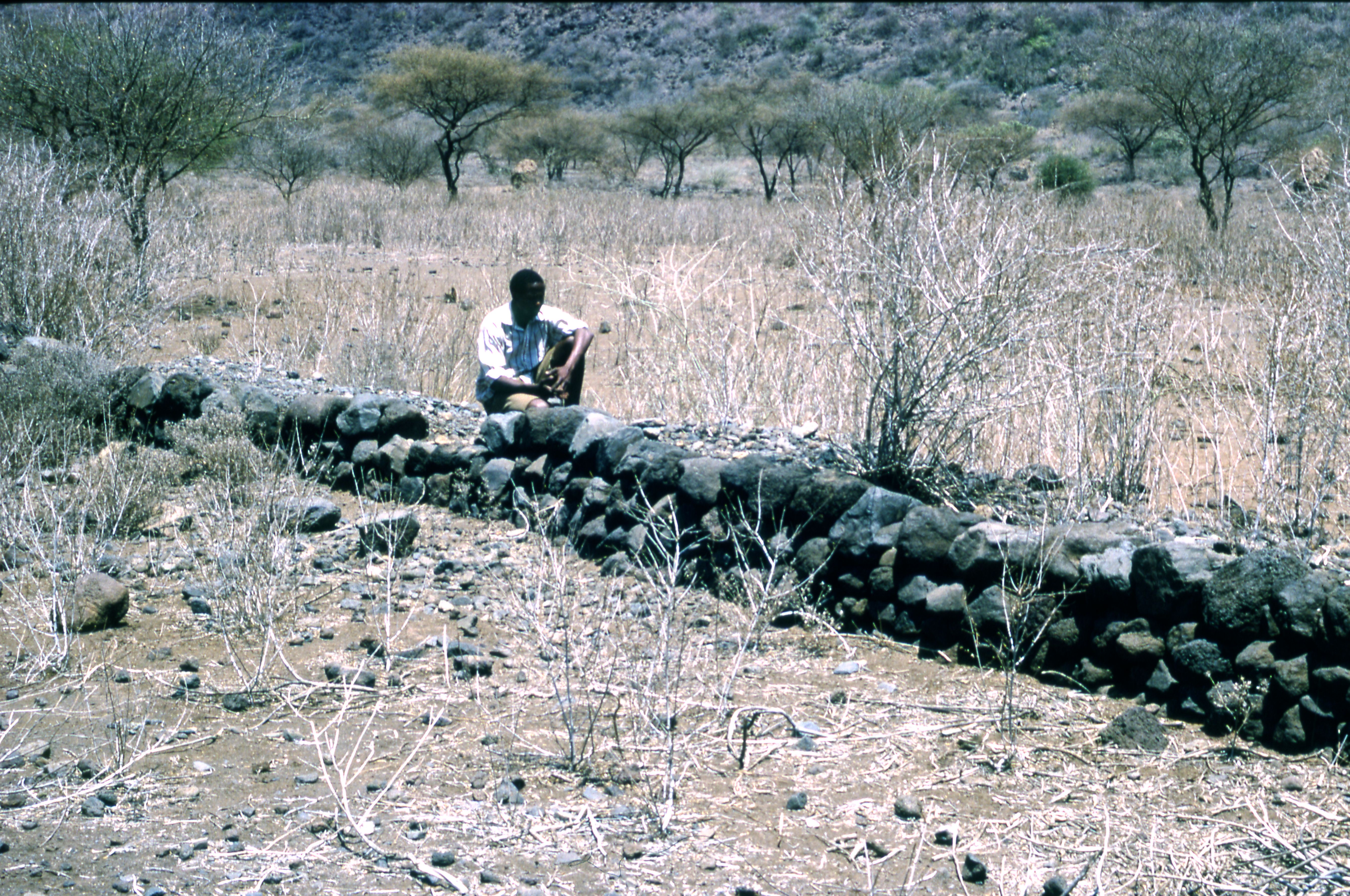
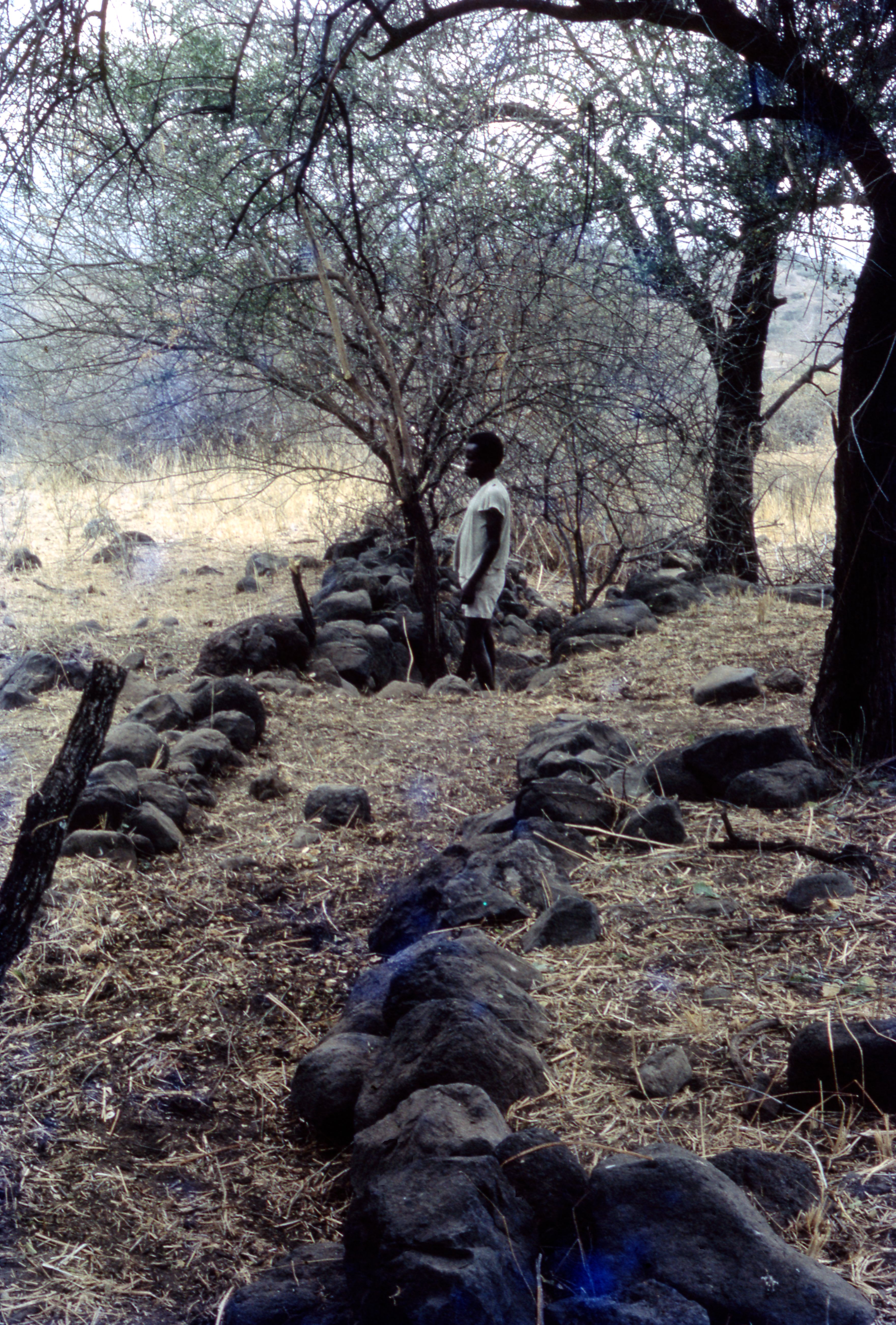
Title: Stone embankment of canal Filename: BIEA_Sutton_065.jpg (2 MB) Description: A colourised photo of Stone embankment for canal, S-central fields |
JPG |
Info
Download |

|
Title: Stone embankment of raised canal Filename: BIEA_Sutton_064.jpg (3 MB) Description: A colourised photo of Stone embankment for raised canal, S-central fields |
JPG |
Info
Download |

|
Title: Stone-lined artery furrow, central fields S of river Filename: BIEA_Sutton_063.jpg (2 MB) Description: A colourised photo of Stone-lined artery furrow, central fields S of river |
JPG |
Info
Download |

|
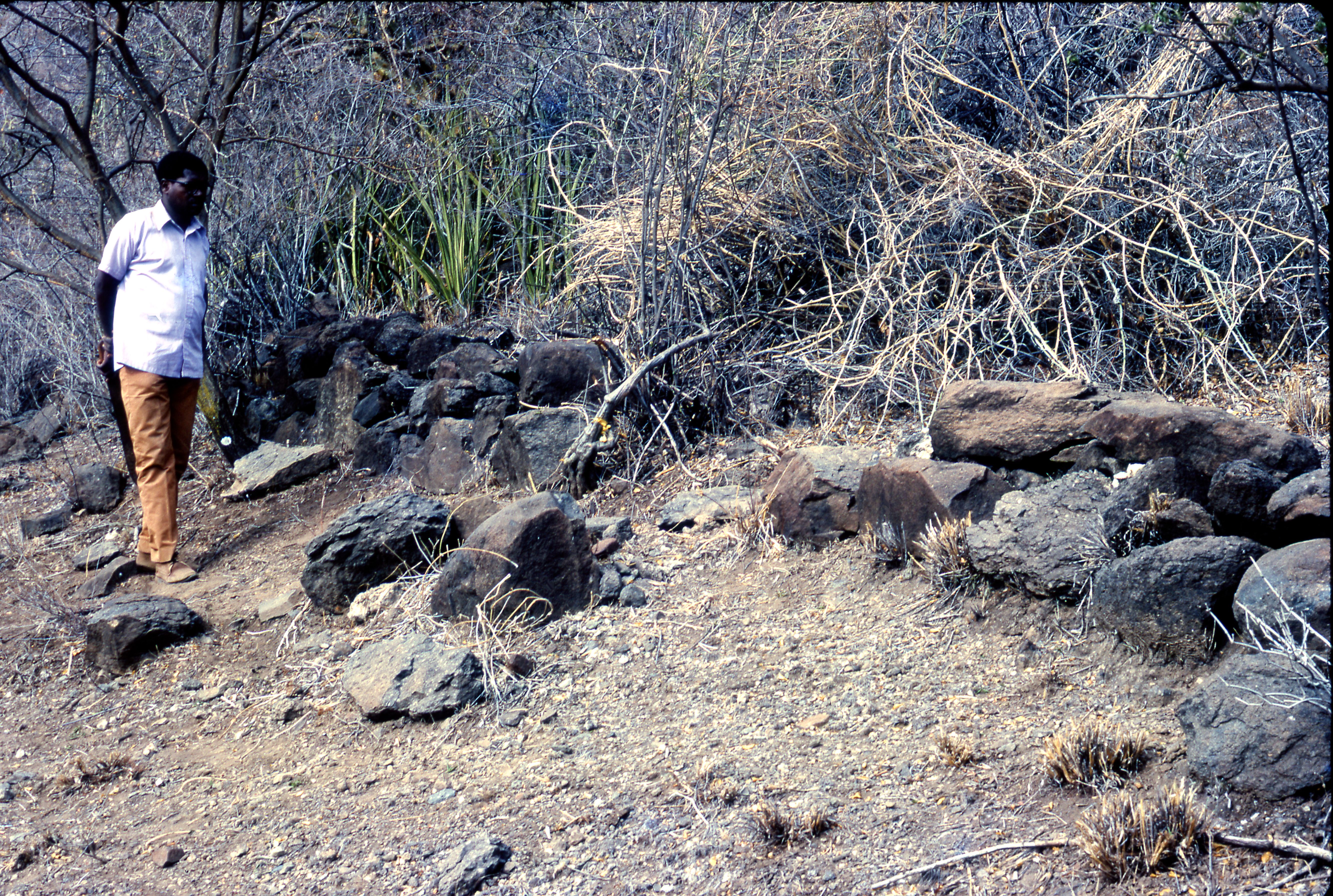
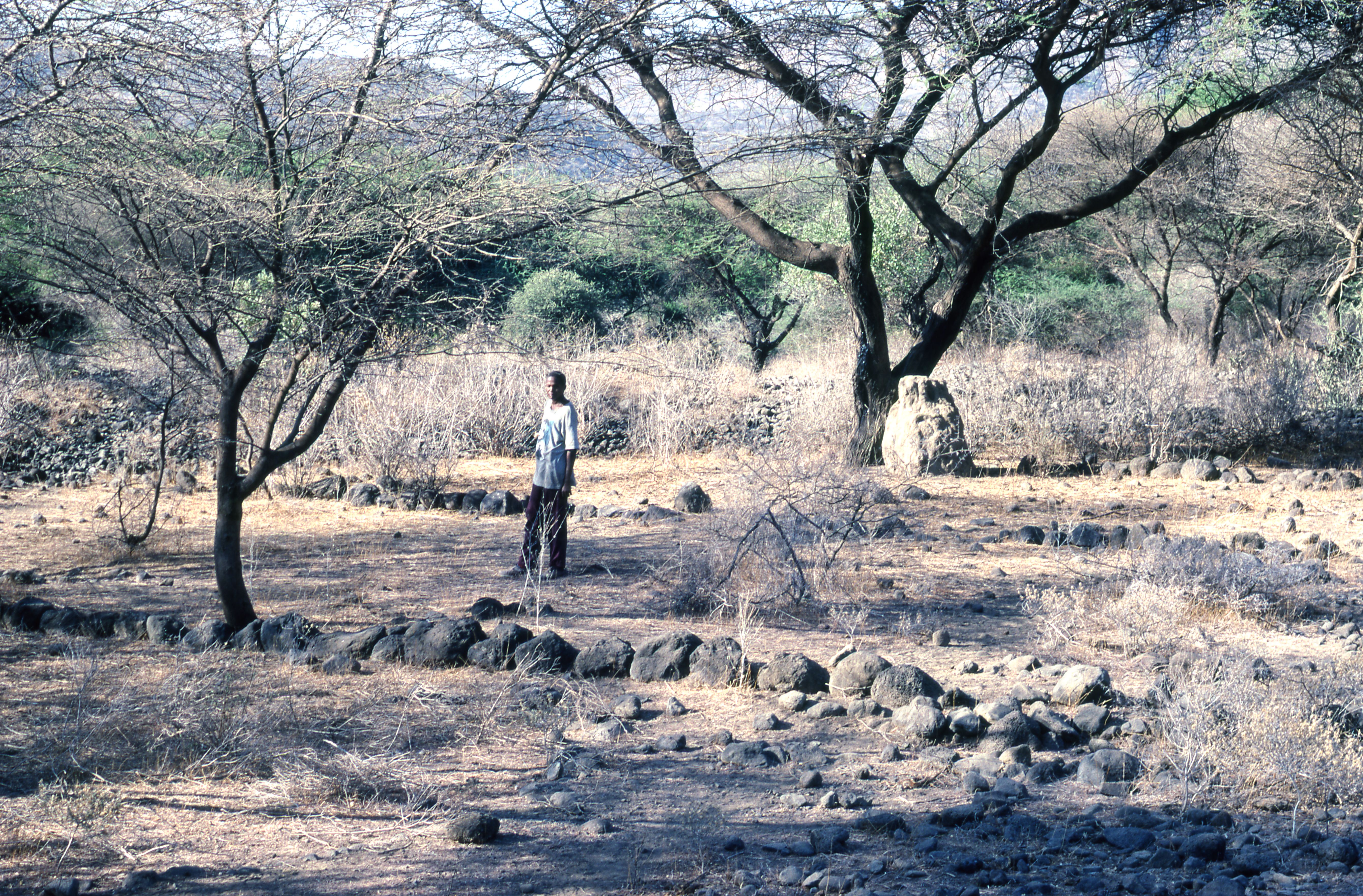
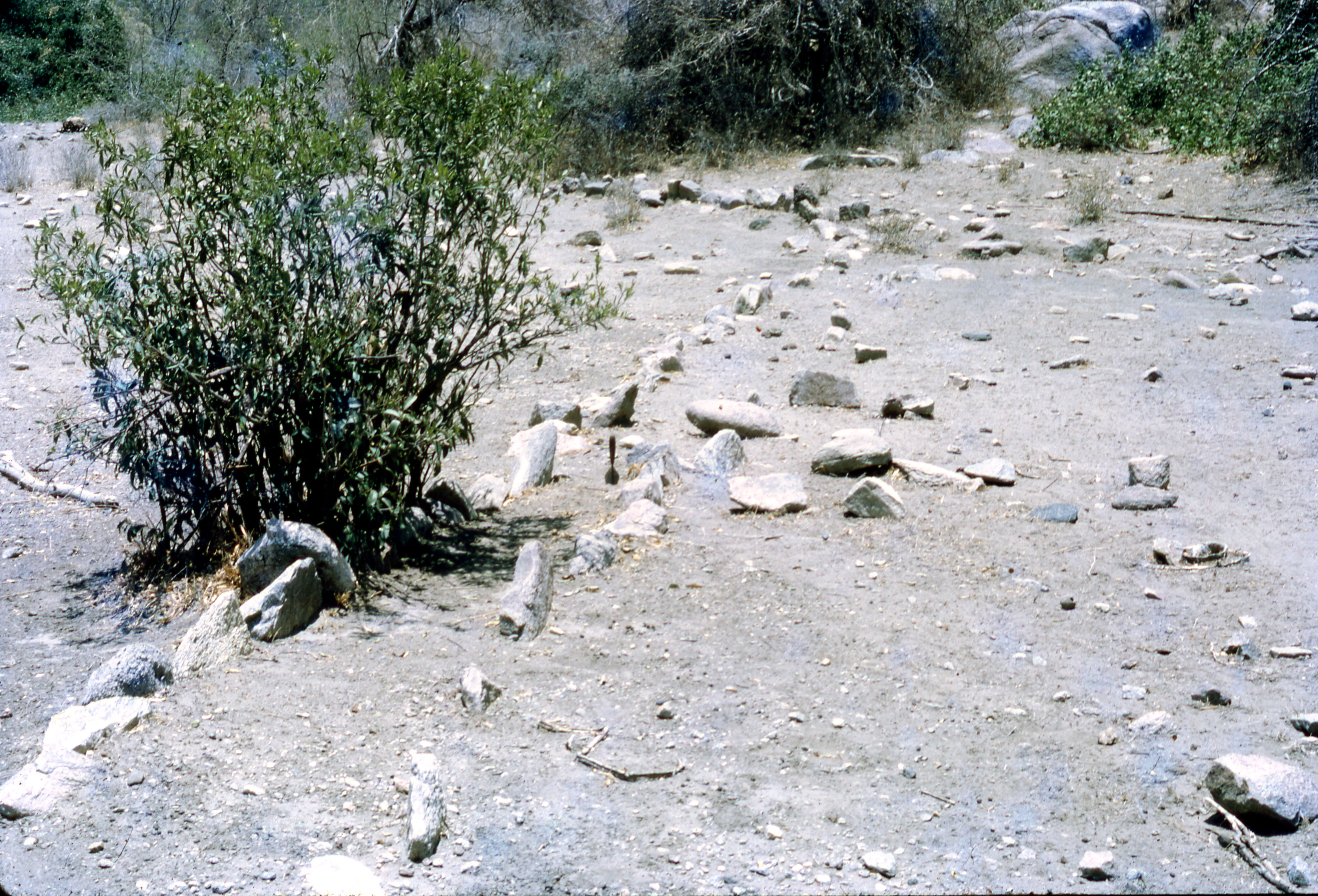
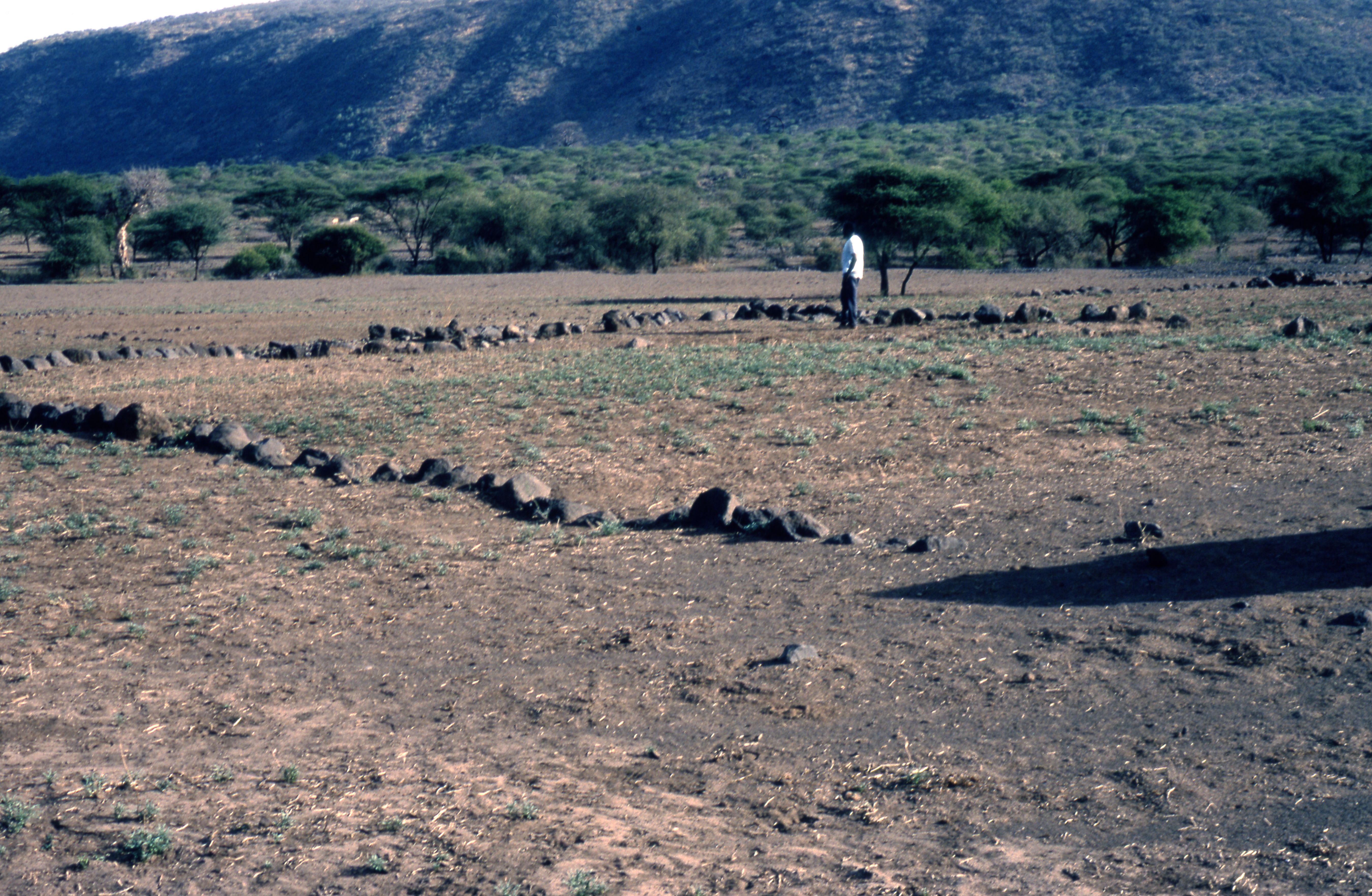
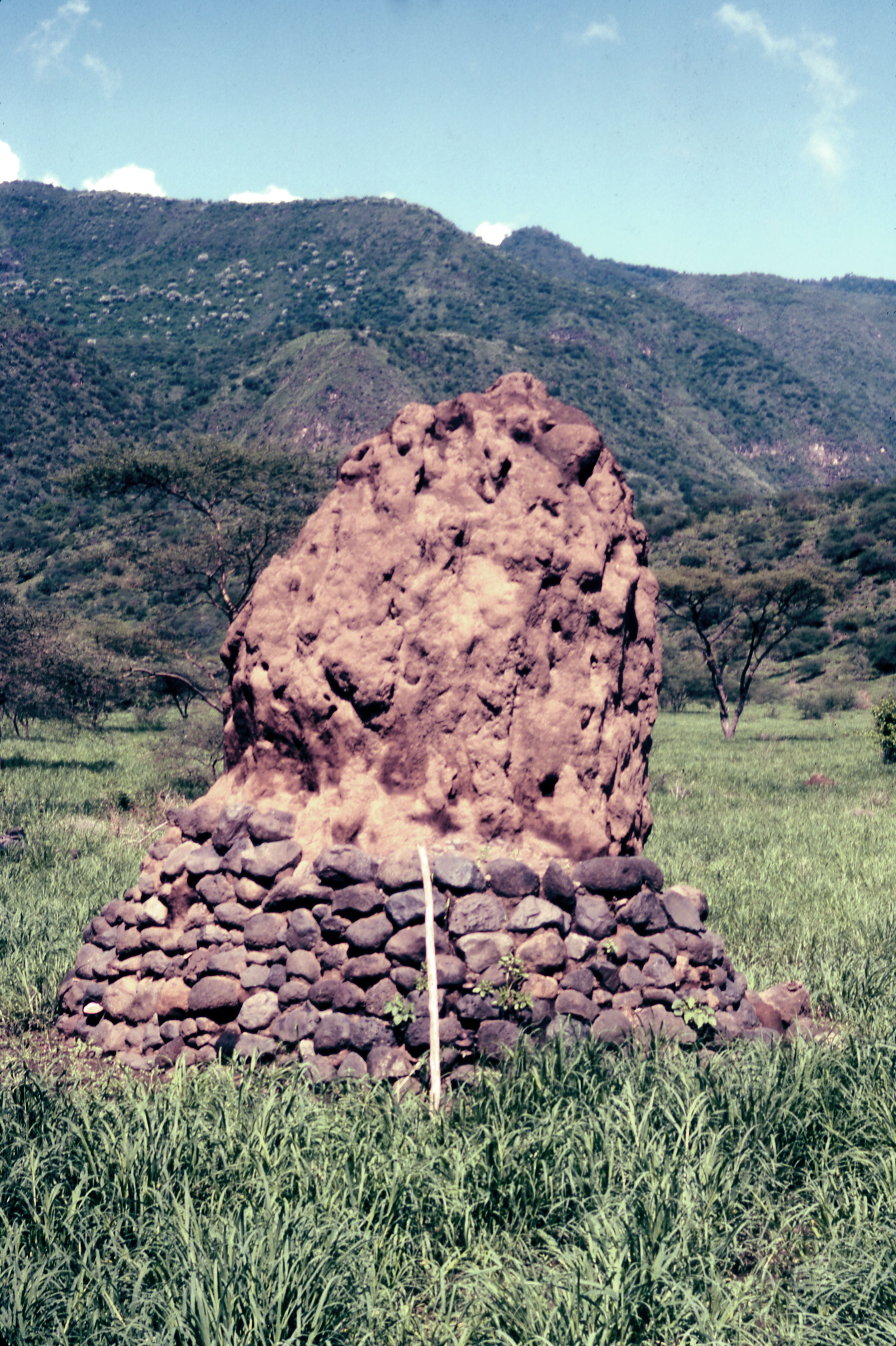
Title: The Cairns Filename: BIEA_Sutton_071.jpg (2 MB) Description: A colourised photo of a the cairns in central/S-cent. field area |
JPG |
Info
Download |
