Historic England National Record of the Historic Environment (NRHE)
Historic England, 2005.
Data copyright © Historic England unless otherwise stated
This work is licensed under the ADS Terms of Use and Access.
Primary contact
Historic England
Kemble Drive
Swindon
SN2 2GZ
England
Tel: 01793 414700
Fax: 01793 414707
Resource identifiers
- ADS Collection: 398
Introduction
The record of England's archaeological and architectural sites held by the National Record of the Historic Environment (NRHE) contains over 400,000 records. It encompasses the historic environment in its widest sense and includes archaeological, architectural and historical sites from earliest times to the present day, covering England and its territorial waters (the 12 mile limit). The data set provides basic information about each site together with sources, archive and activity details as appropriate. Core elements of this data set are presented here.
Background
The record is the result of compilation over a considerable period of time, but it continues to be a dynamic entity, with for example the regular addition of information resulting from Historic England survey programmes. The data set has been derived from the former National Buildings Record (NBR) and National Archaeological Record (NAR).

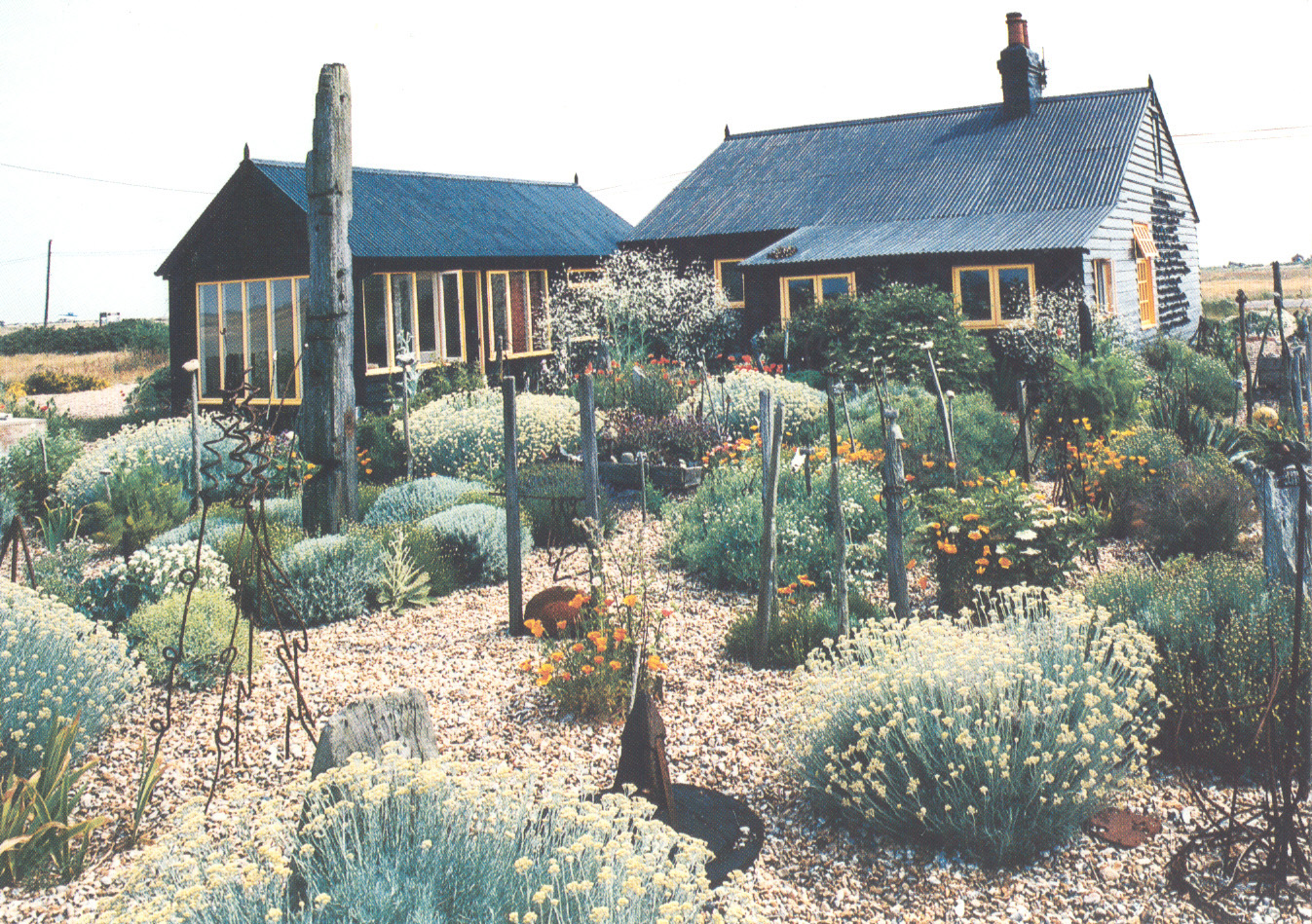
Prospect Cottage, Kent postcard
 The NAR had its origins in the Ordnance Survey (OS). The OS was founded in 1791 and since the earliest days has depicted 'antiquities' on national mapping. OGS Crawford was appointed Archaeology Officer to the OS in 1920 to validate the archaeological input to published maps. He organised a network of local correspondents who provided him with information about new discoveries and with updates to existing records. In 1946 CW Philips took over and further developed the system to comprise a site based card index linked to annotated maps. The record continued to be enhanced under the guidance of an academic committee, new information being derived from published and unpublished sources and comprehensive field investigation. This record was used as the basis for most of the local Sites and Monuments Records established in the 1960s to 1980s. The OS record was transferred to the RCHME in 1983 and computerised, and the NRHE (together with the National Monuments Records for Wales and Scotland) continues to be responsible for the supply of heritage information to the OS for inclusion on their maps.
 In 1990 the RCHME started to record archaeological information in England's coastal waters and in 1992 merged the NBR and NAR to create a unified database (now known as AMIE - Archives Monuments Information England) organised on a monument, event, archive structure (NRHE event records are available elsewhere on the ADS website). Text records are linked to a computerised mapping system or GIS (Geographic Information System) allowing the NRHE to conduct complex text or spatial searches for users.
Information Available Here
The NRHE inventory provides basic site based information and the data presented here comprises a number of core fields from the NRHE AMIE database (the 'what it is' and 'where it is' information). The data set is compiled to clearly defined standards and is compatible with MIDAS (the Manual and Data Standard for Monument Inventories) and uses nationally recognised terminology standards (INSCRIPTION). Further details are available from the NRHE.
The data set currently made available through the ADS will be updated on a regular basis but please contact the NRHE if you would like to check if a more up to date version is available or if you require further details.
Information available here includes (multiple values will be present if applicable):
- Description
- Summary of the site
- Location
- County/District/Parish ? Local Authority details (currently uses pre-1996 boundaries)
NGR - The OS National Grid Reference for the site. This may be to 4, 6 or 8 figures depending on the accuracy of the location - Subject Type
- Monument site type and evidence
- Period
- Historical period
- Id No
- The NRHE unique site record number
Further details of the sites and monuments included here are available from the NRHE together with a wealth of additional information about England's historic environment. Please contact the NRHE Enquiry and Research Services:
Tel 01793 414600
Fax 01793 414606
The NRHE Inventory is also available online at www.pastscape.org.uk


