
Archaeological Evaluation at 488-496 Portsmouth Road, Sholing, Southampton, Hampshire (SOU1727) (OASIS ID: bournemo1-267550)
Jonathan Monteith, Alan Whitaker, 2020. https://doi.org/10.5284/1079014. How to cite using this DOI
Data copyright © Bournemouth Archaeology unless otherwise stated
This work is licensed under a Creative Commons Attribution 4.0 International License.

Primary contact
Bournemouth Archaeology
Bournemouth University
C219 Christchurch House,
Fern Barrow,
Poole
BH12 5BB
Resource identifiers
- ADS Collection: 3658
- DOI:https://doi.org/10.5284/1079014
- How to cite using this DOI
Introduction
From the 30/08/2016 - 01/09/2016 BUARC, Bournemouth University’s archaeological field unit, BUARC, were commissioned by Crestland Homes Ltd. to undertake an archaeological evaluation at 488-496 Portsmouth Road, Sholing, Southampton, in response to planning proposals to demolish two late Victorian houses and mid-20th century dairy facility and construct 25 residential units with associated parking and ancillary buildings under planning application 15/01158/FUL.
The proposed development intends two rows of houses facing inwards to a central access drive with gardens positioned around the perimeter of the site. Groundworks in the form of foundation and service trench excavation will be located mainly but not exclusively to and between the proposed building locations.
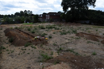
In response to Southampton County Council’s recommendation that an archaeological field evaluation should be undertaken to determine the presence, importance and extent of any archaeological features, and in consultation with Southampton City Council’s Historic Environment Team, a Written Scheme of Investigation was prepared by BUARC proposing a total of five evaluation trenches positioned at strategic locations around the development area to target areas in which proposed development groundworks had potential to cut below modern overburden and potentially disturb previously unknown archaeological deposits and features.
The project has demonstrated that late Victorian and mid-20th century deposits were present, including a wall, soak away, postholes, pits, possible ditches, service trenches and a pipe trench which were recorded in Trenches 1-5. Comparison of these trenches with historic mapping has identified that these features correlate directly to previous standing buildings which were recently demolished prior to the archaeological evaluation commencing.
Four features of uncertain date were recorded cutting the natural, three of which were only partially expose within the trenches and potentially represent the earliest features recorded on-site. Two of the features were possible ditch termini recorded in Trench 4 and two pit features which were recorded in Trench 2. No cultural material was retrieved from these features. A layer above these features contained CBM material and has been interpreted as a Victorian garden soil providing a terminus ante quem for these features.
