
Bower Road, Smeeth, Kent - Integrated Site Report
Oxford Archaeology (South), 2009. (updated 2017) https://doi.org/10.5284/1044823. How to cite using this DOI
Data copyright © High Speed 1 unless otherwise stated
This work is licensed under the ADS Terms of Use and Access.

Primary contact
Stuart
Foreman
Senior Project Manager
Oxford Archaeology (South)
Janus House
Osney Mead
Oxford
OX2 0ES
UK
Tel: 01865 263800
Fax: 01865 793496
Resource identifiers
- ADS Collection: 2469
- DOI:https://doi.org/10.5284/1044823
- How to cite using this DOI

Downloads
Post-Excavation Assessment
Reports
| Project Area 440 Bower Road, Smeeth, Kent (ARC 440 95+900 - 97+100/99) Watching Brief SDI Assessment Report - Final (BOW_PXAssessment_combined.pdf) |
1 Mb | |
| Frontcover (BOW_PXAssessment_cover.pdf) |
599 Kb | |
| Project Area 440 Bower Road, Smeeth, Kent (ARC 440 95+900 - 97+100/99) Watching Brief SDI Assessment Report - Final (BOW_PXAssessment_text.pdf) |
2 Mb | |
| Figure 1: Location of Bower Road and associated watching brief (BOW_PXAssessment_Fig001.pdf) |
838 Kb | |
| Figure 2: Site plan showing the extent of excavations (BOW_PXAssessment_Fig002.pdf) |
87 Kb | |
| Figure 3: Interpretative site plan showing the phases of occupation (BOW_PXAssessment_Fig003.pdf) |
124 Kb | |
| Figure 4: The 19-Post building (BOW_PXAssessment_Fig004.pdf) |
61 Kb | |
| SMR sheet (BOW_PXAssessment_SMR.pdf) |
76 Kb | |
| Summary Report (BOW_PXAssessment_summary.pdf) |
60 Kb |
Spreadsheets
| BOW_PXAssessment_WB440_96_and_100_data | ||
| Animal Bone Assessment (WB440 96 +100) | CSV | 2 Kb |
| Archive (WB440 96 +100) | CSV | 1 Kb |
| Bulk (WB440 96 +100) | CSV | 12 Kb |
| CBM Assessment (WB440 96 +100) | CSV | 4 Kb |
| Context (WB440 96 +100) | CSV | 58 Kb |
| CPR Assessment (WB440 96 +100) | CSV | 1 Kb |
| Cremated Human Bone Assessment (WB440 96 +100) | CSV | 1 Kb |
| Environmental (WB440 96 +100) | CSV | 4 Kb |
| Event (WB440 96 +100) | CSV | 2 Kb |
| Finds (WB440 96 +100) | CSV | 5 Kb |
| Fired Clay Assessment (WB440 96 +100) | CSV | 2 Kb |
| Flint Assessment (WB440 96 +100) | CSV | 3 Kb |
| Glass Assessment (WB440 96 +100) | CSV | 1 Kb |
| Graphical (WB440 96 +100) | CSV | 7 Kb |
| Group (WB440 96 +100) | CSV | 1 Kb |
| Metalwork Assessment (WB440 96 +100) | CSV | 8 Kb |
| Molluscs Assessment (WB440 96 +100) | CSV | 1 Kb |
| Phase (WB440 96 +100) | CSV | 1 Kb |
| Pottery Assessment (WB440 96 +100) | CSV | 11 Kb |
| Shell Assessment (WB440 96 +100) | CSV | 2 Kb |
| Site (WB440 96 +100) | CSV | 1 Kb |
| Slag Assessment (WB440 96 +100) | CSV | 1 Kb |
| Sub-group (WB440 96 +100) | CSV | 2 Kb |
| Unburnt Human Bone Assessment (WB440 96 +100) | CSV | 1 Kb |
| Unworked Burnt Stone Assessment (WB440 96 +100) | CSV | 1 Kb |
Drawings
|
Figure 2: Site plan (BOW_PXAssessment_Fig002) |
67 Kb | |
| DXF | 841 Kb | |
| DWG | 190 Kb |
Images
 as a JPG image")
|
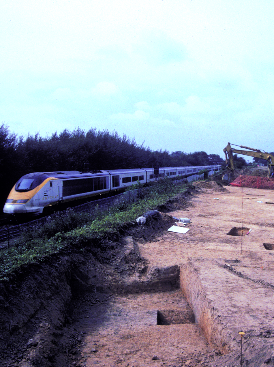
Coverplate (BOW_PXAssessment_coverplate.jpg) |
JPG | 1.77 Mb |
 as a JPG image")
|
Figure 2: Site plan showing the extent of excavations (BOW_PXAssessment_Fig002_2.jpg) |
JPG | 689 Kb |
