
Defence of Britain Archive
Council for British Archaeology, 2002. (updated 2006) https://doi.org/10.5284/1000327. How to cite using this DOI
Data copyright © Council for British Archaeology unless otherwise stated
This work is licensed under the ADS Terms of Use and Access.

Primary contact
Council for British Archaeology
92 Micklegate
York
YO1 6JX
England
Tel: +44 (0)1904
Fax: 671417
Resource identifiers
- ADS Collection: 324
- DOI:https://doi.org/10.5284/1000327
- How to cite using this DOI
Type 27 pillbox plotted from air photograph. Faces SSE.
(Source: Air Photograph 1946/01/15)
Pillbox with AA capability [plotted from German aerial photograph].
(Source: Air Photograph 1940)
Type 27 pillbox, with entry porch, plotted from OS 1:2500 sheet. Faces SE.
(Source: Map 1955)
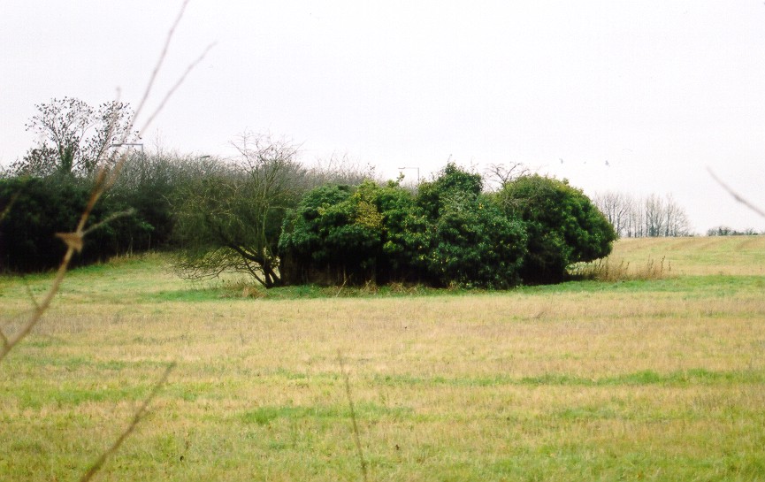
Brick-shuttered pillbox in field, heavily overgrown. Viewed from a distance, and unable to make out its exact form. No access without trespass.
(Source: Field Visit 2003/12/05)
| Type of site | PILLBOX (TYPE FW3/27) |
|---|---|
| Location | In field W of Reigate Road (A240) and N of the A2022 College Road to Epsom. |
| Area |
Epsom, Surrey, England |
| Grid reference |
TQ 23031 60213
(Scale: 1:2500
, 1955)
|
| Period | WW2 |
| Condition | Fair |
| Materials | Clay Brick, Reinforced Concrete |
| Threats |
Type: Plant growth (Long Term) Detail: The pillbox is heavily overgrown. |
| Recorder | Foot, William (English Heritage Defence Areas Project) |
| Defence grouping |
London Stop Line: Outer - Line A (outer suburbs) of London defence rings. |
| Photographs |
|
| DOB site reference: | S0016790 |
| Reference |
1946/01/15 3G/TUD/UK/27 (fr.5297) 1940/10/23 Taktisches Luftbildbuch Nr.3 |
| Event |
Field Visit, On 2003/12/05 Construction, Between 1940/06 1940/10 |
