
Defence of Britain Archive
Council for British Archaeology, 2002. (updated 2006) https://doi.org/10.5284/1000327. How to cite using this DOI
Data copyright © Council for British Archaeology unless otherwise stated
This work is licensed under the ADS Terms of Use and Access.

Primary contact
Council for British Archaeology
92 Micklegate
York
YO1 6JX
England
Tel: +44 (0)1904
Fax: 671417
Resource identifiers
- ADS Collection: 324
- DOI:https://doi.org/10.5284/1000327
- How to cite using this DOI
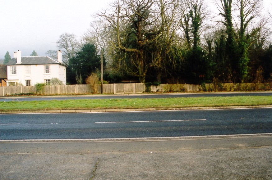
Roadblock plotted from air photograph, with four anti-tank blocks between the two carriageways of the road, with four more on the W side and at least two on the E. [By August 1944 the roadblock had been removed].
(Source: Air Photograph 1941/04/16)
Site of roadblock plotted from German map.
(Source: Map 1941/06/01)
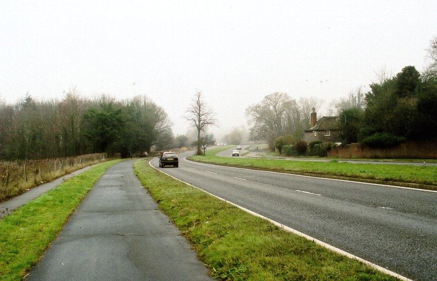
Field visit confirms no survival.
(Source: Field Visit 2003/12/09)
| Type of site | ROADBLOCK |
|---|---|
| Location | On London Road (A24), just S of drive to 'Boxlands', N of Dorking. |
| Area |
Dorking, Surrey, England |
| Grid reference |
TQ 1705 5111
|
| Period | WW2 |
| Condition | Removed |
| Materials | Concrete |
| Recorder | |
| Defence grouping |
GHQ Line (Berkshire/Hampshire/Surrey/Kent) - West - East section of GHQ Line running from Reading through Hampshire and West Surrey to Kent (Leigh) following in part a line south of the North Downs. Dorking Gap defences - Defences (associated with the GHQ Line) of the Dorking Gap (valley of the River Mole passing between the North Downs). |
| Photographs |
|
| DOB site reference: | S0016819 |
| Reference |
1941/06/01 Sheet (Blatt) 124 1941/04/16 26H/UK1452 (fr.4349) |
| Event |
Construction, By 1941/04 Destruction, By 1944/08 Field Visit, On 2003/12/09 |
