
Building the evidence base for Historic Farmsteads in Greater Lincolnshire
Jeremy Lake, Adam Partington, 2015. https://doi.org/10.5284/1035172. How to cite using this DOI
Data copyright © Historic England unless otherwise stated
This work is licensed under the ADS Terms of Use and Access.

Primary contact
Adam
Partington
Locus Consulting
Park Lane House
5 Park Lane
Donington
Lincolnshire
PE11 4UE
Resource identifiers
- ADS Collection: 2128
- DOI:https://doi.org/10.5284/1035172
- How to cite using this DOI

Downloads
Listed
GIS
| GIS metadata | CSV | 43 Kb |
|
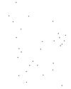
Map of traditonal listed farmsteads in Greater Lincolnshire dating to the 16th century | ZIP | 4 Kb |
|
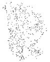
Map of traditonal listed farmsteads in Greater Lincolnshire dating to the 17th century | ZIP | 11 Kb |
|
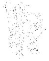
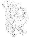
Map of traditonal listed farmsteads in Greater Lincolnshire dating to the 18th century | ZIP | 24 Kb |
|
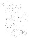
Map of traditonal listed farmsteads in Greater Lincolnshire dating to the 19th century | ZIP | 15 Kb |
|
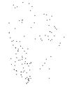
Map of traditonal listed farmsteads in Greater Lincolnshire | ZIP | 59 Kb |
|
Map of traditonal listed farmsteads in Greater Lincolnshire | ZIP | 49 Kb |
|
Medieval_point | ZIP | 3 Kb |
