
Predictive Modelling of Multi-Period Geoarchaeological Resources at a River Confluence
Tony Brown, Keith Challis, Andy J. Howard, 2008. (updated 2011) https://doi.org/10.5284/1000174. How to cite using this DOI
Data copyright © Prof Tony Brown, Keith Challis, Andy J. Howard unless otherwise stated
This work is licensed under the ADS Terms of Use and Access.


Primary contact
Prof
Tony
Brown
School of Geography
University of Southampton
Shackleton Building
Highfield
Southampton
SO17 1BJ
UK
Tel: 023 8059 5493
Resource identifiers
- ADS Collection: 829
- ALSF Project Number: 3357
- DOI:https://doi.org/10.5284/1000174
- How to cite using this DOI


Introduction
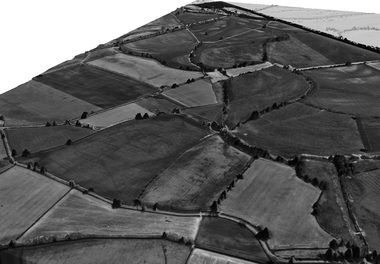
Predictive Modelling of Multi-Period Geoarchaeological Resources at a River confluence is an Aggregates Levy Sustainability Fund backed project led by principal investigators Professor Tony Brown, Dr Andy J Howard and Mr Keith Challis. The project takes as its study area the confluence of the Trent and Soar rivers in the East Midlands of the United Kingdom.
The overall purpose of the project is to: (a) to establish a rigorous research model for the future development of predetermination designs for site evaluation, (b) to assess the effectiveness of various airborne and ground based remote sensing methods in alluvial environments, and (c) to derive relationships between pre-extraction site survey data and likely chronostratigraphic and environmental data as part of archaeological assessment. This research will assist regulatory bodies (i.e. County Councils) in demanding and specifying rapid evaluations of geoarchaeological potential as part of the implementation of PPG16.
Users interested in this project may wish to know that further information regarding methodology as well as Project GIS (available as a Google Earth file) can be accessed from from the Trent Valley GeoArchaeology website. Trent Valley GeoArchaeology is a group of organisations and individuals with interests and involvement in the archaeology and palaeoenvironments of the Trent Valley, the River Trent and its tributaries.
