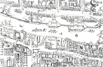
Extensive Urban Survey - Tyne and Wear
Newcastle City Council, 2012. https://doi.org/10.5284/1017431. How to cite using this DOI
Data copyright © Newcastle City Council, English Heritage unless otherwise stated
This work is licensed under the ADS Terms of Use and Access.
Primary contact
Jennifer
Morrison
Tyne and Wear Archaeology Officer
Historic Environment Section
Newcastle City Council
Environment and Regeneration Directorate
Housing, Planning and Transport
Civic Centre
Newcastle upon Tyne
NE1 8PH
England
Tel: +44 (0)191 2116218
Resource identifiers
- ADS Collection: 1170
- DOI:https://doi.org/10.5284/1017431
- How to cite using this DOI
Overview

In 1992, English Heritage set out a national policy for resolving possible conflicts between development and archaeological sites in built-up areas (Managing the Urban Archaeological Resource, 1992). Funds have been made available to individual Planning Authorities to undertake work aimed at providing a framework for dealing with archaeological issues encountered during the development control process.
Historic town surveys involve the collection and analysis of documentary, cartographic and archaeological evidence of the extent and character of the urban development of the town. An outline history of the town is then followed by a strategy for managing the archaeological sites revealed in the data-collection phase. The final section provides a step-by-step guide to the stages of a Planning Application on, or in the vicinity of, a site of archaeological interest.


