
England's Historic Seascapes: Southwold to Clacton
Oxford Archaeology (South), 2007. https://doi.org/10.5284/1000277. How to cite using this DOI
Data copyright © Historic England unless otherwise stated
This work is licensed under the ADS Terms of Use and Access.


Primary contact
Oxford Archaeology (South)
Janus House
Osney Mead
Oxford
OX2 0ES
UK
Tel: 01865 263800
Fax: 01865 793496
Resource identifiers
- ADS Collection: 746
- ALSF Project Number: 4729
- DOI:https://doi.org/10.5284/1000277
- How to cite using this DOI
England's Historic Seascapes:
Southwold to Clacton
ALSF Project Number 4729
Oxford Archaeology, 2007
The Naze
- The Naze
- Beaumont Quay
- Hamford Water / Blackford Backwaters
- The Naze Cliffs
- The Naze Tower
- The North Sea Flood of 1953
Hamford Water / Walton Backwaters
Hamford Water is a Special Protection Area (SPA) and Walton Backwaters a RAMSAR. As a result of conditions behind the sand spit, the area supports unusual assemblages of invertebrates and plants such as Hogs Fennel and rare Rock sea lavender, as well as ragworms and mussels. The area is probably most significant as a refuge for birds, and is designated an SPA due to its populations of Avocet, Golden Plover, Ruff, Little Tern, Dark-bellied Brent Goose, Teal, Black-tailed Godwit, Redshank and Ringed Plover. Two of the larger islands are notable wildlife havens. Horsey Island is the largest, accessible by road at low tide and supports a colony of over 70 harbour seals and grey seals; Skippers Island is a protected bird sanctuary.
Hamford water is generally 0 to 5 metres below sea level and is protected from inundation by the spit of land lying across the basin mouth (www.walton-on-the-naze.com). However, the area is subject to 'coastal squeeze'. As a consequence Hamford Water is rapidly depleting with the area of its saltmarsh declining from 792 ha in 1982 to 602 ha in 1997 (English Nature1997). A great deal of land reclamation was undertaken in the 19th century all along the Essex coast, including the Naze and in particular Horsey Island. However, with the retreat of Stone Point, Horsey Island had become increasingly vulnerable despite the production of a range of sea defences over the last twenty years.
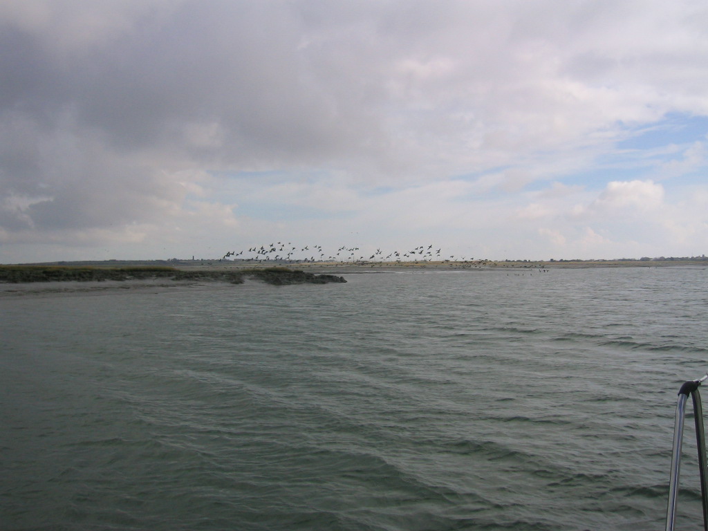
Caption: Brent Geese flying over Hamford Water
Photo courtesy: Bill Wilkinson
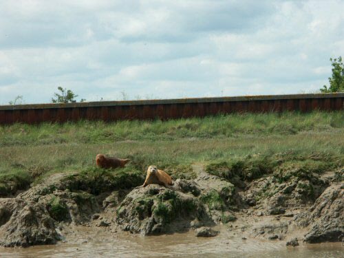
Caption: Seals in Hamford water
Photo courtesy: Bill Wilkinson
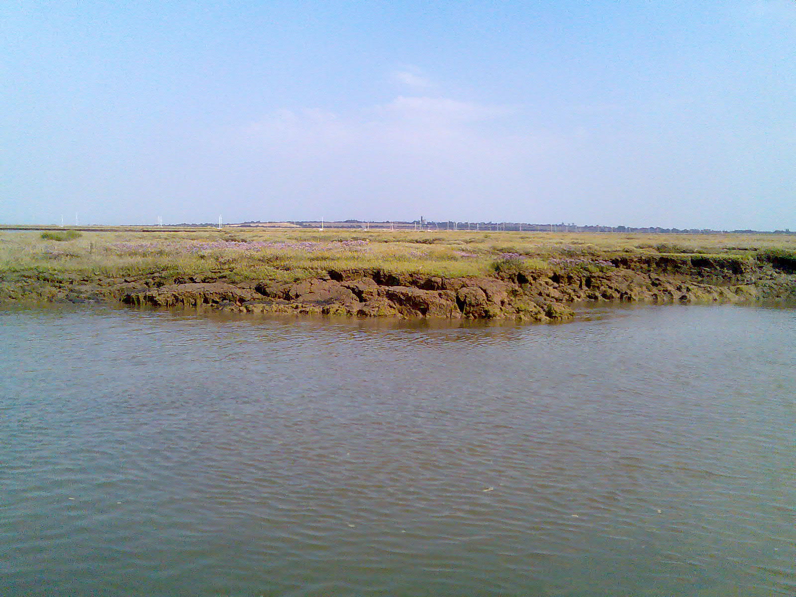
Caption: Dardenelles salt marsh
Photo courtesy: Bill Wilkinson
