
Sutton Park LiDAR, air photographic and ground surveys and palaeoenvironmental assessment
Mike Hodder, 2010. https://doi.org/10.5284/1000155. How to cite using this DOI
Data copyright © Birmingham City Council, Warwickshire County Council, University of Birmingham, Unit for Landscape Modelling unless otherwise stated
This work is licensed under the ADS Terms of Use and Access.

Primary contact
Dr
Mike
Hodder
Birmingham City Council
Alpha Tower, PO Box 28
Queensway, Suffolk Street
Birmingham
B1 1TU
England
Resource identifiers
- ADS Collection: 981
- DOI:https://doi.org/10.5284/1000155
- How to cite using this DOI


Introduction
Sutton Park (centred at grid reference 40941 29703) is located on the northern side of the Birmingham conurbation in the West Midlands, England. It is a publicly owned open space in recreational use and is surrounded by built-up areas, mainly residential, on all sides. Much of it is a scheduled ancient monument (SM 30085) and it is included in the Register of Historic Parks and Gardens. In addition, the national importance of its ecology and natural environment is recognised by its designations as a Site of Special Scientific Interest and a National Nature Reserve.
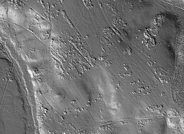
The project consisted of obtaining a comprehensive and more accurate record of archaeological earthwork remains in Sutton Park through capture and analysis of LiDAR data and subsequent ground recording; and assessment of the extent, from documentary sources and field inspection, of deposits likely to contain palaeo-environmental data. The information obtained will be used in protection of the resources in a heritage partnership agreement, including consideration of extending the scheduled area, and as part of an integrated management plan for the historic and natural environments. The project also identified areas for conventional detailed ground survey, ground-based remote sensing and small-scale excavation and devise a palaeoenvironmental sampling strategy.
