Digital Object Metadata
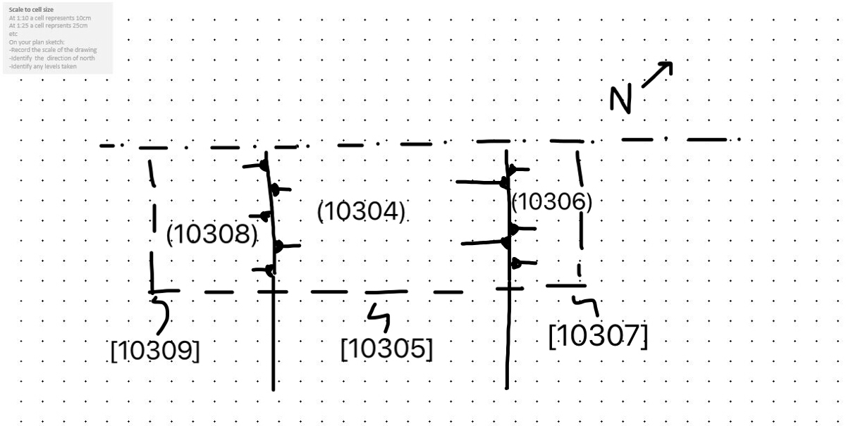
1C20WRBTT / 43 / 103 / 10305 / Modern linear (possiby tracks) Plan
Object ID: 2002736
 Plan")
Digital Object Information
| Object ID | 2002736 |
|---|---|
| Title | 1C20WRBTT / 43 / 103 / 10305 / Modern linear (possiby tracks) Plan |
| Year Created | 2021 |
| Creation Dates | |
| Start date: 11-Feb-2021 | |
| Creator |
|
Access and Rights
| Cite as | Farey, S., (2021) 1C20WRBTT / 43 / 103 / 10305 / Modern linear (possiby tracks) Plan [digital object]. York: Archaeology Data Service [distributor]. Object ID: 2002736 |
|---|---|
| Copyright |
|
| Licence | This work is licensed under a The Open Government Licence (OGL). |
| Primary Contact |
High Speed Two Ltd. 2 Snowhill Queensway Birmingham B4 6GA United Kingdom Tel: 08081 434 434 Email: [email protected] |
| Metadata Contact | ADS: [email protected] |
Content and Subject Information
| Data Type | Image |
|---|---|
| Language |
|
| Subject | Linear |
| section | |
| Periods | modern |
| Location | Boddington |
| Welsh Road | |
| Coordinates | Latitude Longitude: 52.17511434 -1.322895471 |
File Information
| File name | 838ee93c-e052-4e5b-90f3-572c15031c94.jpg |
JPG |
Download File |
|---|---|---|---|
| Format | JPG | ||
| Format type | JPEG File Interchange Format (v. 1.01) | ||
| File size | 231 Kb | ||
| Checksum | a10d5948db822c586afc5b7686c78969 | ||
| Last modified | 25-Oct-2021 |
Relationships
| This Object is from Collection | Data from a Trial Trenching at Welsh Road, Boddington Cutting, Northamptonshire, 2020 (HS2 Phase One) |
|---|
Archived Metadata for Download
Download the metadata file(s) for this object, submitted as part of the collection. Please note that this deposited metadata may also contain metadata for associated files, or files of the same data type from this collection.
| Image metadata | |||
|---|---|---|---|
| Filename | 1C20WRBTT_ADS_raster_metadata.csv (41 Kb) |
CSV |
Info
Download |