Digital Object Metadata
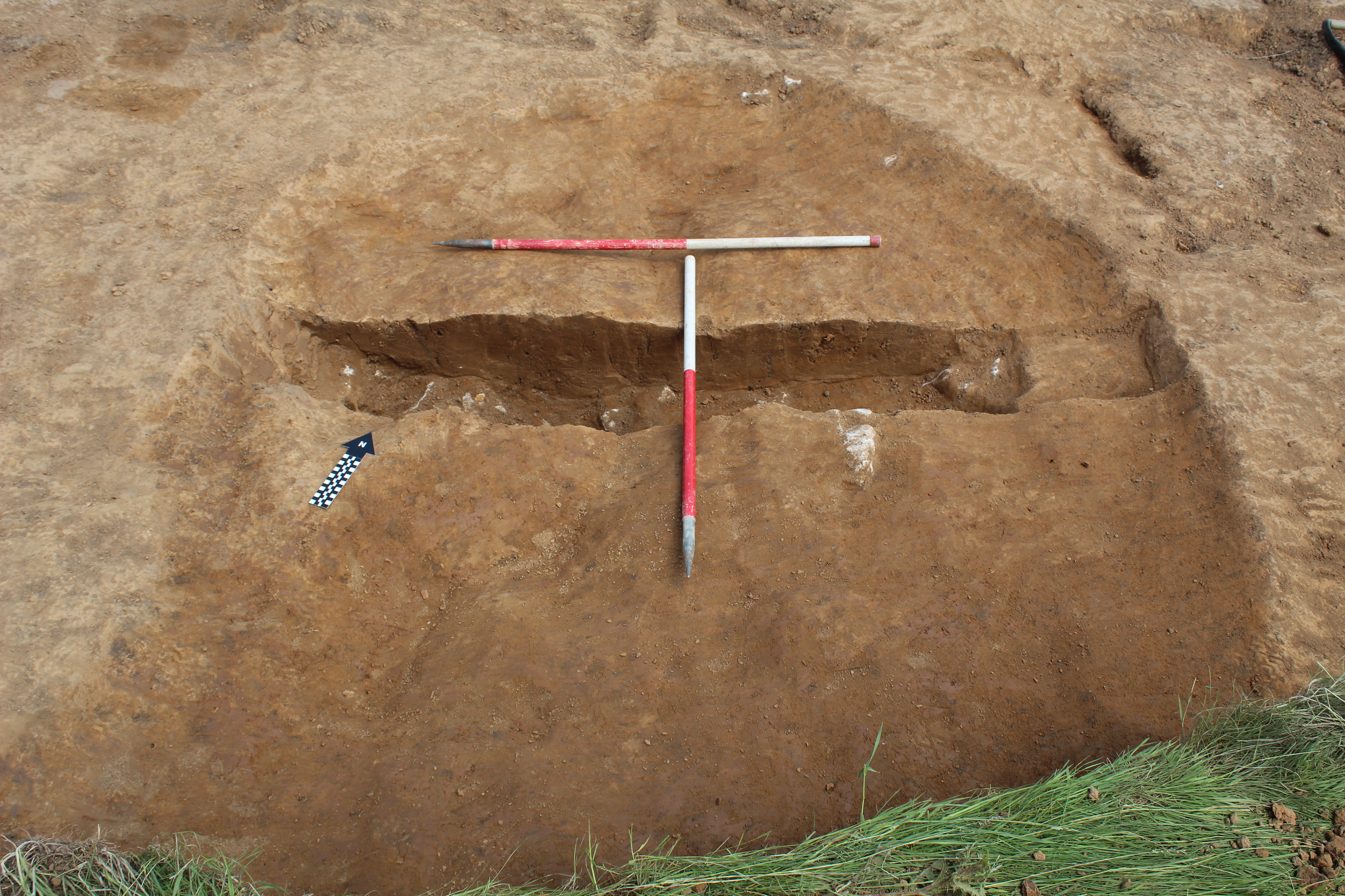
North-west facing plan shot of [2003] (1m x 1m scale)
Object ID: 2124708
![Preview of North-west facing plan shot of [2003] (1m x 1m scale)](1004471/images/preview/GMQ21_12.jpg "Click to view North-west facing plan shot of [2003] (1m x 1m scale)")
Digital Object Information
| Object ID | 2124708 |
|---|---|
| Title | North-west facing plan shot of [2003] (1m x 1m scale) |
| Year Created | 2021 |
| Creation Dates | |
| Start date: 22-Jun-2021 | |
| Creator |
|
Access and Rights
| Cite as | Parker, T., (2021) North-west facing plan shot of [2003] (1m x 1m scale) [digital object]. York: Archaeology Data Service [distributor]. Object ID: 2124708 |
|---|---|
| Copyright |
|
| Licence | This work is licensed under a Creative Commons Attribution 4.0 International License. |
| Primary Contact |
Archaeological Research Services Angel House Portland Square Bakewell Derbyshire DE45 1HB UK Email: [email protected] |
| Metadata Contact | ADS: [email protected] |
Content and Subject Information
| Data Type | Image |
|---|---|
| Language |
|
| Subject | Archaeological Intervention |
| Excavation | |
| Rooting | |
| Periods | 21st century |
| Period Dates |
|
| Location | Grange Mill Quarry |
| Derbyshire | |
| Matlock | |
| Coordinates | OSGB: 424300 356980 |
File Information
| File name | GMQ21_12.jpg |
JPG |
Download File |
|---|---|---|---|
| Format | JPG | ||
| Format type | Exchangeable Image File Format (Compressed) (v. 2.3.x) | ||
| File size | 8.35 Mb | ||
| Checksum | 3ed08a47e3e0632bcf14be6c9c76d031 | ||
| Last modified | 31-Mar-2022 |
Relationships
| This Object is from Collection | Site Data from an Archaeological Strip, Map and Sample excavation at Grange Mill Quarry, Derbyshire 2021 |
|---|
Archived Metadata for Download
Download the metadata file(s) for this object, submitted as part of the collection. Please note that this deposited metadata may also contain metadata for associated files, or files of the same data type from this collection.
| ADS_vector_metadata_template | |||
|---|---|---|---|
| Filename | ADS_vector_metadata_template.csv (1 Kb) |
CSV |
Info
Download |
| Image metadata GMQ21 | |||
|---|---|---|---|
| Filename | ADS_raster_metadata_template_new1.csv (10 Kb) |
CSV |
Info
Download |