Digital Object Metadata
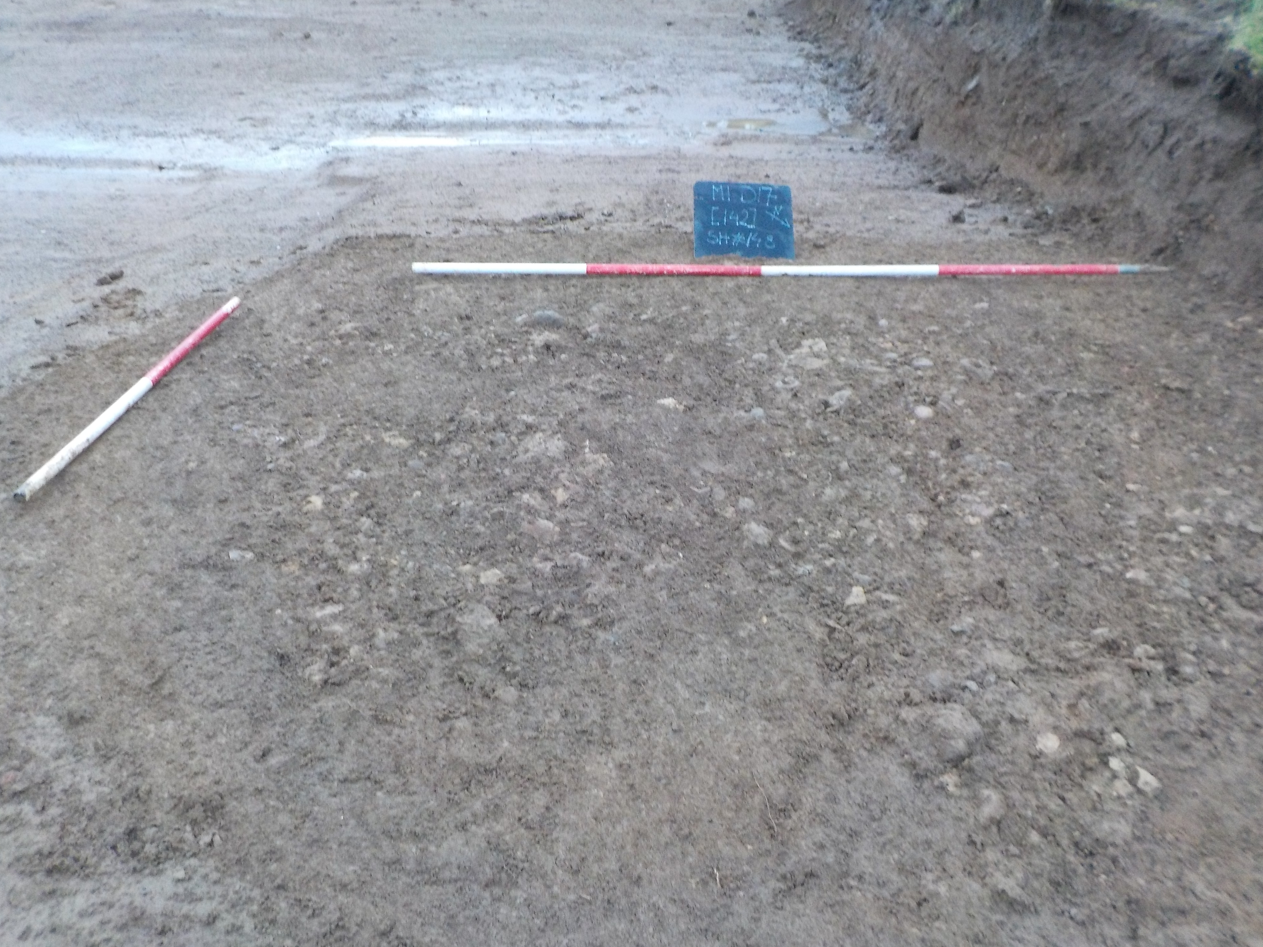
View W Stone layer [142] 1x1m 1x2m WB (S.148 on board)
Object ID: 2301677
![Preview of View W Stone layer [142] 1x1m 1x2m WB (S.148 on board)](1005293/images/preview/M1D17_0146.jpg "Click to view View W Stone layer [142] 1x1m 1x2m WB (S.148 on board)")
Digital Object Information
| Object ID | 2301677 |
|---|---|
| Title | View W Stone layer [142] 1x1m 1x2m WB (S.148 on board) |
| Year Created | 2023 |
| Creation Dates | |
| Start date: 02-Jan-2018 | |
| Creator |
|
Access and Rights
| Cite as | D, B., (2023) View W Stone layer [142] 1x1m 1x2m WB (S.148 on board) [digital object]. York: Archaeology Data Service [distributor]. Object ID: 2301677 |
|---|---|
| Copyright |
|
| Licence | This work is licensed under a Creative Commons Attribution 4.0 International License. |
| Primary Contact |
Oxford Archaeology (South) Janus House Osney Mead Oxford OX2 0ES UK Email: [email protected] |
| Metadata Contact | ADS: [email protected] |
Content and Subject Information
| Data Type | Image |
|---|---|
| Language |
|
| Subject | Layer |
| Surface | |
| Periods | Uncertain |
| Period Dates |
|
| Location | M1 Dway Junction 16 |
| Coordinates | OSGB: 468370 259760 |
File Information
| File name | M1D17_0146.jpg |
JPG |
Download File |
|---|---|---|---|
| Format | JPG | ||
| Format type | Exchangeable Image File Format (Compressed) (v. 2.3.x) | ||
| File size | 5.7 Mb | ||
| Checksum | b38b5bf9f3717d22f0f251a5aefa0a3c | ||
| Last modified | 17-Mar-2023 |
Relationships
| This Object is from Collection | Digital Archive from an Archaeological Excavation and Watching Brief at M1 Dway Junction 16, Weedon Road, Harpole, West Northamptonshire 2017-2018 |
|---|
Archived Metadata for Download
Download the metadata file(s) for this object, submitted as part of the collection. Please note that this deposited metadata may also contain metadata for associated files, or files of the same data type from this collection.
| Image metadata | |||
|---|---|---|---|
| Filename | M1D17_raster_metadata.csv (178 Kb) |
CSV |
Info
Download |