Digital Object Metadata
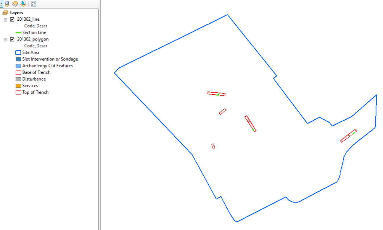
Loading GIS preview
Digital Object Information
| Object ID | 2457525 |
|---|---|
| Title | Courtfield House, Trowbridge, Wiltshire: Evaluation: GIS Data, Line |
| Description | Shape file containing line data generated during Wessex Archaeology's evaluation at Courtfield House, Trowbridge, Wiltshire. |
| Year Created | 2023 |
| Creation Dates | |
| Start date: 01-Aug-2022 | |
| End date: 02-Aug-2022 | |
| Creator |
|
Access and Rights
| Cite as | Wessex Archaeology, (2023) Courtfield House, Trowbridge, Wiltshire: Evaluation: GIS Data, Line [digital object]. York: Archaeology Data Service [distributor]. Object ID: 2457525 |
|---|---|
| Copyright |
|
| Licence | This work is licensed under a Creative Commons Attribution 4.0 International License. |
| Primary Contact |
Wessex Archaeology Portway House Old Sarum Park Salisbury SP4 6EB UK Tel: 01722 326867 Fax: 01722 337562 Email: [email protected] |
| Metadata Contact | ADS: [email protected] |
Content and Subject Information
| Data Type | GIS |
|---|---|
| Language |
|
| Location | England |
| Wiltshire | |
| Trowbridge | |
| Courtfield House | |
| Coordinates | OSGB: 385945 157850 |
File Information
| File name | 201302_line.zip |
ZIP |
Download File |
|---|---|---|---|
| Format | ZIP | ||
| Format type | ZIP Format | ||
| File size | 4 Kb | ||
| Checksum | e8705cba49b2ae8cc1379b17e16a78c1 | ||
| Last modified | 28-Nov-2023 |
Relationships
| This Object is from Collection | Digital Archive from Archaeological Trial Trenching at Courtfield House, Trowbridge, Wiltshire, August 2022 |
|---|
Archived Metadata for Download
Download the metadata file(s) for this object, submitted as part of the collection. Please note that this deposited metadata may also contain metadata for associated files, or files of the same data type from this collection.
| GIS supporting documentation - 201302 ArcMap Setup | |||
|---|---|---|---|
| Filename | 201302_ArcMap_Setup.png (65 Kb) |
PNG |
Info
Download |
| GIS supporting documentation - 201302 Line metadata | |||
|---|---|---|---|
| Filename | 201302_Line_metadata.csv (1 Kb) |
CSV |
Info
Download |
| GIS metadata | |||
|---|---|---|---|
| Filename | gis_metadata.csv (2 Kb) |
CSV |
Info
Download |