Digital Object Metadata
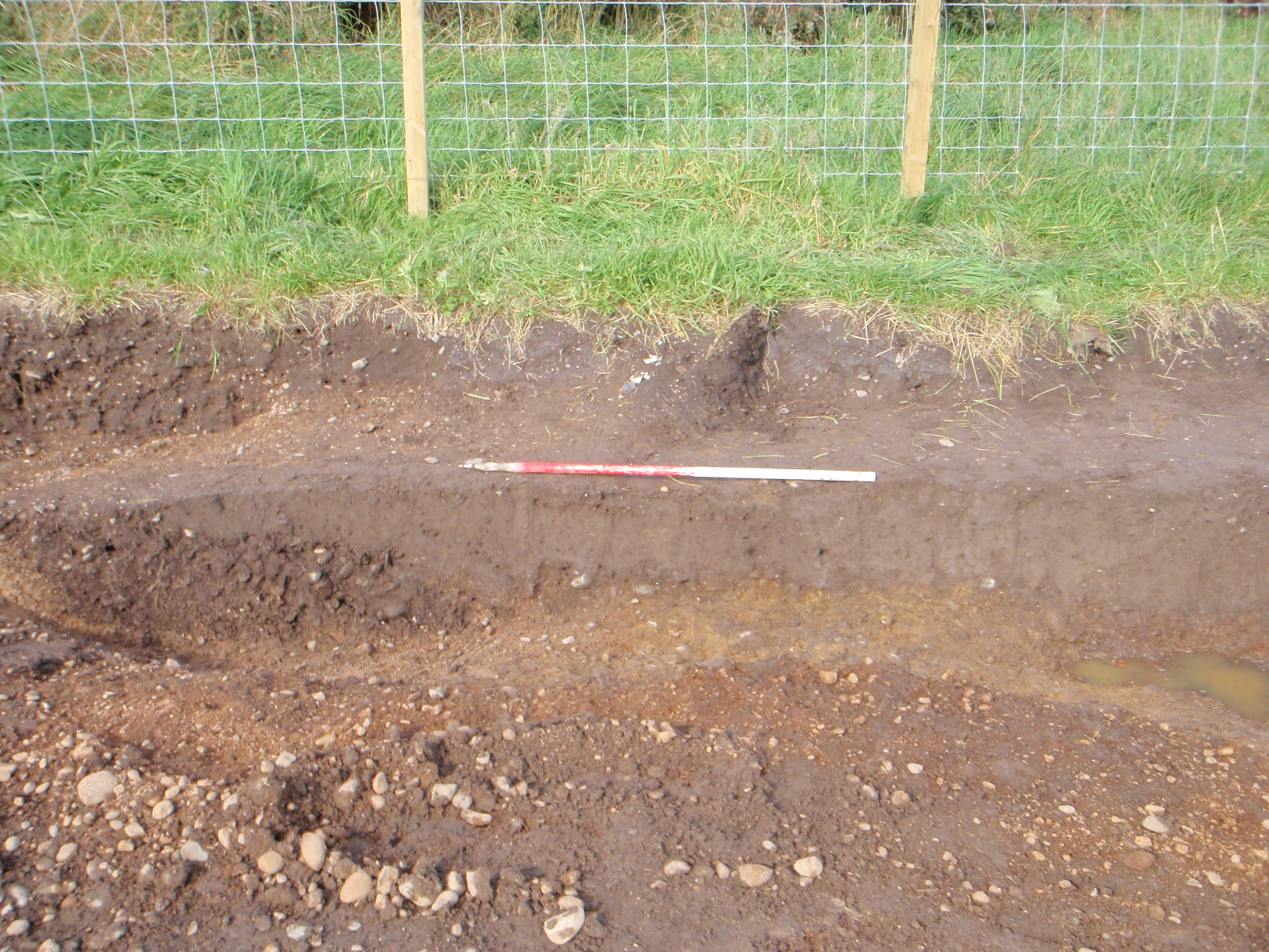
21176 Fill of Cut 21078, 1m scale, N Direction
Object ID: 2479117

Digital Object Information
| Object ID | 2479117 |
|---|---|
| Title | 21176 Fill of Cut 21078, 1m scale, N Direction |
| Creation Dates | |
| End date: 07-Oct-2008 | |
| Creator |
|
Access and Rights
| Cite as | Savage, C., 21176 Fill of Cut 21078, 1m scale, N Direction [digital object]. York: Archaeology Data Service [distributor]. Object ID: 2479117 |
|---|---|
| Copyright |
|
| Licence | This work is licensed under a Creative Commons Attribution 4.0 International License. |
| Primary Contact |
Oxford Archaeology Ltd Janus House Osney Mead Oxford OX2 0ES UK Tel: 01865 263800 Fax: 01865 793496 Email: [email protected] |
| Metadata Contact | ADS: [email protected] |
Content and Subject Information
| Data Type | Image |
|---|---|
| Language |
|
| Subject | Feature |
| Record Shot | |
| Location | Parcel 21 |
| Carlisle Northern Development Route (CNDR) | |
| Coordinates | OSGB: 336902 556702 |
File Information
| File name | 21056.jpg |
JPG |
Download File |
|---|---|---|---|
| Format | JPG | ||
| Format type | Exchangeable Image File Format (Compressed) (v. 2.21) | ||
| File size | 1.75 Mb | ||
| Checksum | 4d83a6429c60bb1e326a185babf1cbc8 | ||
| Last modified | 07-Oct-2008 |
Relationships
| This Object is from Collection | Digital Archive from the Programme of Archaeological Excavations on the Carlisle Northern Development Route (CNDR) 2008-2011 |
|---|---|
| This Object is also Part of | Excavation Photographs (Group) |
Archived Metadata for Download
Download the metadata file(s) for this object, submitted as part of the collection. Please note that this deposited metadata may also contain metadata for associated files, or files of the same data type from this collection.
| Parcel 21 Excavation Photographs metadata | |||
|---|---|---|---|
| Filename | Parcel_21_Excavation_Photographs_ADS_metadata.csv (63 Kb) |
CSV |
Info
Download |