Digital Object Metadata
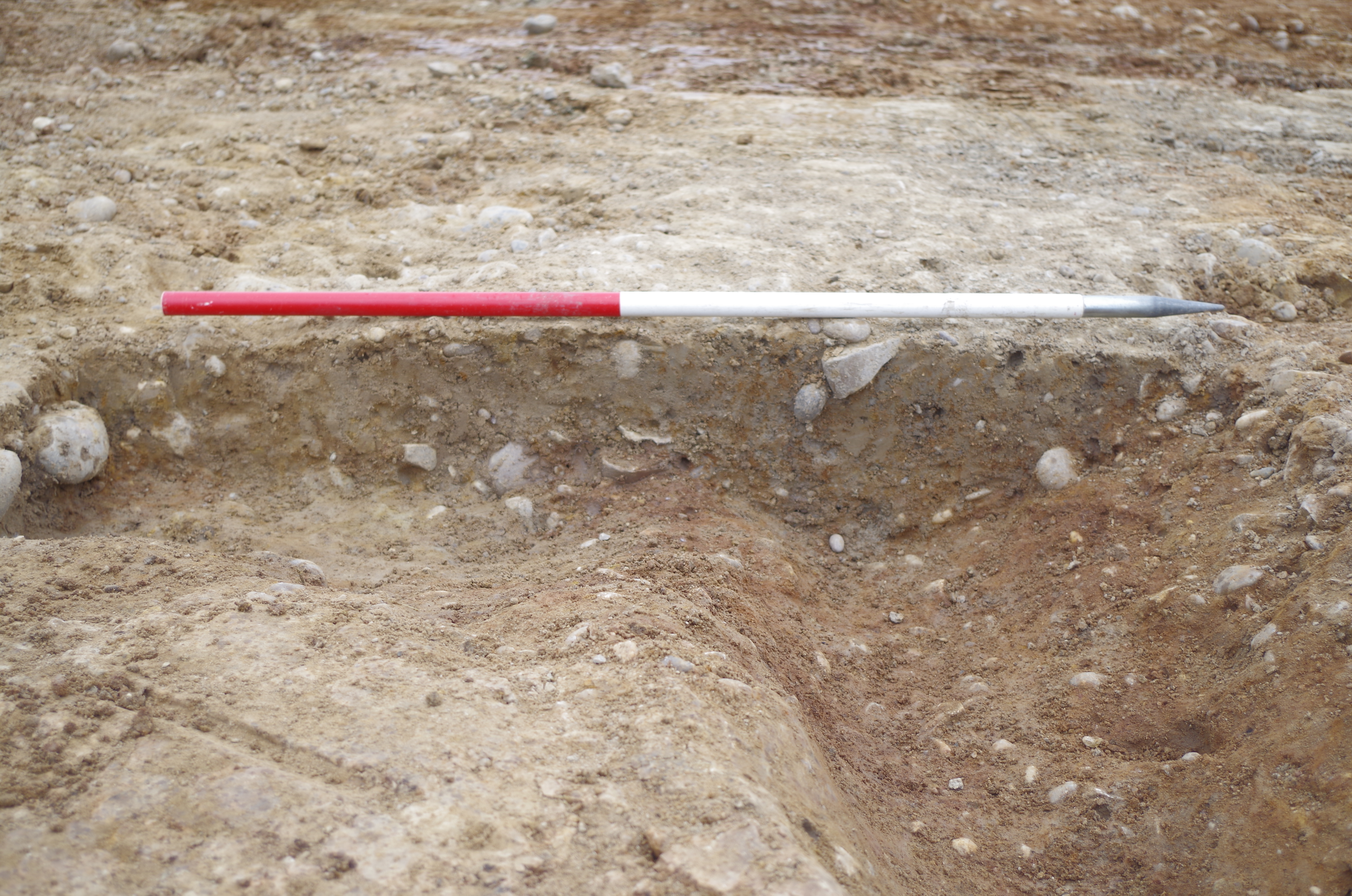
Ditch 1011, Pit 1013. Viewed from South-East
Object ID: 2530628

Digital Object Information
| Object ID | 2530628 |
|---|---|
| Title | Ditch 1011, Pit 1013. Viewed from South-East |
| Year Created | 2022 |
| Creation Dates | |
| Start date: 21-Apr-2022 | |
| Creator |
|
Access and Rights
| Cite as | (2022) Ditch 1011, Pit 1013. Viewed from South-East [digital object]. York: Archaeology Data Service [distributor]. Object ID: 2530628 |
|---|---|
| Copyright |
|
| Licence | This work is licensed under a The Open Government Licence (OGL). |
| Primary Contact |
High Speed Two Ltd. 2 Snowhill Queensway Birmingham B4 6GA United Kingdom Tel: 08081 434 434 Email: [email protected] |
| Metadata Contact | ADS: [email protected] |
Content and Subject Information
| Data Type | Image |
|---|---|
| Language |
|
| Subject | Archaeological Intervention |
| PIT | |
| Ditch | |
| Periods | Uncertain |
| Period Dates |
|
| Location | Drayton Bassett, Lichfield, Staffordshire, England |
| Coordinates | OSGB: 417387 299816 |
File Information
| File name | 265010_WAD44_bchicihi__IMG0191.jpg |
JPG |
Download File |
|---|---|---|---|
| Format | JPG | ||
| Format type | JPEG File Interchange Format (v. 1.01) | ||
| File size | 7.22 Mb | ||
| Checksum | a0121c28d781a86331c71137a37ab2ca | ||
| Last modified | 01-Jun-2023 |
Relationships
| This Object is from Collection | Data from an Archaeological Mitigation South of Drayton Lane near Roundhill Wood in Staffordshire, between Royal Sutton Coldfield and Tamworth, 2022 (HS2 Phase One) |
|---|
Archived Metadata for Download
Download the metadata file(s) for this object, submitted as part of the collection. Please note that this deposited metadata may also contain metadata for associated files, or files of the same data type from this collection.
| Selected Photographs Raster Metadata | |||
|---|---|---|---|
| Filename | hs2wesse1_509069_Photographs_ADS_raster_metadata.csv (20 Kb) |
CSV |
Info
Download |