Digital Object Metadata
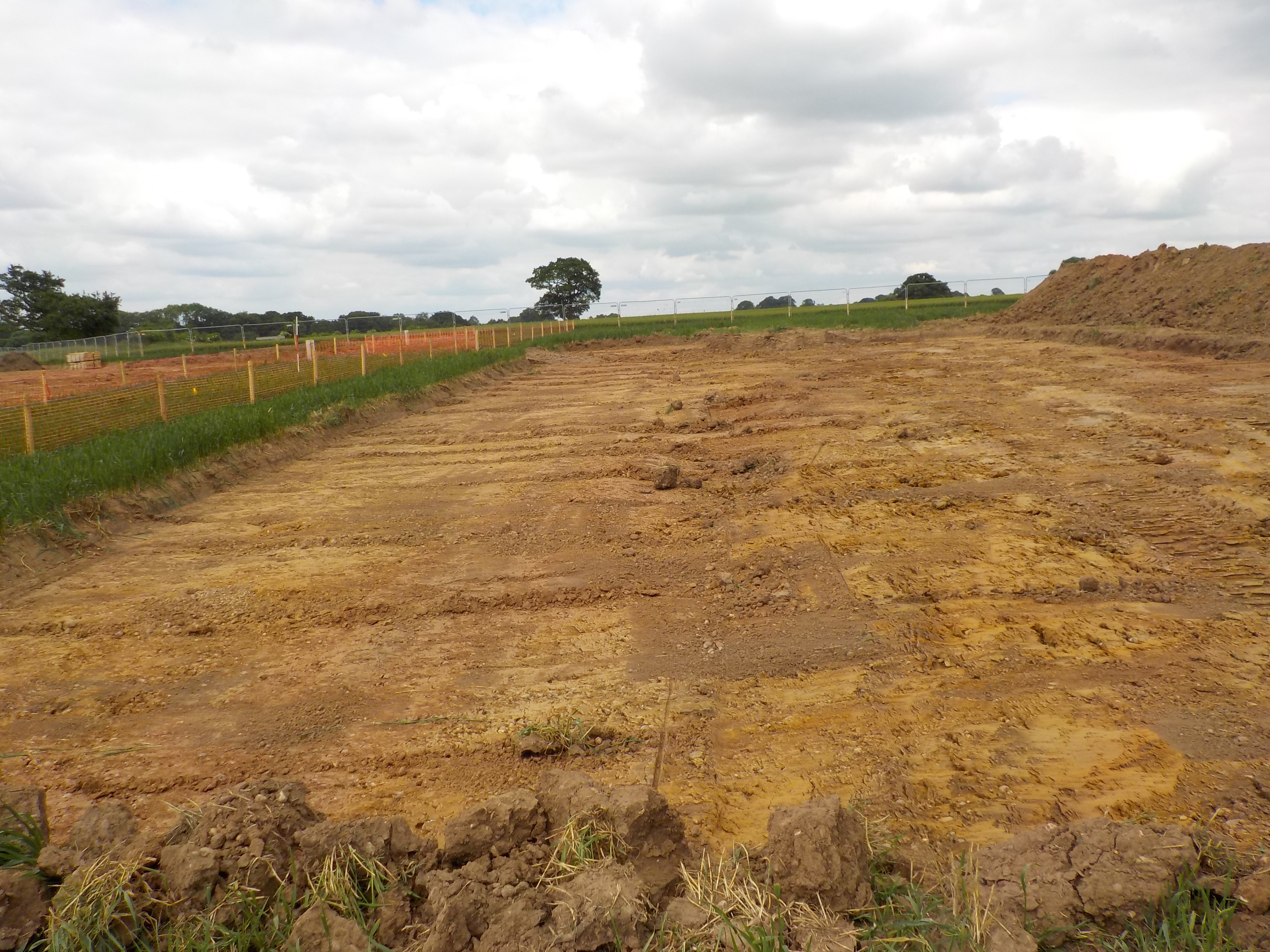
topsoil Stripped to South of Gas Pipe Tie in Pit 2
Object ID: 2551574

Digital Object Information
| Object ID | 2551574 |
|---|---|
| Title | topsoil Stripped to South of Gas Pipe Tie in Pit 2 |
| Year Created | 2018 |
| Creator |
|
Access and Rights
| Cite as | (2018) topsoil Stripped to South of Gas Pipe Tie in Pit 2 [digital object]. York: Archaeology Data Service [distributor]. Object ID: 2551574 |
|---|---|
| Copyright |
|
| Licence | This work is licensed under a The Open Government Licence (OGL). |
| Primary Contact |
High Speed Two Ltd. 2 Snowhill Queensway Birmingham B4 6GA United Kingdom Tel: 08081 434 434 Email: [email protected] |
| Metadata Contact | ADS: [email protected] |
Content and Subject Information
| Data Type | Image |
|---|---|
| Language |
|
| Subject | Excavation |
| Topsoil Strip | |
| Location | Worton Road, Westcot Barton, Middle Barton, West Oxfordshire, Oxfordshire, England, OX7 7EG, United Kingdom |
| Coordinates | OSGB: 443658 226634 |
File Information
| File name | 1N18UANBS_0414.jpg |
JPG |
Download File |
|---|---|---|---|
| Format | JPG | ||
| Format type | Exchangeable Image File Format (Compressed) (v. 2.3.x) | ||
| File size | 5.82 Mb | ||
| Checksum | 5d78c09831bf4d5a3ca933cc6592d46c | ||
| Last modified | 02-May-2023 |
Relationships
| This Object is from Collection | Data from Archaeological Recording at Utility Area TX05, Hunningham Road, Offchurch, Warwickshire, 2018-2023 (HS2 Phase One) |
|---|
Archived Metadata for Download
Download the metadata file(s) for this object, submitted as part of the collection. Please note that this deposited metadata may also contain metadata for associated files, or files of the same data type from this collection.
| Raster Metadata | |||
|---|---|---|---|
| Filename | 1N18UANBS_raster_metadata.csv (16 Kb) |
CSV |
Info
Download |