Digital Object Metadata
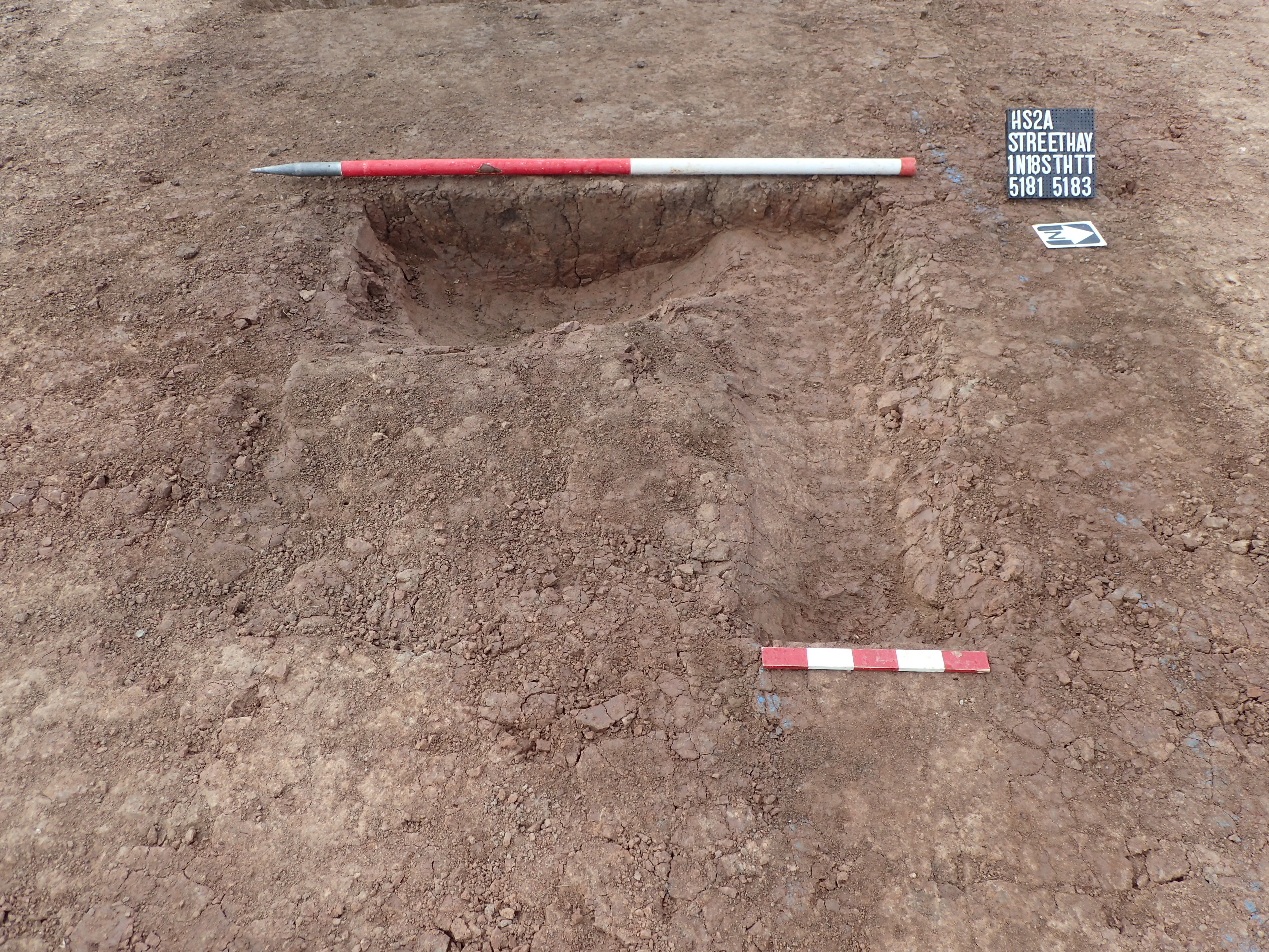
Plan shot of pit 5183 cutting gully 5181
Object ID: 2564828

Digital Object Information
| Object ID | 2564828 |
|---|---|
| Title | Plan shot of pit 5183 cutting gully 5181 |
| Year Created | 2018 |
| Creation Dates | |
| Start date: 07-Sep-2018 | |
| Creator |
|
Access and Rights
| Cite as | (2018) Plan shot of pit 5183 cutting gully 5181 [digital object]. York: Archaeology Data Service [distributor]. Object ID: 2564828 |
|---|---|
| Copyright |
|
| Licence | This work is licensed under a The Open Government Licence (OGL). |
| Primary Contact |
High Speed Two Ltd. 2 Snowhill Queensway Birmingham B4 6GA United Kingdom Tel: 08081 434 434 Email: [email protected] |
| Metadata Contact | ADS: [email protected] |
Content and Subject Information
| Data Type | Image |
|---|---|
| Language |
|
| Subject | Excavation |
| Pit | |
| Gully | |
| Location | Streethay |
| Lichfield | |
| UK | |
| England | |
| Staffordshire | |
| Coordinates | OSGB: 414076 311387 |
File Information
| File name | 1N18STHAR_235.jpg |
JPG |
Download File |
|---|---|---|---|
| Format | JPG | ||
| Format type | Exchangeable Image File Format (Compressed) (v. 2.3.x) | ||
| File size | 7.43 Mb | ||
| Checksum | 4ede6f3b2ea8985e3956ced6315ab791 | ||
| Last modified | 03-May-2023 |
Relationships
| This Object is from Collection | Data from a Archaeological Recording at Streethay, Lichfield, Staffordshire, 2018-2023 (HS2 Phase One) |
|---|
Archived Metadata for Download
Download the metadata file(s) for this object, submitted as part of the collection. Please note that this deposited metadata may also contain metadata for associated files, or files of the same data type from this collection.
| Image metadata | |||
|---|---|---|---|
| Filename | 1N18STHAR_raster_metadata.csv (73 Kb) |
CSV |
Info
Download |