Digital Object Metadata
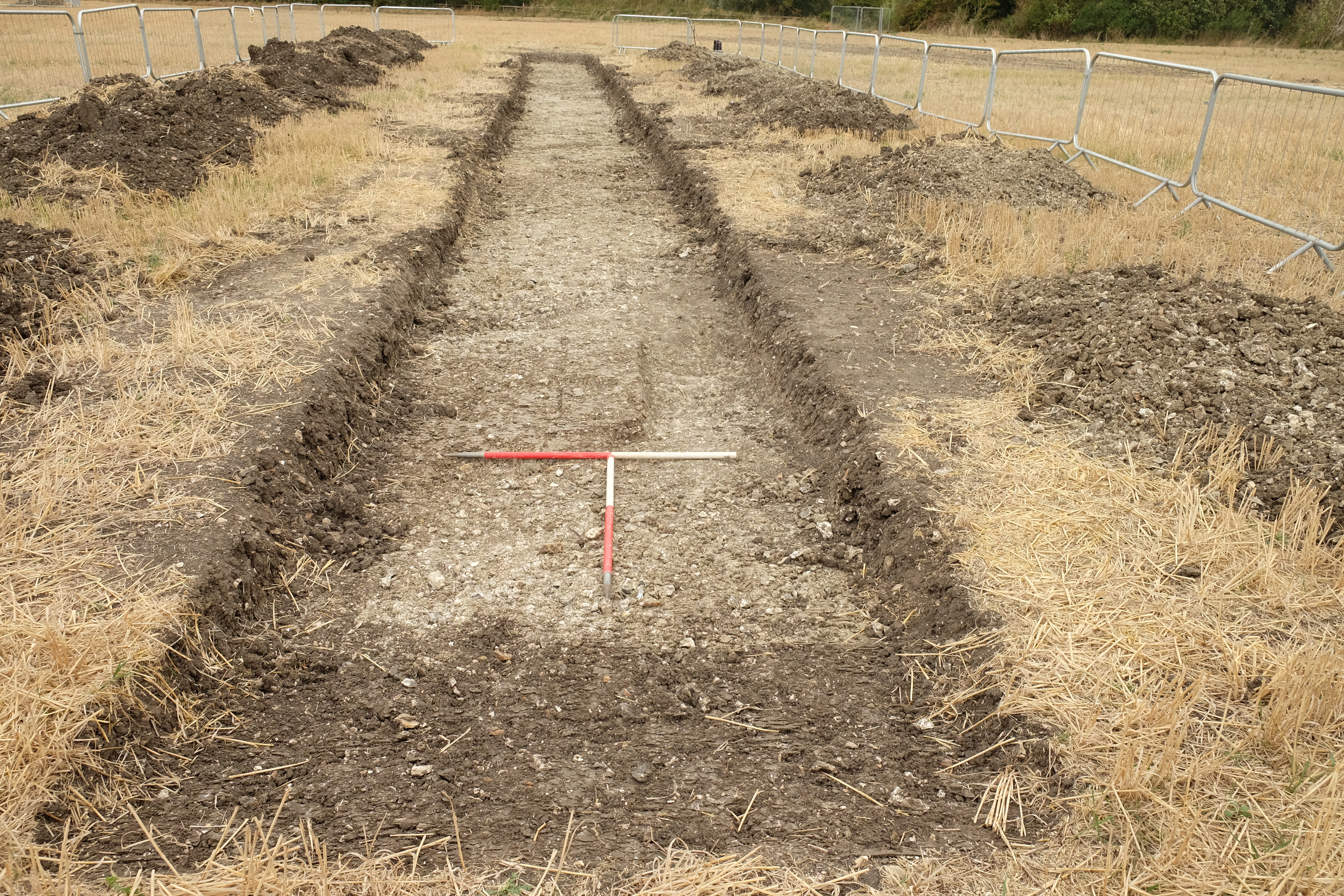
NORTH facing image of Trench 9
Object ID: 2613717

Digital Object Information
| Object ID | 2613717 |
|---|---|
| Title | NORTH facing image of Trench 9 |
| Year Created | 0018 |
| Creator |
|
Access and Rights
| Cite as | (0018) NORTH facing image of Trench 9 [digital object]. York: Archaeology Data Service [distributor]. Object ID: 2613717 |
|---|---|
| Copyright |
|
| Licence | This work is licensed under a The Open Government Licence (OGL). |
| Primary Contact |
L-P : Archaeology The Old Truman Brewery 91 Brick Lane London E1 6QL UK Email: [email protected] |
| Metadata Contact | ADS: [email protected] |
Content and Subject Information
| Data Type | Image |
|---|---|
| Language |
|
| Subject | Trench |
| Location | Stoke Mandeville |
| Whitethorn Farm | |
| Buckinghamshire | |
| Coordinates | OSGB: 483710 209380 |
File Information
| File name | DSCF2122.jpg |
JPG |
Download File |
|---|---|---|---|
| Format | JPG | ||
| Format type | Exchangeable Image File Format (Compressed) (v. 2.3.x) | ||
| File size | 6.41 Mb | ||
| Checksum | 88c90086cc85a4afad0b6a5735115166 | ||
| Last modified | 21-Apr-2022 |
Relationships
| This Object is from Collection | Data from a Trial Trenching at Whitethorn Farm, Stoke Mandeville South Embankment, Buckinghamshire, 2018-2022 (HS2 Phase One) |
|---|
Archived Metadata for Download
Download the metadata file(s) for this object, submitted as part of the collection. Please note that this deposited metadata may also contain metadata for associated files, or files of the same data type from this collection.
| Image metadata | |||
|---|---|---|---|
| Filename | 1C18WTFTT_raster_metadata.csv (15 Kb) |
CSV |
Info
Download |