
Discovering England's Burial Spaces (DEBS)
University of York, Historic England, 2020. https://doi.org/10.5284/1106876. How to cite using this DOI
This work is licensed under a Creative Commons Attribution 4.0 International License.

Resource identifiers
- ADS Collection: 3302
- DOI:https://doi.org/10.5284/1106876
- How to cite using this DOI


Available archives:
A total of 6 archives have been added to the Discovering England's Burial Spaces (DEBS) Collection. These can be accessed below.
|
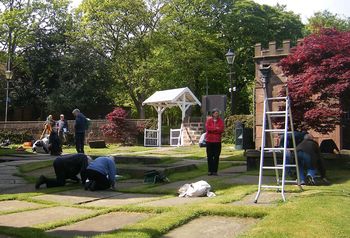
Churchyard Survey Data from All Saints Church, Childwall, Liverpool 2009 - 2021 Merseyside Archaeological Society This collection comprises a database, images and site plans from a survey of All Saints Churchyard undertaken by Merseyside Archaeological Society between 2009 and 2021. 838 monuments were recorded from the historic core of the churchyard. Collection doi: https://dx.doi.org/10.5284/1085017 |
|
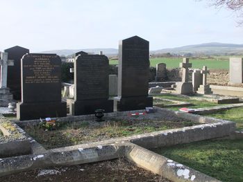
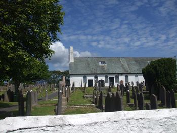
Malew Churchyard Extension Burial Space Survey, Isle of Man Harold Mytum, University of Liverpool The external memorials of Malew 1895 Churchyard extension were recorded as part of student training with community involvement for research into the spatial development of the burial ground. Collection doi: https://dx.doi.org/10.5284/1059283 |
|
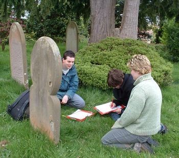
Welburn Burial Space Survey Harold Mytum, University of Liverpool The external memorials of Welburn graveyard were recorded as part of a student training and for research into regional styles of monument in Yorkshire. Collection doi: https://dx.doi.org/10.5284/1059286 |
|
Bulmer Burial Space Survey Harold Mytum, University of Liverpool The external memorials of Bulmer graveyard were recorded as part of student training and for research into regional styles of monument in Yorkshire. Collection doi: https://dx.doi.org/10.5284/1059282 |
|
Malew Old Churchyard Burial Space Survey, Isle of Man Harold Mytum, University of Liverpool The external memorials of Malew Old Churchyard graveyard were recorded as part of student training with community involvement for research into the spatial development of the burial ground. Collection doi: https://dx.doi.org/10.5284/1059284 |
|
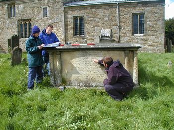
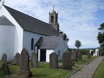
St Marks Burial Space Survey, Isle of Man Harold Mytum, University of Liverpool The external memorials of St Mark's Churchyard were recorded as a community involvement project for research into the spatial development of the burial ground. Collection doi: https://dx.doi.org/10.5284/1059285 |
