
Beneath the Surface of Roman Republican Cities
Martin Millett, Lieven Verdonck, Ninetta Leone, Alessandro Launaro, 2019. https://doi.org/10.5284/1052663. How to cite using this DOI
Data copyright © Lieven Verdonck, Prof Martin Millett unless otherwise stated
This work is licensed under the ADS Terms of Use and Access.

Primary contact
Prof
Martin
Millett
Faculty of Classics
University of Cambridge
Sidgwick Avenue
Cambridge
CB3 9DA
England
Tel: 01223 337733
Resource identifiers
- ADS Collection: 3357
- DOI:https://doi.org/10.5284/1052663
- How to cite using this DOI
Introduction
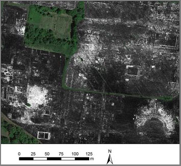
The middle Roman Republic (the 4th - 3rd centuries BC) was the formative period in the development of Roman urbanism, with the development of the City of Rome itself and crucially also the implantation of new urban foundations across the conquered areas of Italy. Since Roman cities subsequently became central to the character of Rome's imperial system, understanding the earliest development of towns in Italy at this period is central to any comprehension of Roman imperialism itself. However, the earliest phases of these cities, many of which have continued in occupation until today, lie deeply buried beneath later structures. This project deployed Ground-Penetrating Radar (henceforth GPR) survey alongside the study of ceramic assemblages across the full extent of two cities founded in this period - Interamna Lirenas founded as a colony in 312 BC and Falerii Novi founded by Rome in 241 BC (following Rome's razing of Falerii Veteres) to characterise their early development. Both sites were abandoned in the post-Roman period and now lie beneath agricultural land, hence they were available for total survey. The work built upon previous survey at both sites (which has included full magnetometry and topographical surveys of both) providing unique new data about the deeply buried deposits thereby allowing the integrated information to be used to map these towns and address key questions about the nature of Roman urban development in this key period.
In collaboration with Ghent University, the project collected close interval GPR data across the available areas of both sites, processing the results to provide 'time slice' plans of the structures at successive depths below the surface. The deployment of this technology on a city-wide scale is pioneering worldwide. Second we used existing excavated pottery from past work at Falerii Novi and newly collected samples from systematic shovel testing pits across the site at Interamna Lirenas in order to provide tighter chronological information about the rate of development of the two cities. In the latter we sieved a sample from each topsoil test pit. The pottery from these samples provides a sound understanding of the spatial and chronological development of the town.
