Context 281119
Context Information
| Context number | 281119 |
|---|---|
| Parent context number | 281119 |
| Child context number(s) | 281119 |
| Group number | 431 (Roundhouse) |
| Settlement ? | Fenstanton Gravels 4 |
| General Period of Feature | Middle-Late Iron Age |
| A14 Area | Fenstanton Gravels (TEA28) |
| Associated digital archive | MOLA Headland Infrastructure (2025) A14 Cambridge to Huntingdon Improvement Scheme: Digital Archive for Archaeological Works at Fenstanton Gravels Landscape Block, 2016-2018 [data-set]. York: Archaeology Data Service [distributor] https://doi.org/10.5284/1081254 |
Context Sheet(s)
| Context sheet for context 281119 | |||
|---|---|---|---|
| Filename | A14-TEA28-CN281119.pdf (95 kB) |
|
Download |
| PDFs containing multiple context sheets are also available in the project archive: A14 Fenstanton Gravels Context Sheets (281051-281598) | |||
Human Remains
Animal Remains Data
Animal Remains Summary
Context Photographs

|
|||
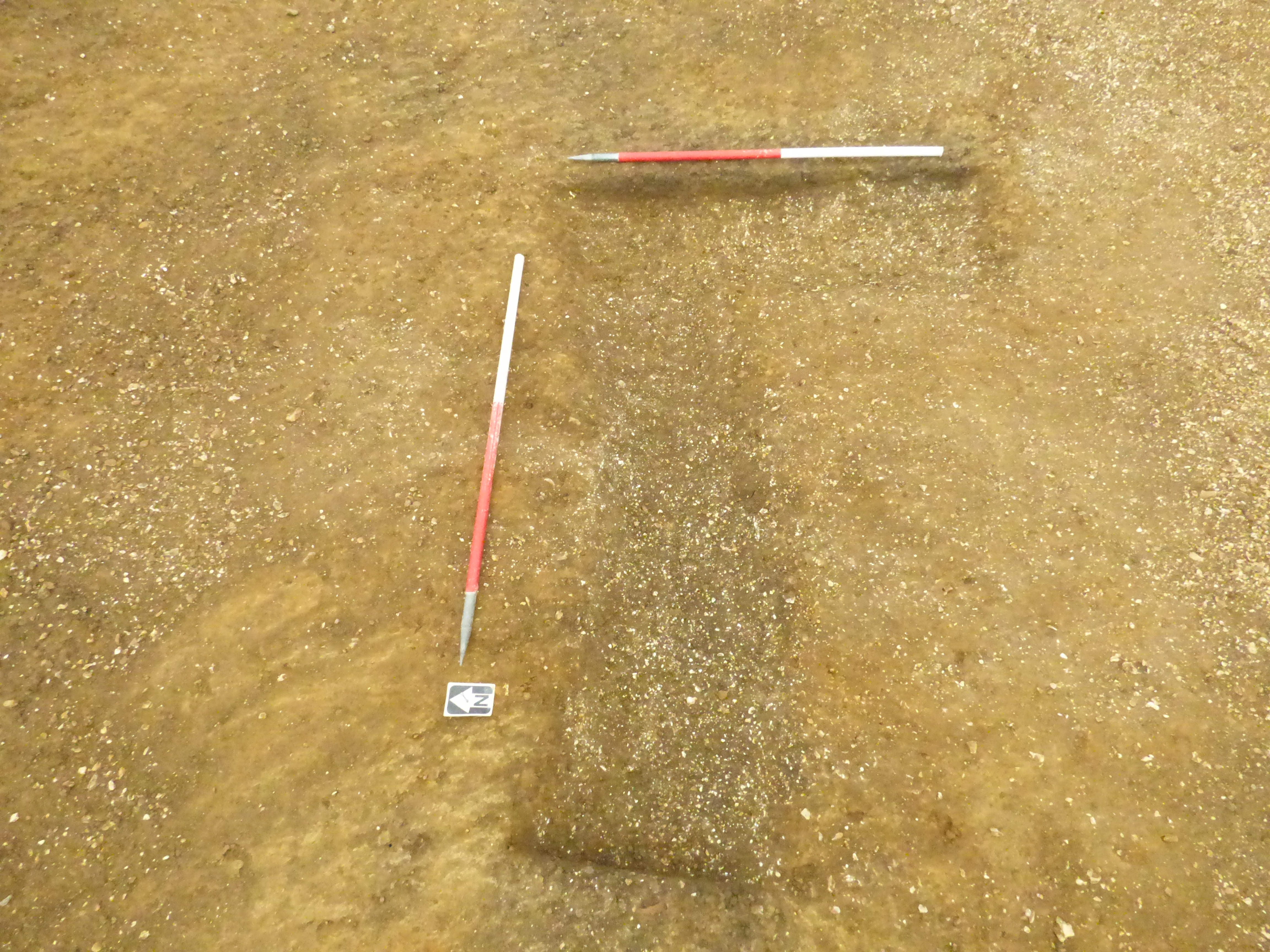
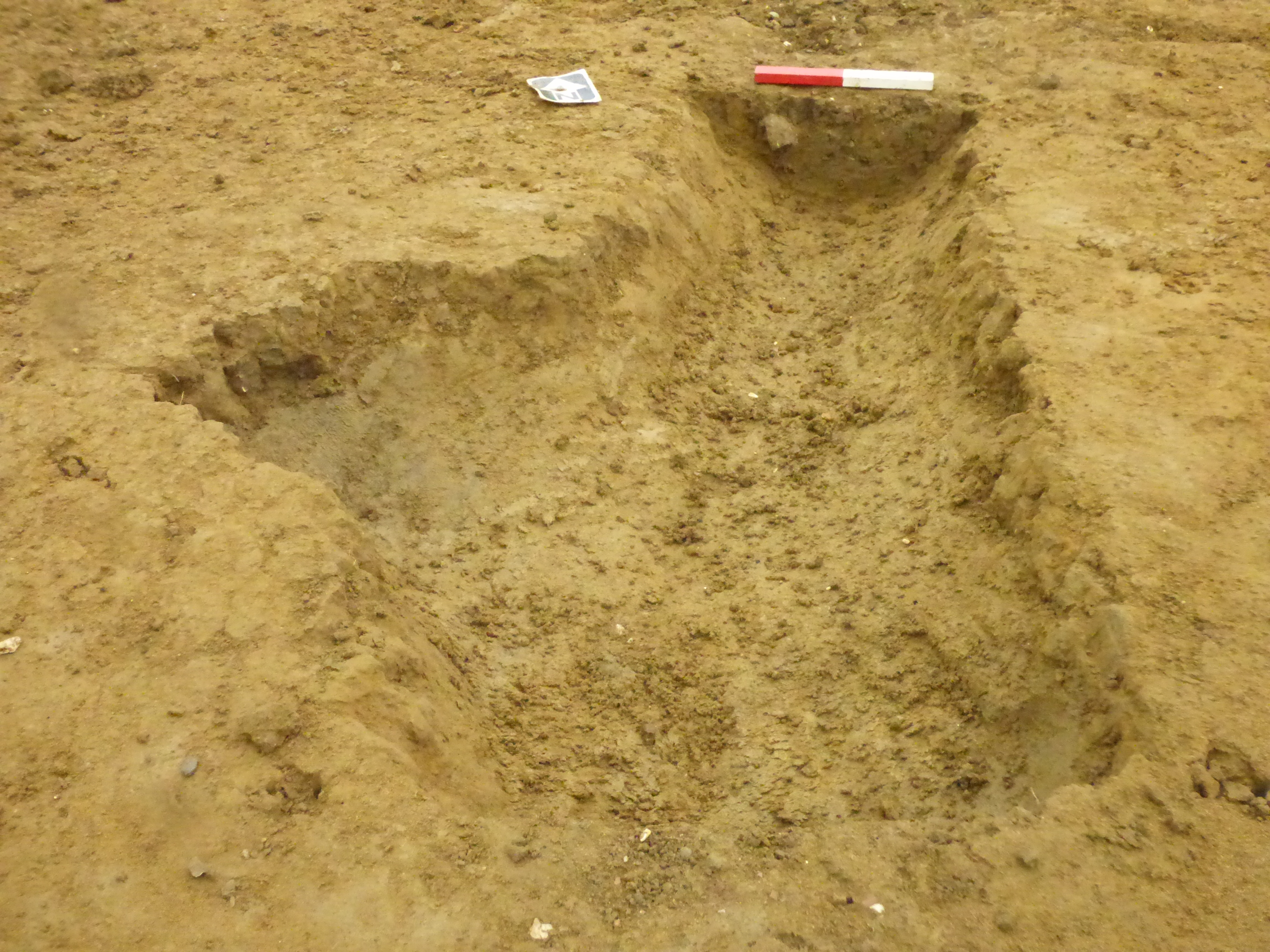
| Photograph of north facing section of roundhouse ring ditch, facing east. Parent context shown 281119, 281120. From TEA28. Recorded from the excavations at A14 Cambridge to Huntingdon, Fenstanton Gravels Landscape Block, Cambridgeshire, England | |||
|---|---|---|---|
| Filename | A14-TEA28-PN2801369.jpg (6 MB) |
JPG |
Info
Download |

|
|||
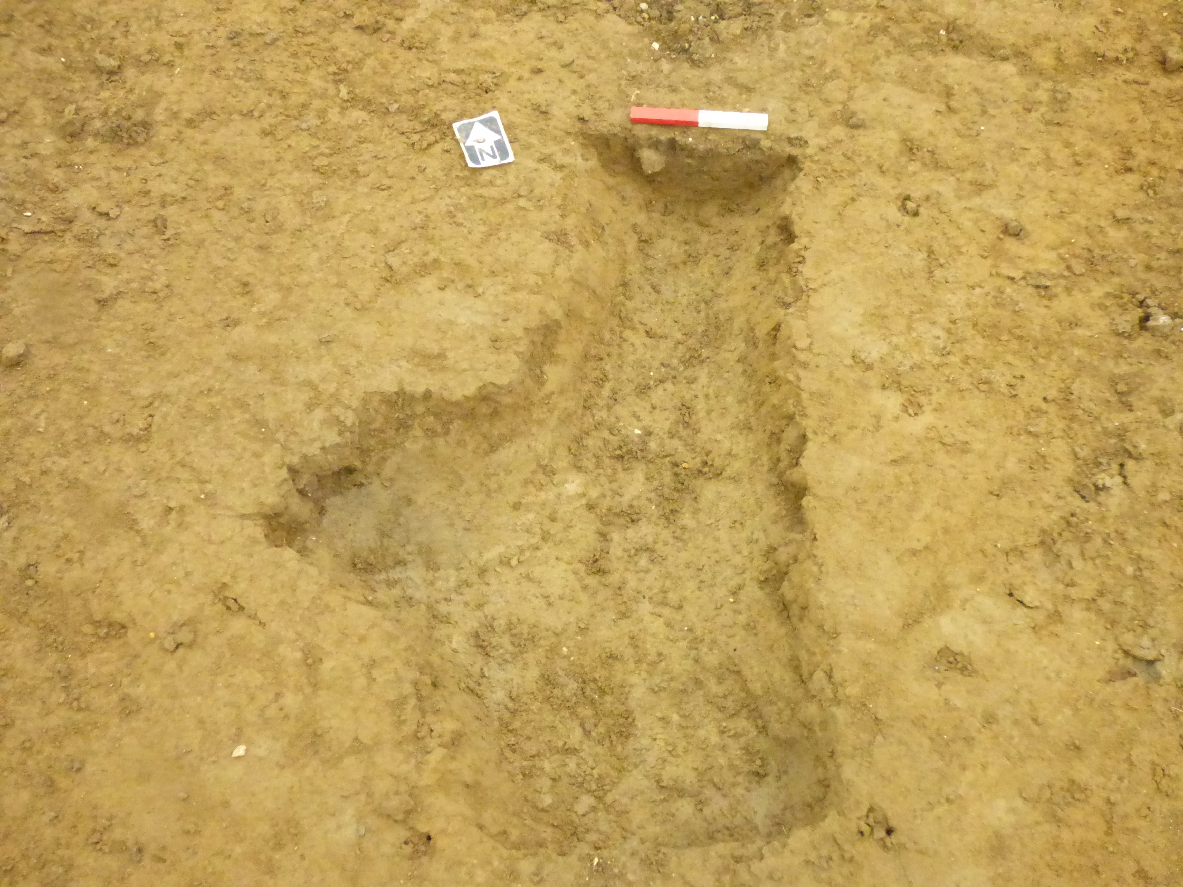
| Photograph of plan of north facing section of roundhouse ring ditch, facing east. Parent context shown 281119, 281120. From TEA28. Recorded from the excavations at A14 Cambridge to Huntingdon, Fenstanton Gravels Landscape Block, Cambridgeshire, England | |||
|---|---|---|---|
| Filename | A14-TEA28-PN2801370.jpg (6 MB) |
JPG |
Info
Download |

